Pakawau – New Territory
We were pretty excited to be heading to Pakawau, Farewell Spit, as this was going to be new territory for us. Neither of us had been to this part of NZ before and Pakawau seemed like a great base to explore the area.
We set off from Pohara where we’d been staying for 2 nights (see the previous blog) and it was just a short drive, only 45km to Pakawau so there was no need to rush the bacon and egg breakfast!
Pakawau Beach Camp
We had read some great reviews about the Pakawau Beach Camp. (#6003) Fabulous beach vistas, sunsets and friendly helpful managers. All of these were certainly a big tick on the list and for us. The other bonus was that they belong to the NZMCA CampSaver Scheme.
NZMCA CampSaver
I mentioned this scheme in my Kaiteriteri blog. We are keen to support the camping grounds that sign up to this scheme with the NZMCA which offers members winter rates to stay at their camping grounds. At $20 per night for a powered, beachfront site is certainly a win/win for us and them. This would be an otherwise quiet time of the year for them.
I spoke with Gaye the manager and asked her how well CampSaver has been working for them. She showed me the booking sheet and the highlighted pink sites were CampSaver bookings. There were a lot of pink spots on the sheet!
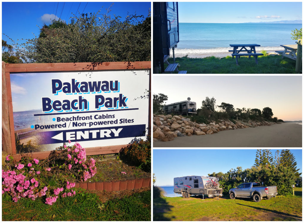
How it used to be…..a good old kiwi camping ground
Pakawau Beach Camp has 50 powered and non-powered sites for vans and tents, most with stunning sea views. There are basic amenities including a kitchen with gas hobs, toasters, microwave, fridges and freezer, tv room, token operated laundry, toilets and free showers. The facilities are your typical kiwi camping ground – how things used to be.
Gary and Gaye are the perfect managers, super friendly and helpful. Their small camp store has all the essentials if you run out (even wine and beer!). I was pleasantly surprised by how reasonably priced everything was as well. There are also petrol and diesel pumps there if you need to top up. We didn’t need to refuel but I had heard that their prices were better than other nearby towns.
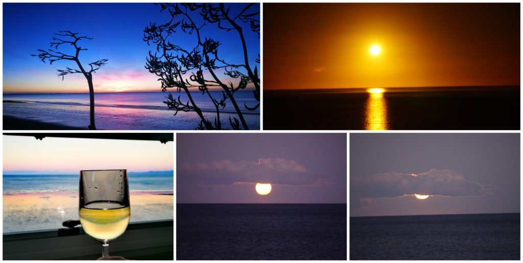
Sunrise (top left), Moonrise (top right), happy hour (bottom left)
We were lucky enough to witness the best sunrises, sunsets and moon rises we have seen.
Farewell Spit
The Farewell Spit carpark is only 11km from Pakawau Beach Camp.
Farewell Spit stretches for 34km, which makes it one of the longest natural sand spits in the world. It has been a bird sanctuary since the 1930s and is home for over 90 bird species, including a gannet colony and breeding penguins and seals.
Farewell Spit’s first lighthouse was built in 1869 to guide passing ships and to prevent shipwrecks, which occurred regularly.
History
Abel Tasman was the first European to visit the area but it was actually Captain Cook who named it Farewell Spit as he left New Zealand in 1770. It was the last piece of NZ he saw as he sailed away.
There is also a lot of evidence that Maori occupied this area and hunted for the mighty Moa and harvested their own food.
Options to View the Spit
No vehicles or bikes are permitted past the car park – so it’s either foot access only or with an organised tour party with one of the many local operators. You just need to google to find various options departing from Collingwood or further afield.
There are great reviews on these tours and is a good way of learning the local history and many will include the lighthouse, Fossil Point and Cape Farewell. Depending on which tour you choose, most will be an all-day tour and cost you around $150 each (more or less).
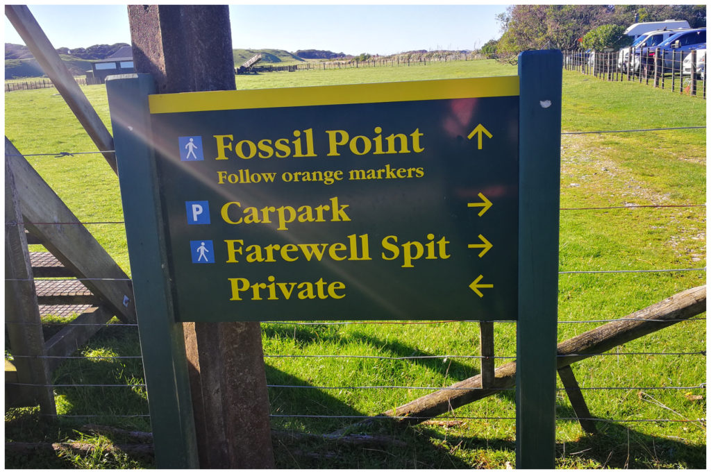
Options to turn left or right – we turned right to walk anti-clockwise
As we are avid walkers, we prefered to do our own research on the area and then get ‘up close and personal’ with the Spit by setting out on foot to explore the geography ourselves.
We set out from the carpark and walked along the inside curve of the spit, crossing over to return along a portion of the western side. This side of the spit was so different as we got sand and wind blasted from an extremely strong southerly nearly knocking us off our feet. Luckily the sandblasting wasn’t higher up than our knees otherwise it would have been rather uncomfortable.
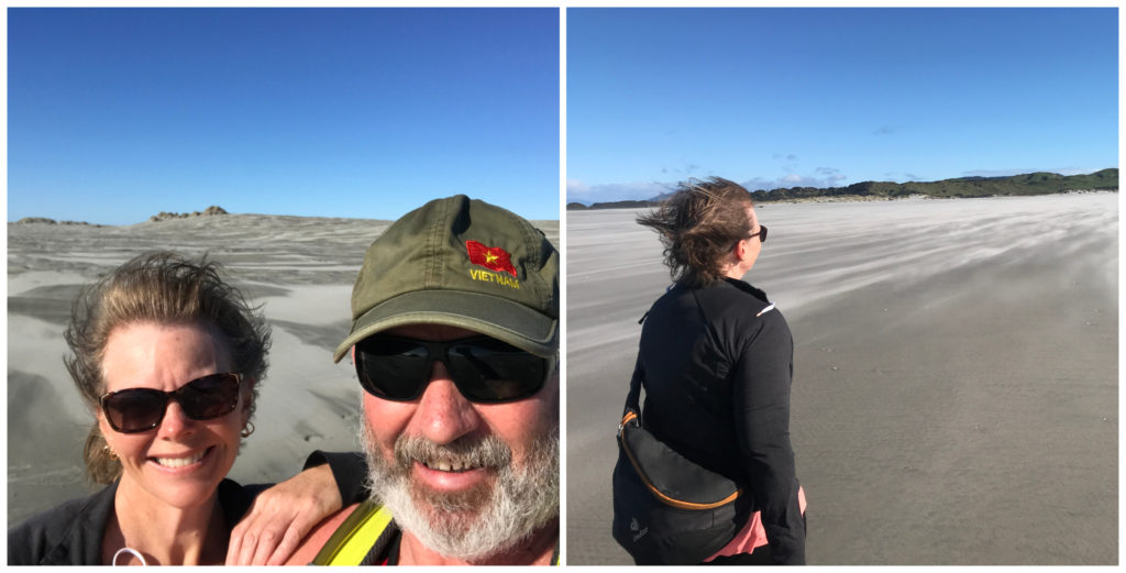
getting our sandblasting on the West Coast side of the Spit
Our wanderings took us around 2 hours and we covered a total of 12 km’s.
Diverse Landscape
Being able to wander along at our own pace gave us plenty of opportunities to explore the low sand dunes that run down the spine of the spit. The vibrant colours and textures were spectacular as the light caught the ripples and runs of the sand running down each dune. It reminded us of what the surface of the moon must look like. As the wind blew, it was evident that this landscape changes on a daily bases.
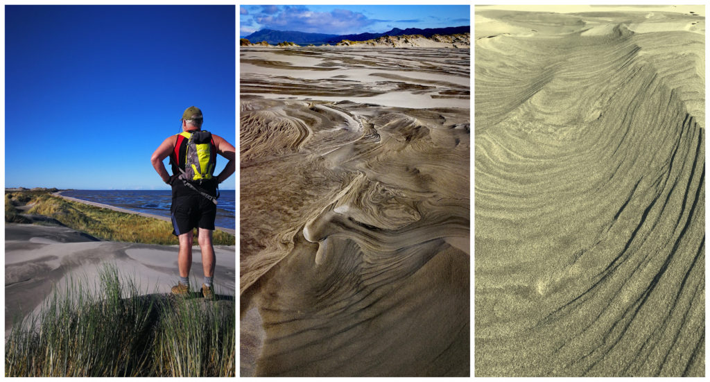
Our 360-degree views and the moon-like landscape which changes daily
From the top of the dunes, we had a 360-degree view of Golden Bay, Cook Strait and the gentle curve of the spit as it seems to stretch forever into the Tasman Ocean. Glancing over to the left was the wild ocean of the West Coast.
Devil’s Boot (Aorere Goldfields and Mines)
While doing our research of the local area, we came across information on an area called Devil’s Boots – Aorere Goldfields and Mine.
It’s a 21 km drive from Pakawau, weaving our way down a couple of side roads, through a gate (which we opened and closed of course) and to a small carpark. If you are in a large campervan it would be advisable to stop at a small parking area before you get to the gate. The ground is quite undulating which may cause a few problems.
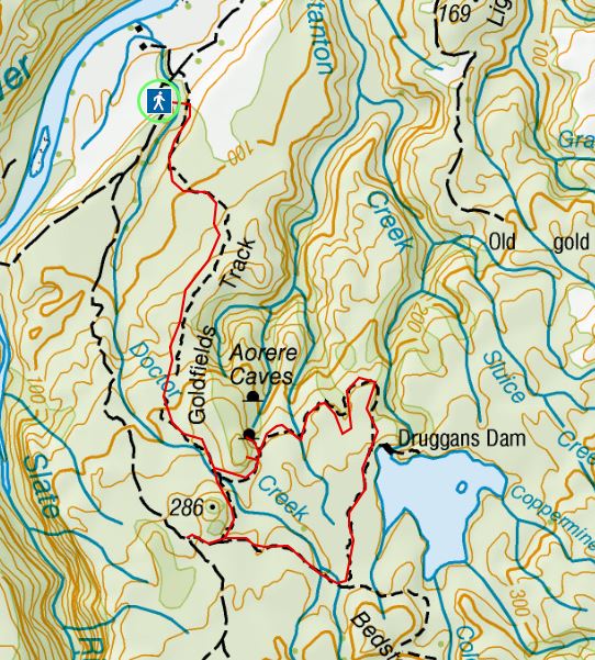
There is a walking and mountain bike loop track, which takes you to caves, mines and Druggans Dam.
Back in 1856, after a small amount of gold was discovered in the area, a gold rush ensued. More than 2,000 men converged on the area and set up a make-shift ‘tent city’. Of course, with miners, came the inevitable hotels…..7 in this area alone. Tents were soon replaced by dwellings in what is now known as Collingwood. It was expected to become a city but was never built.
The Track
The loop walking/mountain bike track winds its way through hillsides where these miners worked. We made it our mission to find some of the remnants from that gold mining era.
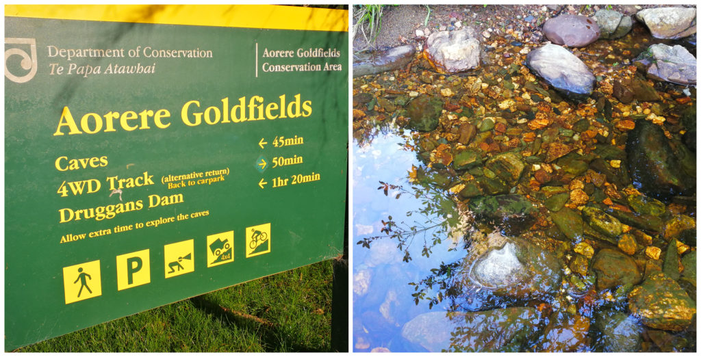
As soon as embarking on the trail from the car park, it was a steady climb, crossing a scrubby area called Druggans Flat. Much of this area was used for sluicing the gold. Still climbing through manuka scrub, we followed the original miner’s track, with dry water races beside the track in some places.
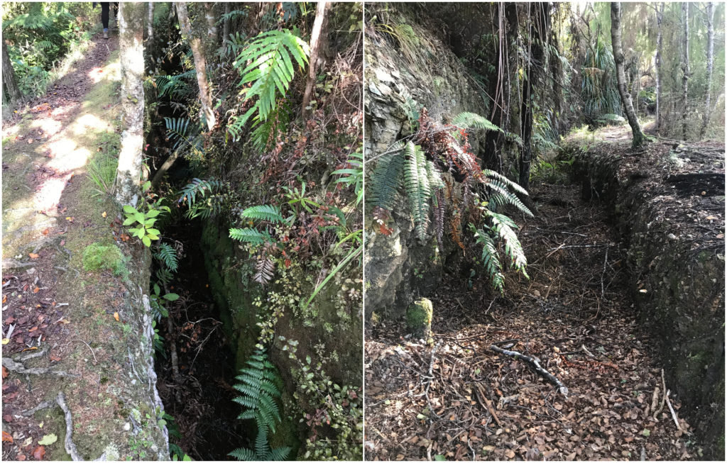
The old water races are quite clearly seen following the track
Stafford’s Cave
A little further along, there is a side track which leads to Stafford’s Cave, the 1st of two caves. A DOC sign tells us that these caves were formed more than 500,000 years ago. It also warns against damaging or removing any formations.
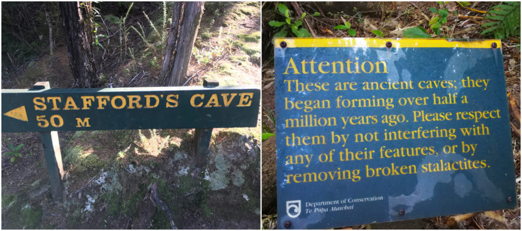
Don’t touch the stalactites……nature has taken a long, long time to make them!
We stood in awe at the massive stalactites in the large opening overhanging the entrance.
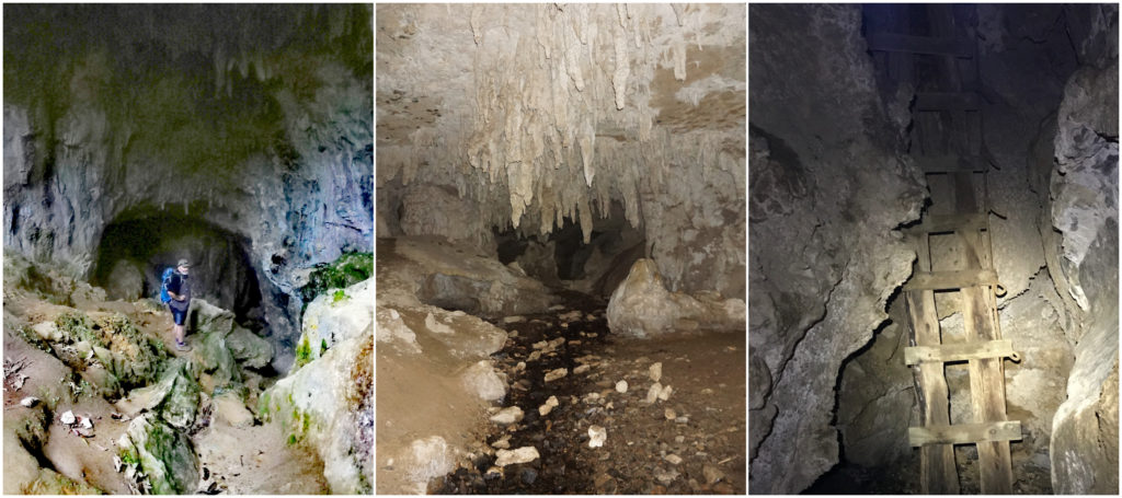
Scotty goes caving while I watch from afar – not liking the look of that ladder!!
Scotty ventured a little further into the bowels of the cave while I stayed near the entrance, finding the names of miners carved into the rock face. Most probably the early version of graffiti I’d imagine.
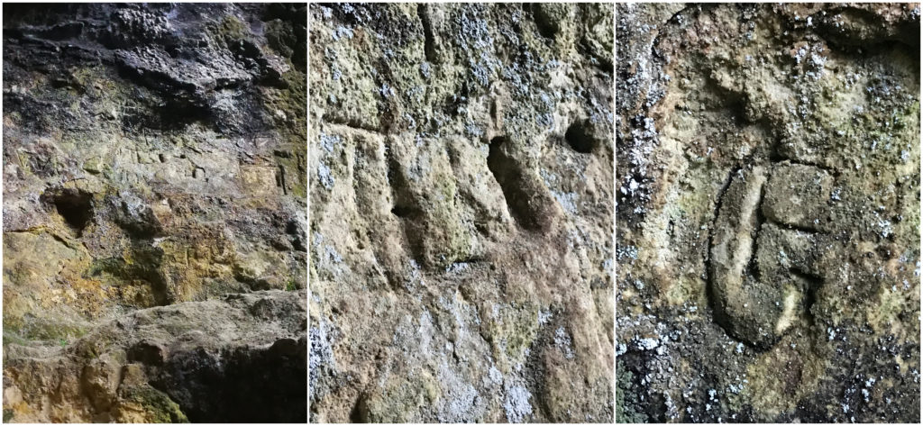
Early days graffiti, miners make their mark
Ballroom Cave
I was keen to find the next cave which is further along the track. This cave is called the Ballroom Cave and is much easier to enter. As its name suggests, it was used by the miners for dances.
The acoustics were pretty impressive and I think a few of my renditions of songs sounded straight out of a recording studio. For some reason, Scotty didn’t think so!
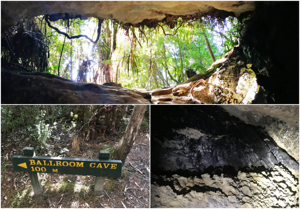
Looking up from the inside of the Ballroom Cave
Druggan’s Dam
Carrying on along the trail we arrived at Druggan’s Dam. This was built back in 1873 and the reservoir is much larger than we expected to be. There is a track that takes you over the top of what was the dam. It’s a little hard to recognise it as being a dam, but we worked out where they built up the earth and boulders to block the water from entering a large gully. They built a 4km water race but little gold was ever found. All that work for no or little return!
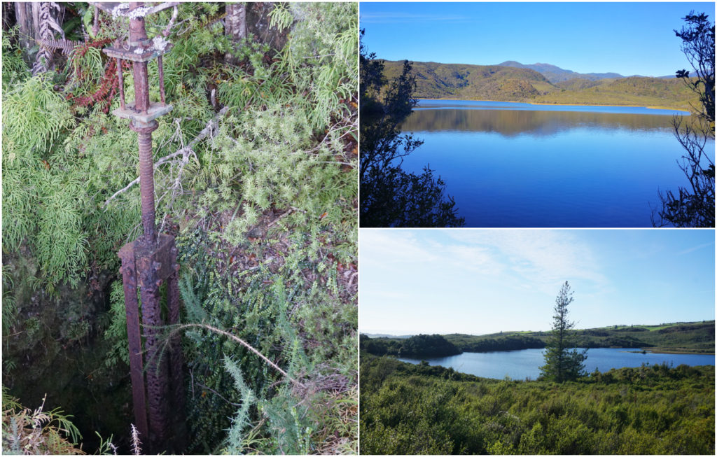
so much work so little return – the Druggan’s Reservoir and Dam
The main track carries on around part of the reservoir, climbing the last hill, for views along the Aorere Valley out towards Farewell Spit.
It is here that we joined up with a 4WD track which took us back to the car park.
Including our explorations of caves and reservoir, it took us 3.5 hours and a total of 13km’s.
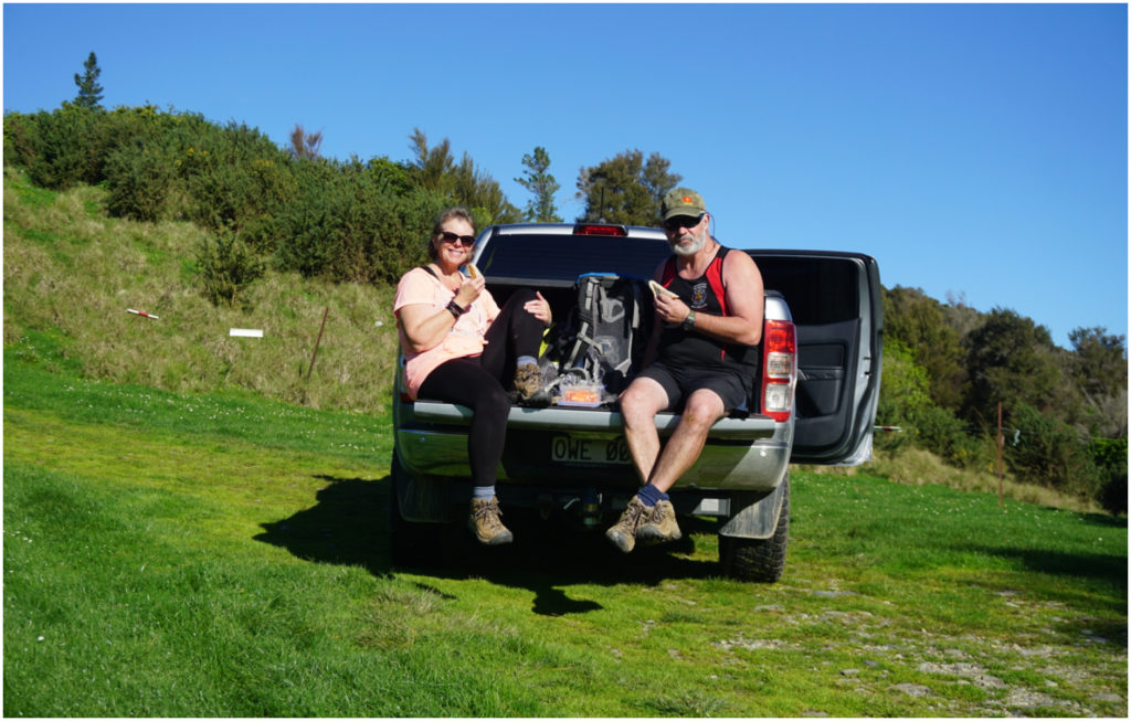
Enjoying a well deserved ‘tailgate’ lunch at the end of our hike
Collingwood’s Historical Cemetary
While having a look around Collingwood, (12km from Pakawau) we discovered a historical Cemetary, placed out of town situated up on a hill overlooking what was to be the city of Collingwood.
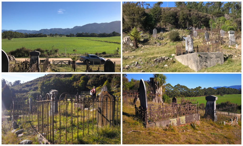
The cemetery overlooks what was going to be the city of Collingwood
Wandering around the graves dotted along the hillside, there seemed to be a large number of deaths by drowning. It appears that many of the townsfolk (many young children) attempted to cross the Aorere River. This was before the bridge was built. There were also a large number of deaths caused by mining accidents in the Aorere Goldfields.
Whanganui Inlet
I’d never heard of there being a Whanganui Inlet in the South Island, but there it was on the map, and we had heard that it is a very picturesque drive. It’s only 10km inland from Pakawau.
Whanganui Inlet (also called Westhaven) is one the largest inlets in the South Island. It used to be very popular with the early skippers who would use the inlet to escape the westerly storms.
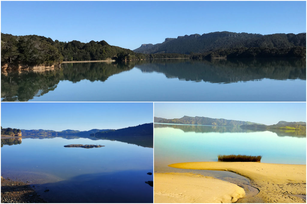
We had the most amazing views unfold before us as we drove around the largest inlet in the SI
The area was littered with flax mills and sawmills and ships would sail into the inlet to load up with the flax and wood.
Much work was involved to build the road which skirts the inlet. There are many causeways to cross and makes for an easy drive. Back in the day, the road could only be driven on low tide as they were built on the mudflats of the inlet.
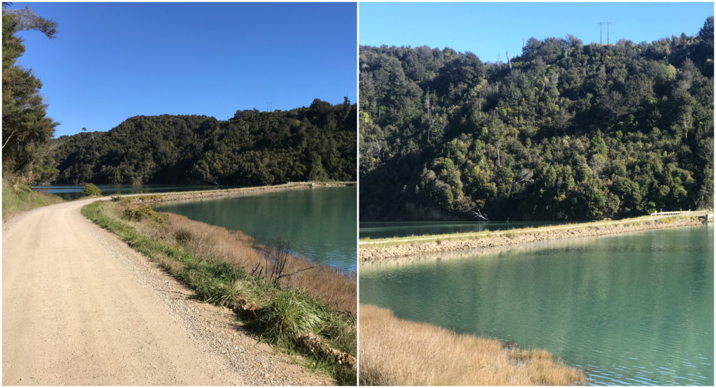
Just a couple of the multiple causeways which makes this an ‘all tide’ roadway
The southern third of the inlet is now a marine reserve and rest is a wildlife sanctuary.
The road continues quite a distance past sheep farms until you come to a gate. There was no signage to say if we could enter so we took this to be ‘roads end’.
Paturau Beach
We did a U-turn and detoured to Paturau Beach. A lovely stone beach with a freedom camping area right on the foreshore. You would need to pick the days to camp there as it is extremely exposed to the coastal blasts that occur in this area.
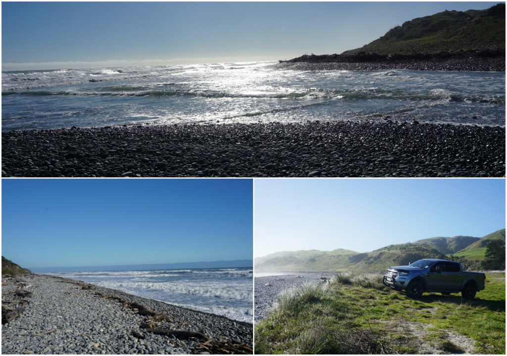
a beautiful deserted beach, nearly at road’s end
White Elephant Wharf
Driving back we stopped off for a picnic lunch at an old wharf within the Westhaven Inlet. Clearly, it had been a hive of activity back in the day and would have been a busy hub. There were remnants of crayfish pots and there was a sign telling us about the area. This is the final resting place of an auxiliary scow which worked Westhaven Inlet and Golden Bay called the Kohi.
Her last voyage was in 1966 before she was brought by a group of fishermen who towed her to the wharf where she was used as a base for their crayfish operations. Here, they tailed the crayfish, stored them in freezers ready to be picked up by truck.
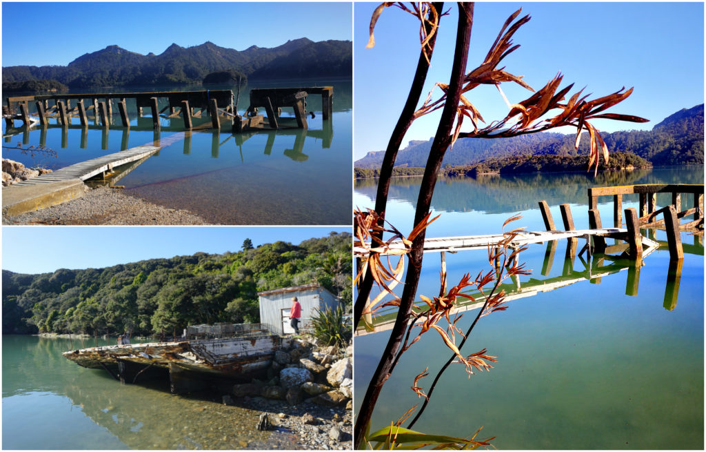
The White Elephant Wharf and the hull of the Kohi
She is still at her final resting place at the wharf known by locals as the ‘White Elephant’ wharf. Today she is still used as a storage place for the crayfish pots.
Cape Farewell
Our last stop for the day was a visit to Cape Farewell. We were looking forward to standing on the northern-most point of the South Island. From this point, you are sitting roughly in line with Foxton in the North Island.
You get a feeling of total remoteness. In fact, because of its location, it is one of the less visited of NZ’s capes.
We drove to the carpark, and it was only a short 5-minute walk to the viewing platforms. If you’re feeling more energetic, there are walks along the cliffs to either side of the viewing areas.
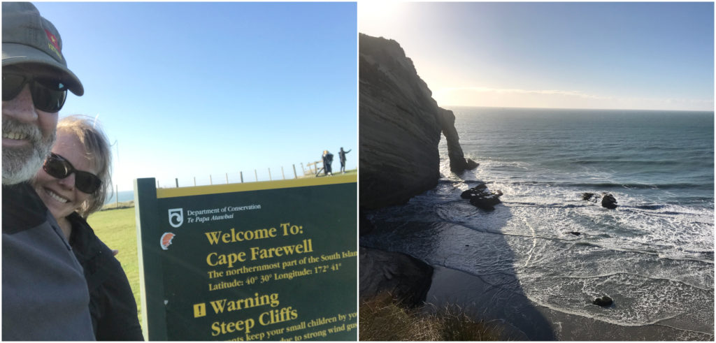
Not at the top of the world…..but at the top of the South Island
It is a wild, windy place with vast quartz sandstone cliffs which drop dramatically to the pounding sea which hammer this coastline. Speaking of which, be prepared for wind. It can blow so hard that it can catch you out unexpectedly. Keep those feet grounded and be prepared for the gusts.
The Old Langford Store
The old Langford Store is nestled in the Aorere Valley on the way to the Heaphy Track. It is a historic General Store & Post Office and has been operating by the same family since 1928.
Unfortunately, the day we visited, they were shut due to linesmen working on the power lines and no one in the area had electricity. We missed out on our espresso coffee, scones and a sweet treat. I would have loved to have been able to browse the Storeroom Art Gallery and look for treasure on the old shelves. I’ll have to put this on the list for next time.
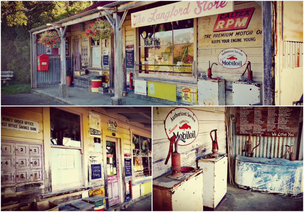
A step back in time at The Old Langford General Store
Summary
We enjoyed our time exploring this previously unknown area. Pakawau Beach Camp turned out to be the perfect base. Although it was winter, it was a great place to visit without the hoards of summertime visitors and tourists. Just the best time to be on the road for sure.
Click on the link below to view a video of the highlights of our 3-night stay at Pakawau.
