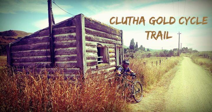
We are so spoilt for choice when it comes to cycle trails throughout New Zealand. The Clutha Gold Cycle Trail is one such trail that has been on our radar for a while.
The Logistics
When you start researching cycle trails, logistics come into play. There are decisions to make on how you want to tackle it.
- There is sometimes an option to ride a trail one way and booking a shuttle to return you to your starting point
- Riding one way in sections, paying to stay in accommodation along the trail and then a shuttle back
- You can arrange for another party with transport to start in the opposite direction then you meet up and swap keys so you can carry on to their vehicle, drive yourselves back and vice-versa (providing you can get your cycles onto or into their vehicle
- Decide on how far you want to cycle, turn around and cycle back to where you started (usually your basecamp, then drive to another point of the trail and do the same
And the list goes on! You need to take into account where you can safely camp, charging of batteries if required and also weather conditions.
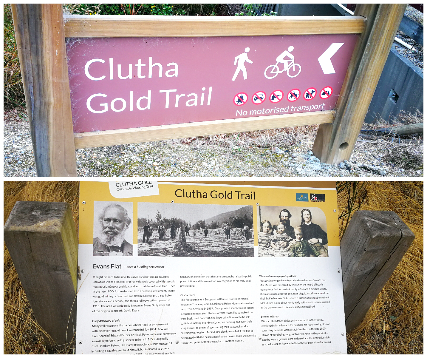
The start/finish line at Lawerence
How We Cycled The Clutha Gold Cycle Trail
We chose the last option listed above. Some don’t relish the thought of returning the same way they have just cycled. You get a different perspective when facing the other way and appreciate your surroundings from a different angle.
The entire trail is 73km long so we tackled the whole trail in 3 sections:
- Lawrence to Beaumont – 54km return
- Millers Flat to Beaumont – 43km return
- Millers Flat to Roxburgh – 45km return
Part One – Lawrence to Beaumont Rtn
As mentioned in my previous blog (click here) we had set up base camp at the beautiful (and free) Grey’s Dam at Gabriel’s Gully, just out of Lawrence. This is located 4.2km from the official start/finish of the Clutha Gold Cycle Trail.
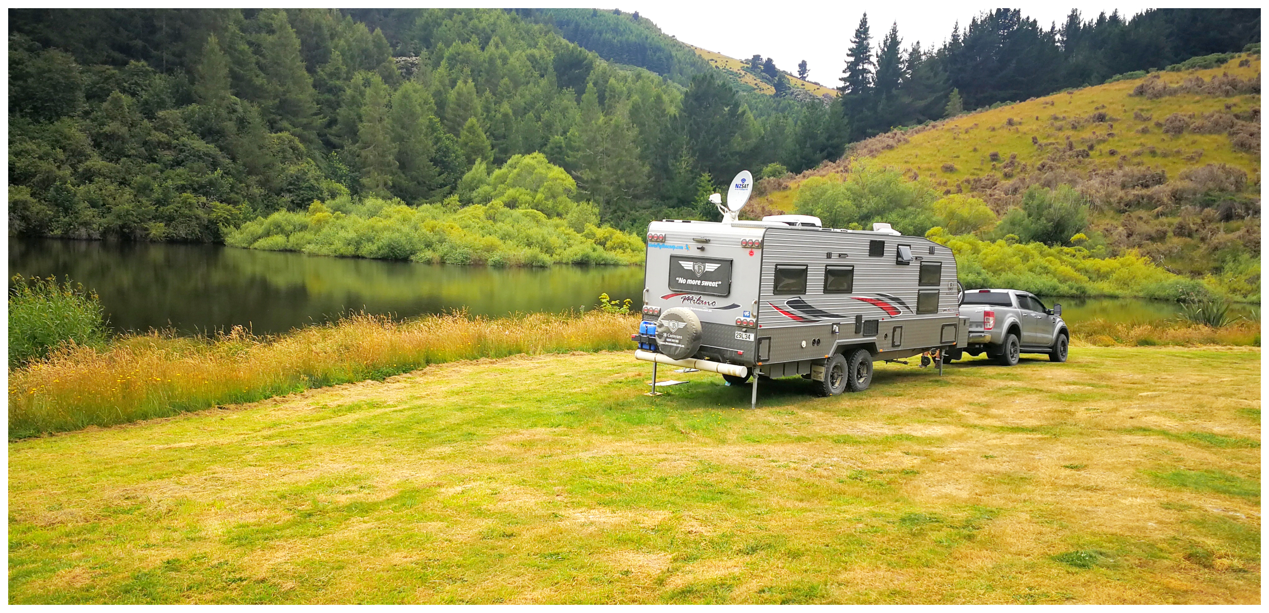
Our camping spot at Gabriels Gully
The trail is a popular one, so it is a wide and well-formed track We were aware that the section from Lawrence to Beaumont climbs to the highest part of the trail. It was probably a good idea to get this out of the way early in the piece. The rest of the trail would best be described as undulating to flat.
Old Chinese Town
We set off from base camp and not far along the track we spotted the old Chinese Town (see my previous blog). I would recommend a short detour to learn all about the Chinese miners who populated this area in the 1860s. As we had already visited, we continued on our merry way.
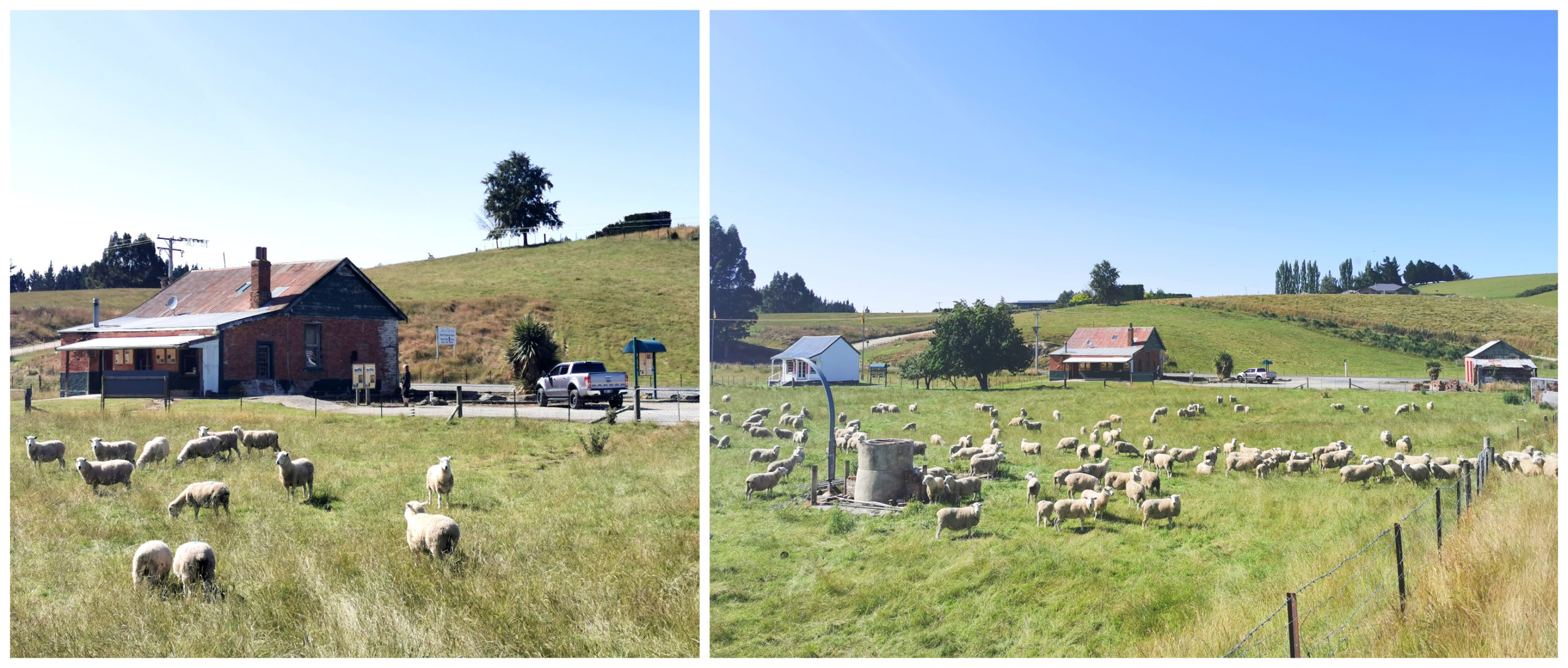
the view of the buildings taken from the cycle trail
Big Hill Tunnel
The Clutha Gold Cycle Trail climbs gently along the old railway line to the highest point of the trail, to the Big Hill Tunnel.

Into the dark abyss
The 440m dark tunnel (take a torch or headlamp) was built to provide better access to Lawrence during the massive gold rush. A series of slips, bankruptcies and the start of WW1 meant that construction was delayed, but this section of the line eventually opened at the end of 1914.
Once through the tunnel, it is a sweeping downhill leg amongst lush farmland. The trail crosses the main highway a few times (cross with care) and predominantly follows the defunct railway corridor through to Beaumont.
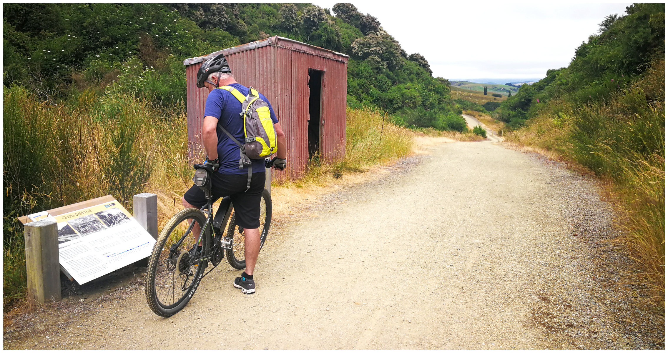
through to the other side, it’s all downhill to Beaumont
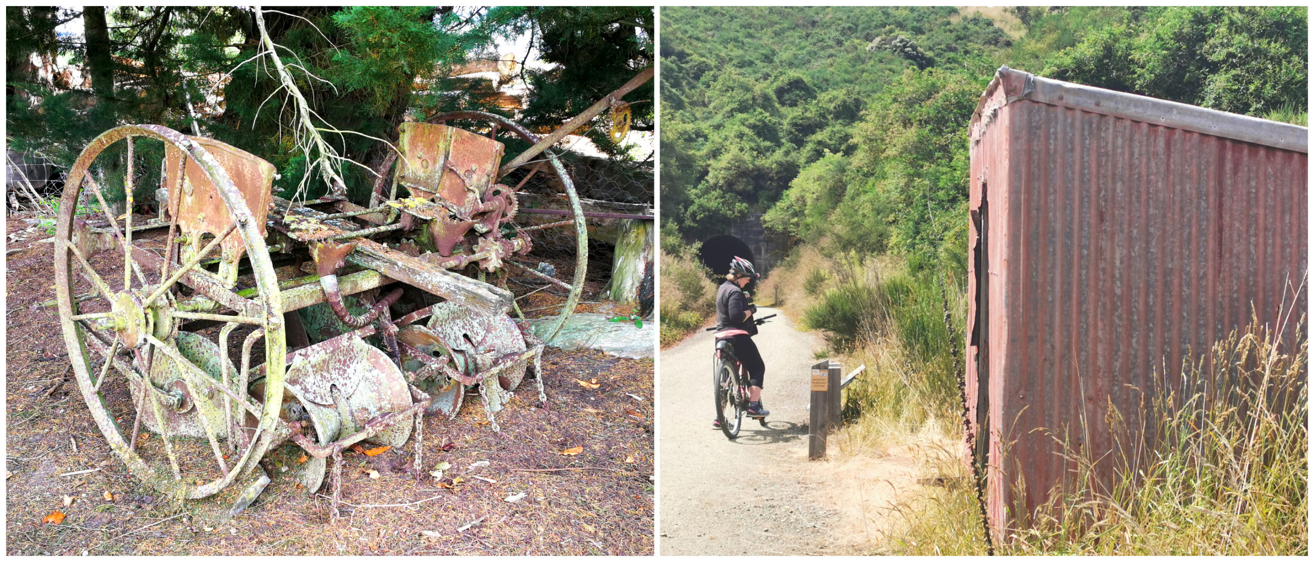
railway sheds and old relics dotted along the side of the trail reminded us that we were on the old rail track with a rich farming history
Beaumont
We eventually made it to the small historic township of Beaumont. It was a busy terminus for the branch line railway which eventually became the Roxburgh Branch until 1968. There are still relics of the old stockyards and a bridge over the Beaumont River.
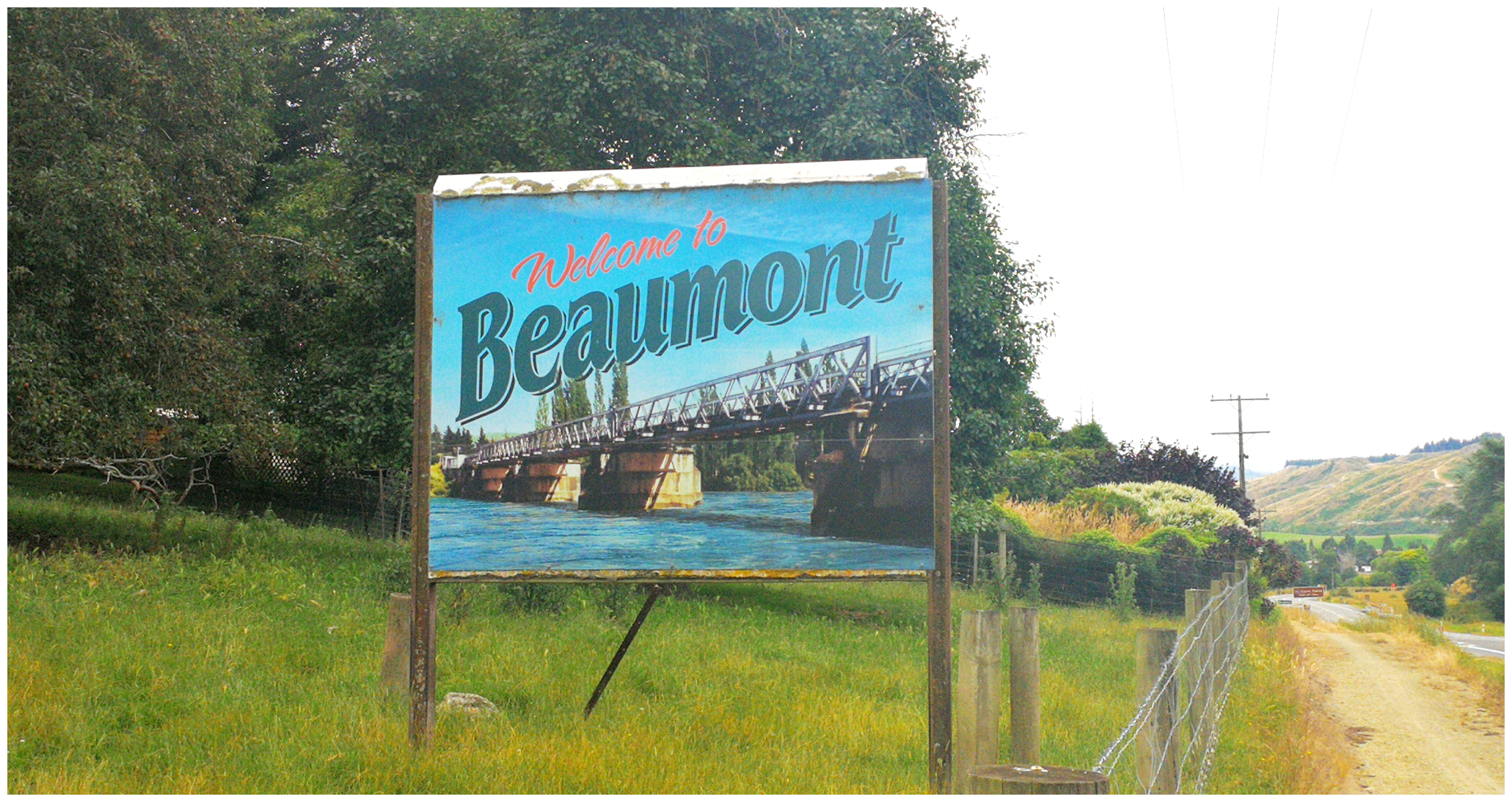
Welcome to Beaumont
Well before this, however, it was an important staging post for trade and travel. Steamboats which plied the Lower Clutha River considered Beaumont as an important stop along the way. There were also the 150 gold-dredges on the Clutha River during the boom years of the gold rush.
The Beaumont Hotel is an iconic country pub and is renown for its food and friendly service. It is also another option if you are looking for a base camp to explore the cycle trail as they have an overnight parking area available (NZMCA#8881). There were a total of three hotels in Beaumont in its heyday. The Beaumont Hotel was closed when we rode past so there goes the opportunity for a cold one or two en route. Probably was a good thing when trying to cycle the return leg!
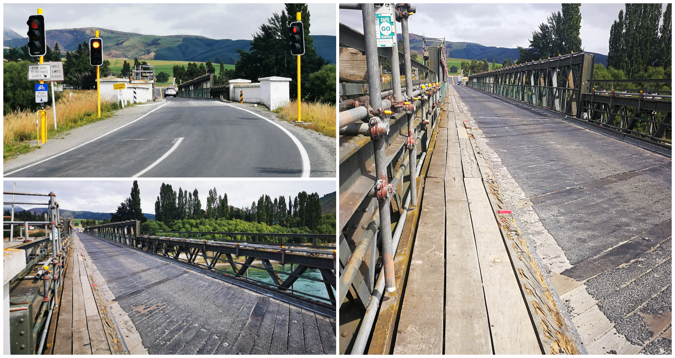
It’s not pretty but still does the job – the original old Beaumont Bridge
The Beaumont Bridge, which is still in use today, is the longest and oldest (opened 1887) usable bridge in NZ. This is the 4th bridge which was built at Beaumont as the previous ones were washed away by floodwater.
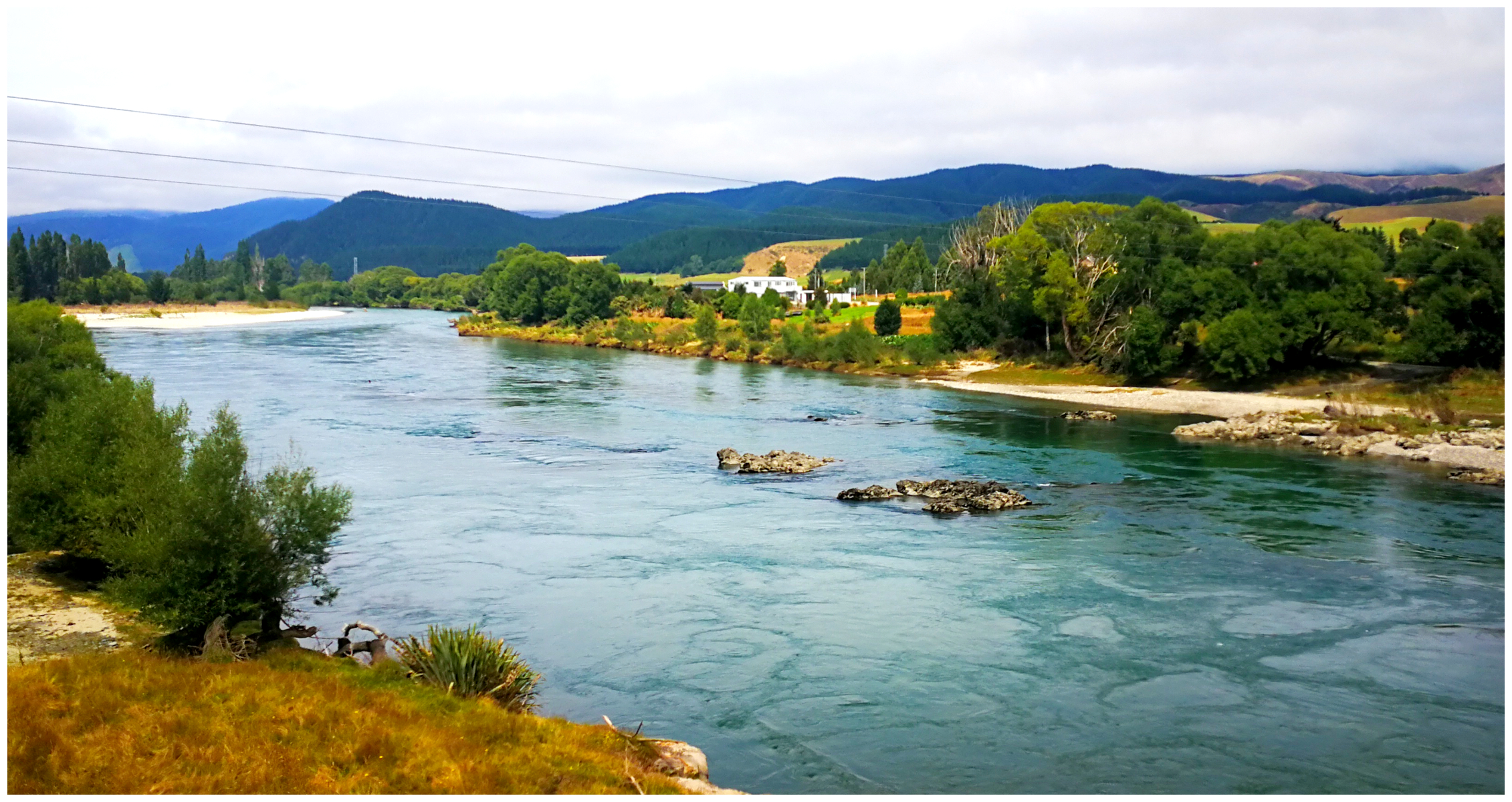
Once we cycled to the bridge we started to get our first glimpses of the mighty Clutha
Lunch Stop
We decided to keep peddling and carried on along the trail for another 4km, looking for an ideal lunch stop. We certainly found it. A beautiful picnic spot beside the Clutha River.
This is a wild and unforgiving, fast-flowing river with major whirlpools and strong currents. It ebbs and flows (sometimes viciously) between rocky outcrops which makes it truly special to watch.
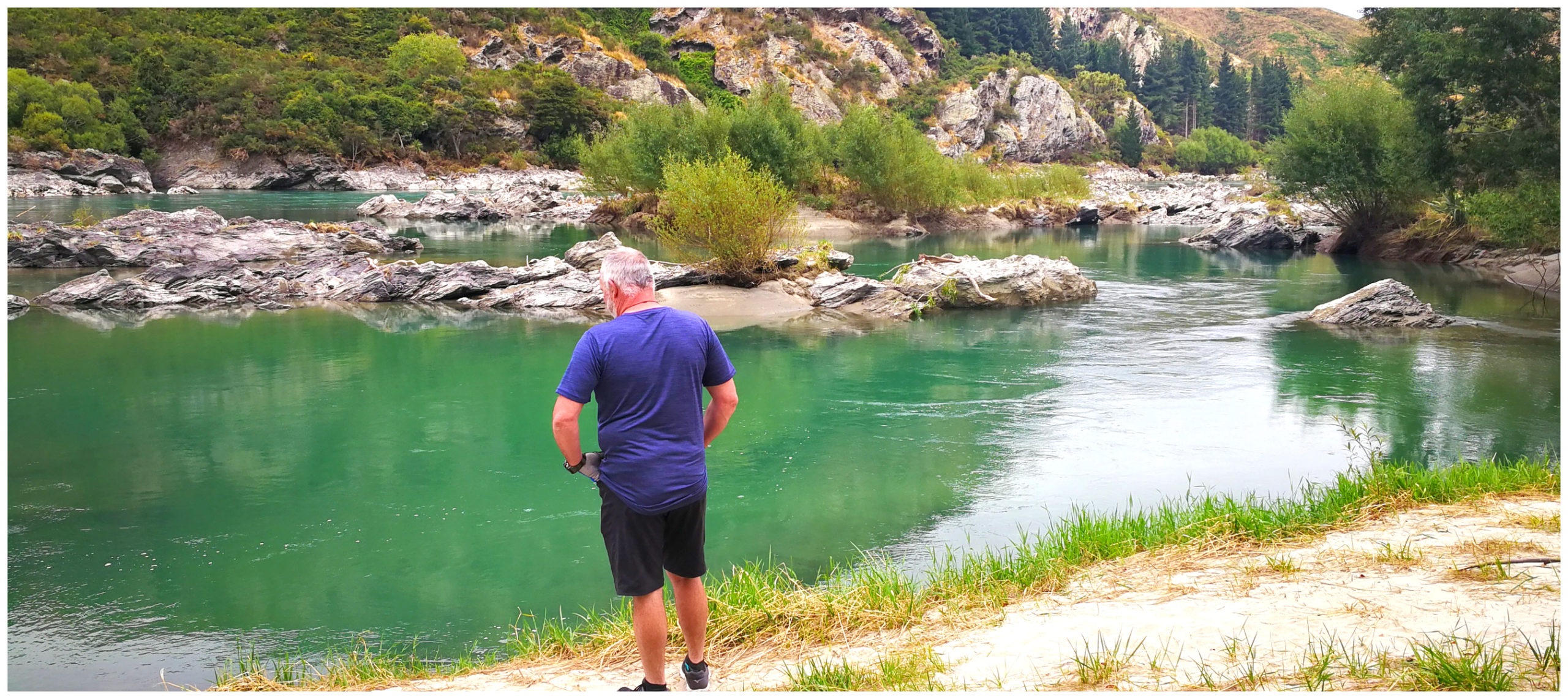 What an idyllic lunchtime stop
After we devoured our packed lunch, we decided that the rest of the trail could wait for the next day. We turned our bikes around and headed back to Lawrence.
As mentioned earlier, the view is completely different on the return trip and we enjoyed our ride back just as much. For some reason, it never seems as long to get back as on the way there.
With the extra kilometres tacked on to Gabriels Gully, as well as the additional distance to get to our lunch stop, we covered 54km for this return section of the trail.
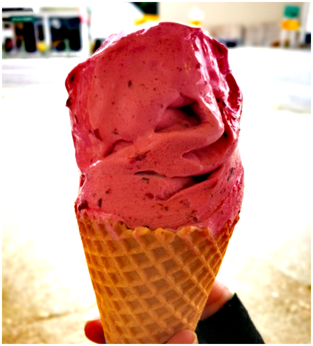
Okay, 54 km on the bike – I think we deserved this on our return to Lawrence!!
Part Two – Millers Flat to Beaumont Rtn
It was moving day for us today. We hooked up the caravan and headed to Millers Flat Holiday Park. It is only a 40km trip so we were there in no time at all.
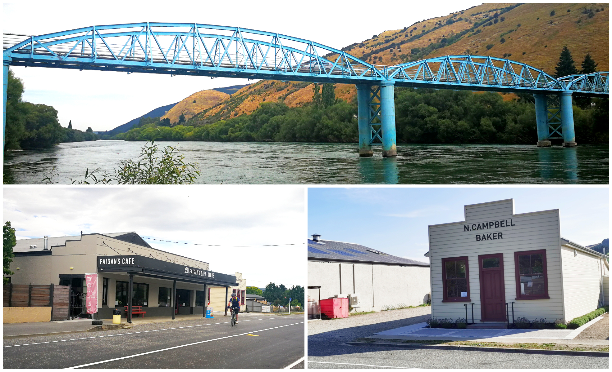
Millers Flat Bridge, cafe and gift shop and a really interesting Baker’s Museum (worth a look through)
This wee town started life as a stop on the branch railway line to Dunedin, which closed in 1968. Today it offers visitors dining in both a cafe and pub, along with a handful of accommodation options catering predominantly for the cycle trail users.
We very rarely stay at camping grounds but we decided to treat ourselves to a couple of nights on power. We knew that we had a couple more full days of cycling so it was going to be nice not to be too concerned about a lack of sunshine to charge up our e-bike batteries.
All charged up and ready to go, we were back on our bikes to ride the trail from Millers Flat towards Beaumont. What a stunning section of the trail.
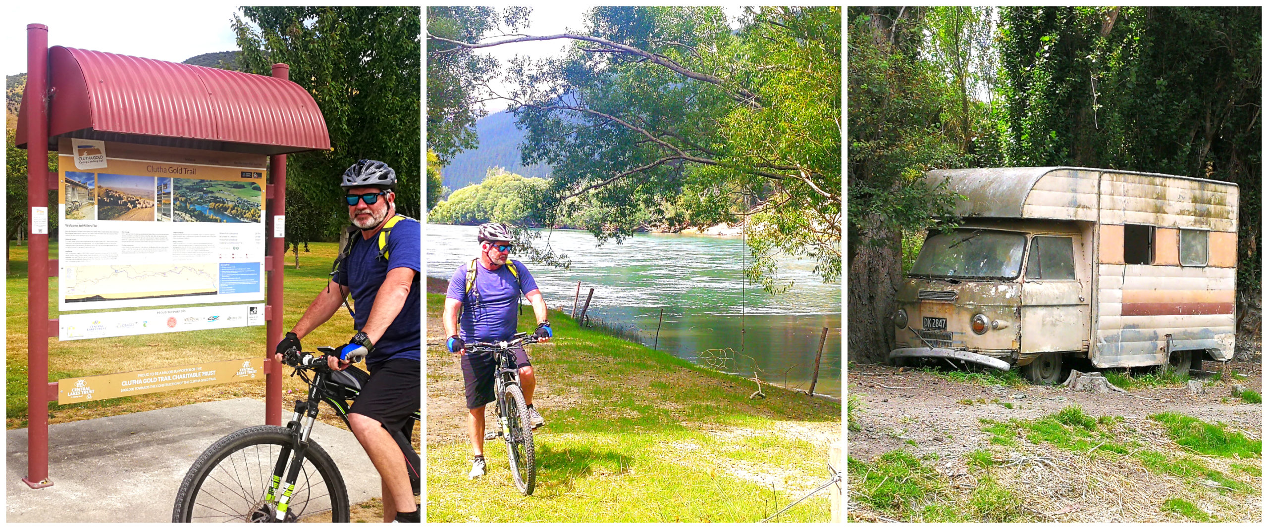
Ready, set…..go! Part Two here we come. This sad looking Commer Camper was someone’s pride and joy once upon a time
This section of the trail is more riverside based and custom-built as it veers and twists away from the original railway track.
There are a couple of short detours on this section, which are certainly worth taking.
Horseshoe Bend Suspension Bridge
Approximately 7 km along the track towards Beaumont, we found the sign pointing to the Horseshoe Bend Suspension Bridge. We jumped the fence and walked along the well-formed track for around 15-20 minutes.
Like many gold mining settlements, the village at Horseshoe Bend, with a population of around 2,000, found themselves on the wrong side of the river. They had to devise a way to get across the dangerous, fast-flowing Clutha to get to supplies and schools. These settlements were located on the road between Lawrence and Alexander.
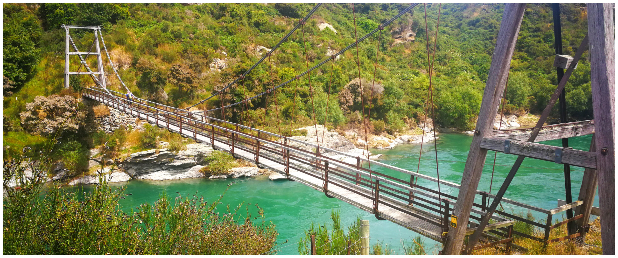
a huge improvement on a wire chair swinging across the swift-flowing river!
The residents first braved the swift current with a boat. This certainly wasn’t the preferred (nor safest) method so they strung a cable across and devised a wire cage and then a chair. It’s not surprising that the roll at the local school continuously dropped as the children feared the trip across the river in the chair. I can’t say I blame them!
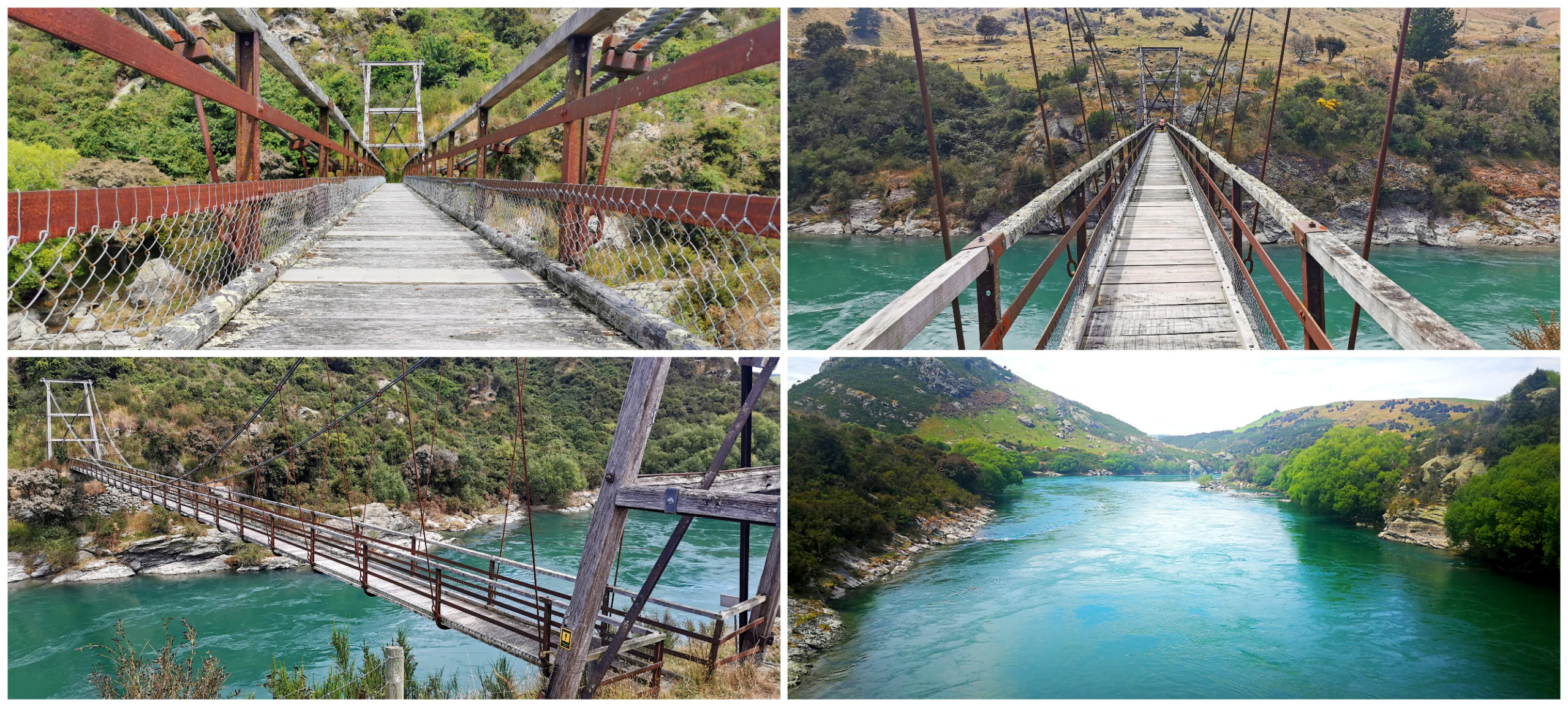
taking the view in of the mighty Clutha whilst navigating the swinging bridge
In 1913, the timber pedestrian suspension bridge was built, I’m sure, was met with much relief to the community (including the school kids).
Nothing remains of the settlement at Horseshoe Bend, but the suspension bridge was restored by DoC in 2001 and reopened to the public in 2003.
It can also be reached from SH8 and is part of the Teviot Valley Walkway
It is a very impressive structure and blends in well with the beautiful surrounding landscape and a fitting reminder of the historic gold mining settlement.
Lonely Graves
Back on our bikes, it was only another 1 km down the trail where we detoured again to visit the Lonely Graves. I find the whole story surrounding these two graves quite fascinating.
There are a couple of different versions of how they came about.
Legend has it that in 1865 an Irish miner (William Rigney) was working at Horseshoe bend gold diggings, and found the body of a young man. After contacting the police, permission was given for the unknown man to be buried. A funeral was held and attended by everyone from the diggings. William Rigney arranged for a pine slab to be erected with the words: “Somebody’s Darling Lies Buried Here.”
William died in 1912 and according to his instructions, he was buried next to the grave of the unknown man. His headstone reads ‘The man who buried “Somebody’s Darling”‘.
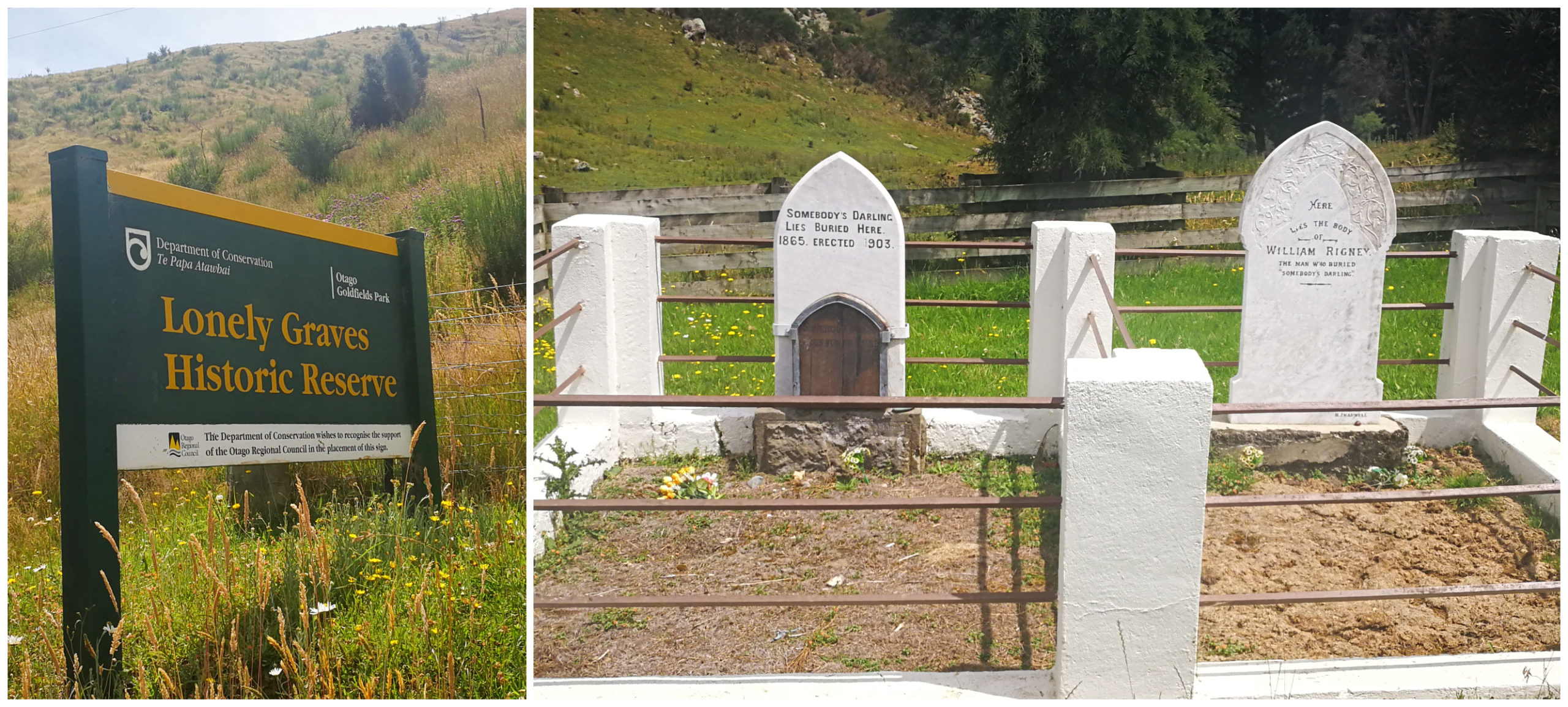
The lonely graves headstones, telling their own story
There is, however, a more formal version of the story. William did not find the body, but built the fence around the grave and erected the headstone. Although there is no official record of the burial, proof of an inquest indicates that the deceased was probably a butcher who drowned while herding cattle across the swift river.
Regardless of which story is the true record of events, it’s a testament to the kindness of strangers. A reminder of the tragedies which surrounded the Central Otago pioneers.
Lunch Stop
Almost two-thirds of the entire Clutha Gold Cycle Trail travels alongside the powerful and magnificent Clutha River. We found our lunch spot picnic area from a couple of days earlier and decided this was still the best stop to devour our packed lunch.
Sitting there beside the swirling distinctive turquoise coloured water, we discarded our shoes and socks and dipped them into the cooling water – it is good to be alive.
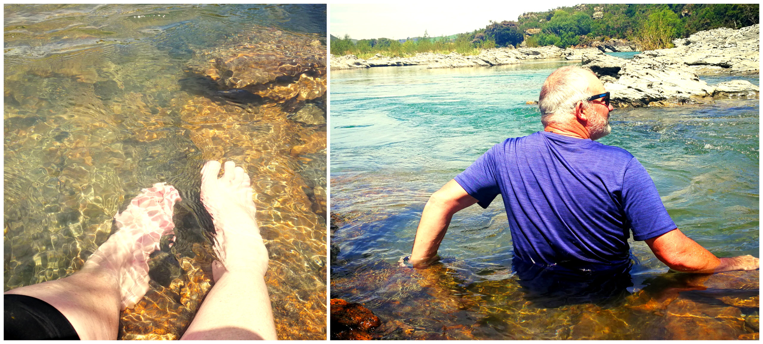
some needed more cooling-off than others, but that water was certainly refreshing
By the time we made it back to base camp at Millers Flat, we had cycled 43km. That first cold beer didn’t even touch the sides. It had been a hot day.
Part Three – Millers Flat to Roxburgh
Because I’m very geographically challenged in and around this area, I had to do some research to understand exactly where the end (or start) of the trail is.
We were still based at Millers Flat Holiday Park, so we mounted our bikes and set off heading towards Roxburgh. This portion of the trail is around 20km one way.
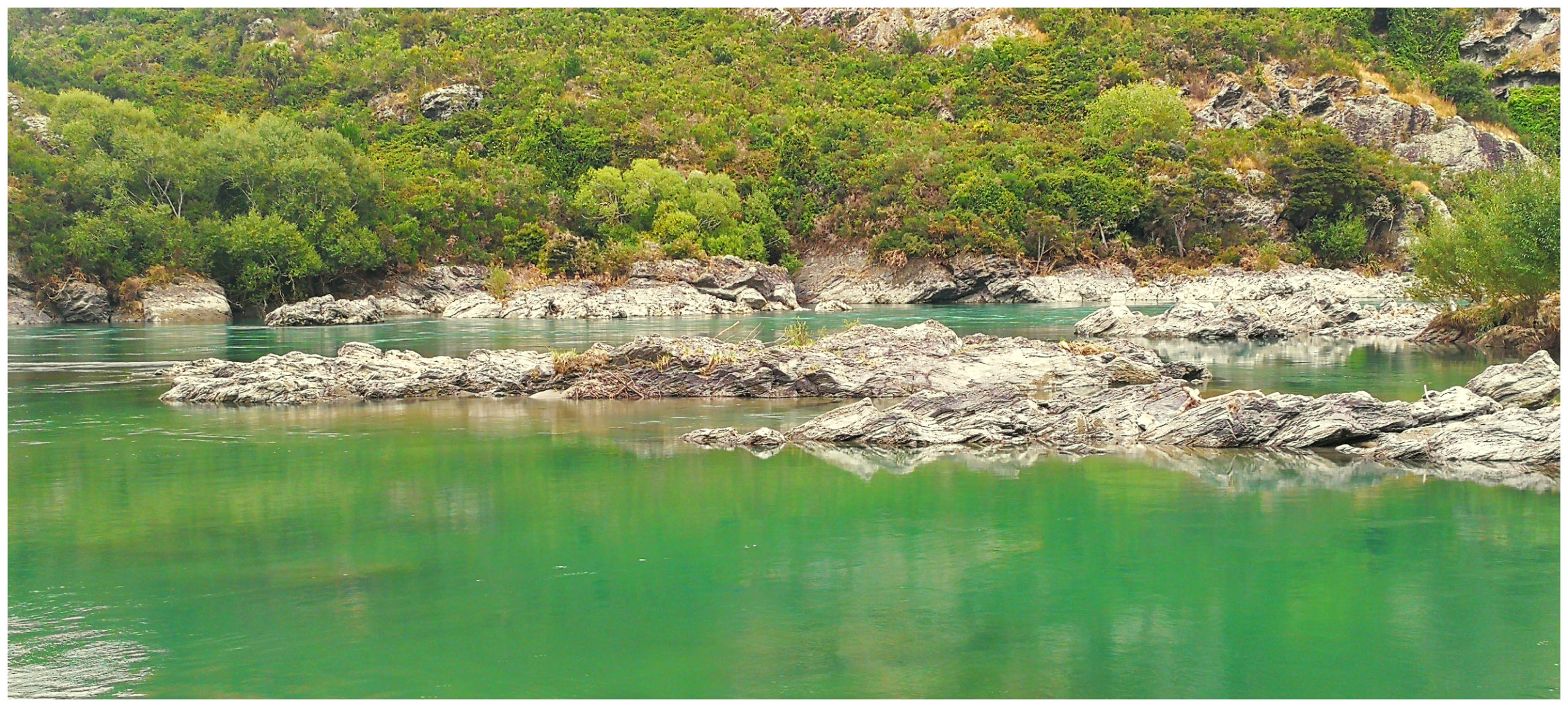
never get tired of seeing views like this
We meandered our way along the mighty Clutha River, weaving through weeping willows. The landscape had changed since we began the trail a few days ago in Lawrence. We had gone from rolling pastoral farmland to stunning rock formations. Pillars of rock seem to cling to hillsides, rising from the turquoise waters of the river.
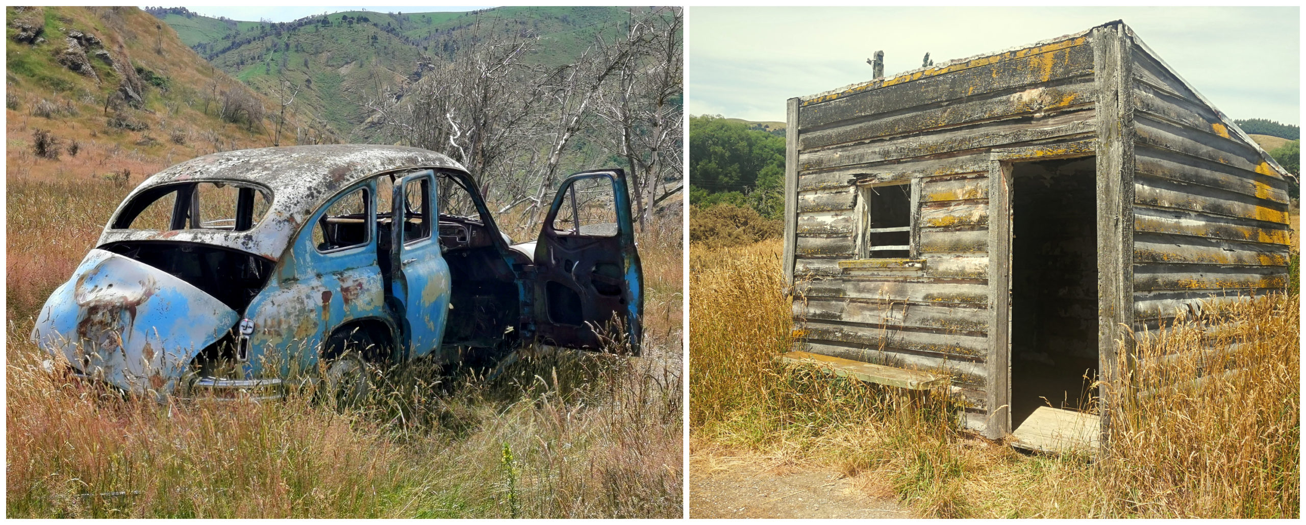
more relics dotted along the side of the trail
Historic Teviot Goods Shed
Always keen on any detours available, we couldn’t resist following the sign pointing to the historic Teviot Goods Shed. The sidetrack (which is used in times of flood) is only around 9km from Millers Flat. This takes you to Teviot Rd where you can easily spot the Goods Shed sitting in the middle of a farmer’s paddock.
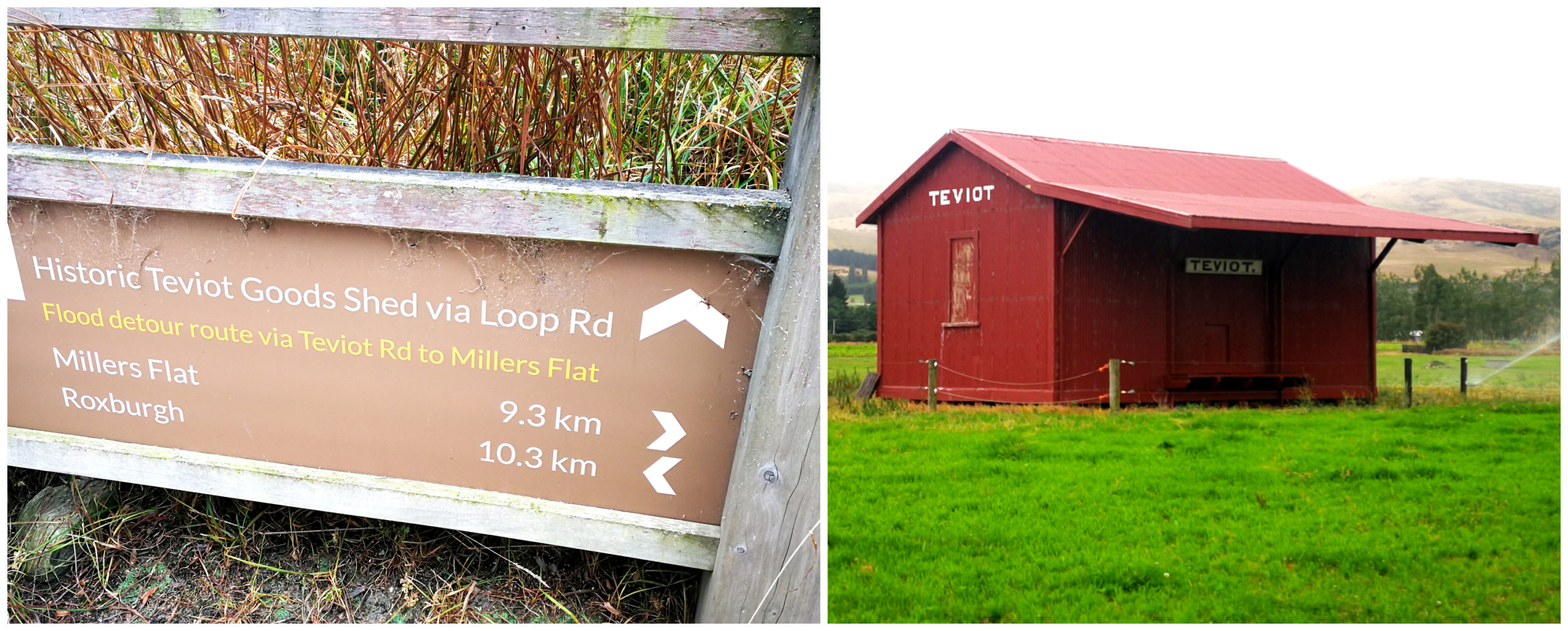
loving the detours along the way, the Teviot Goods Shed
The Roxburgh Branch railway line was built at the beginning of the 1870s and finally finished in 1928. It was closed in 1968 but remnants of the railway relics from the Roxburgh Branch still exist.
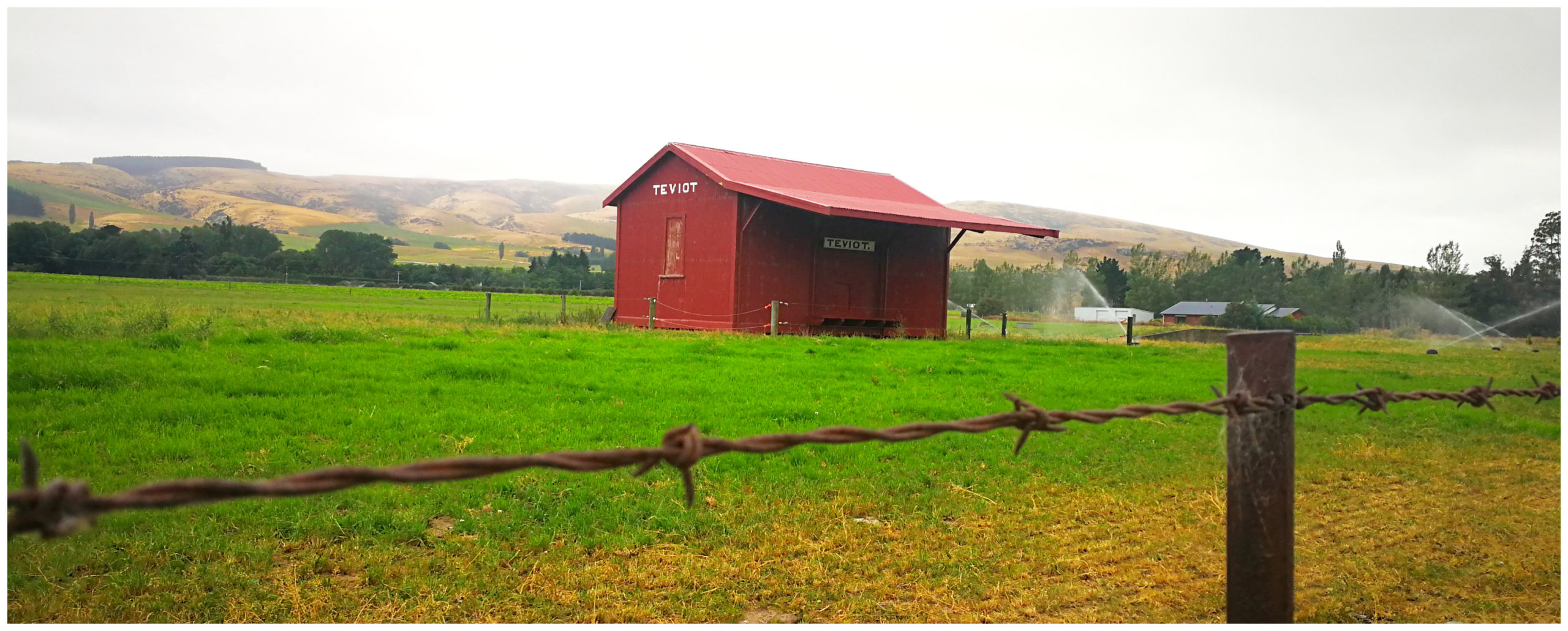
sitting alone in the middle of a farmer’s paddock
One of these relics is the old Goods Shed. It is well preserved and there is a Historic Places Trust plaque explaining its significance to the district.
Pinders Pond
Approximately 15km along the trail from Millers Flat is the popular Pinders Pond (NZMCA#8866). This is another camping option when cycling the trail. It is right beside the track, the river as well as a very attractive small pond.
Pinders Pond is the site of an old dredge hole with a history dating back to the rich gold mining days.
Previously managed by DoC, it is cared for by the Central Otago District Council and is free with a maximum of a 3-night stay.
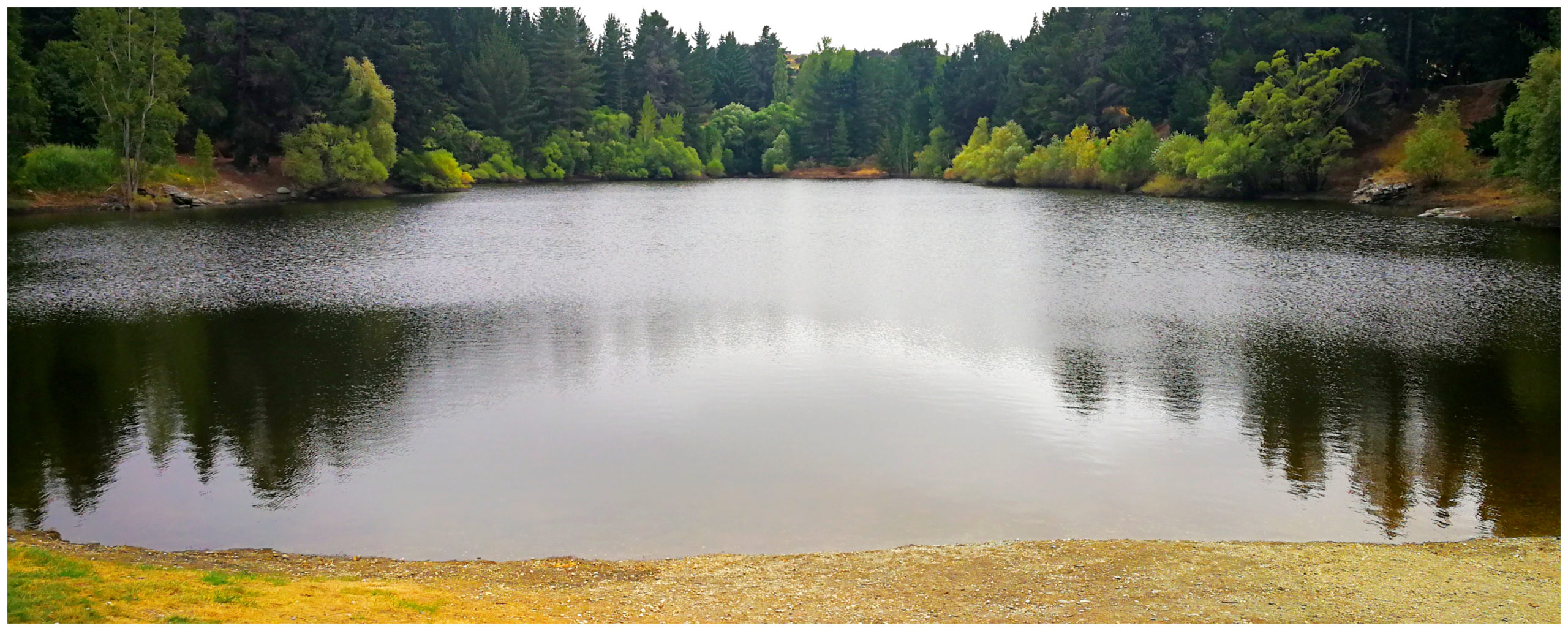
just a bit grey and breezy for a good reflection
As mentioned, this is a very popular swimming and picnic spot so can get quite crowded at peak times during the summer. There can also be a lot of seasonal workers in vans staying overnight. We heard reports that there were over 70 vans some nights during mid-January. There is also only one long-drop toilet for them all to use. Need I say any more?
With all this aside, it looks like a lovely spot to stay and we’ll not hesitate in coming to stay next time we are in the area.
Roxburgh
Back on track and we cycled our way towards Roxburgh.
Roxburgh (which used to be called Teviot, after the valley it is nestled in) is a gorgeous wee town of around 600 residents. Located on the banks of the Clutha River, it is only 40km south of Alexandra. It is well known for its tapestry of orchards. It is one of the country’s most important apple growing regions as well as cherries and apricots. One can also not forget that it’s the home to “Jimmy’s Pies” (Scotty’s absolute favourite).
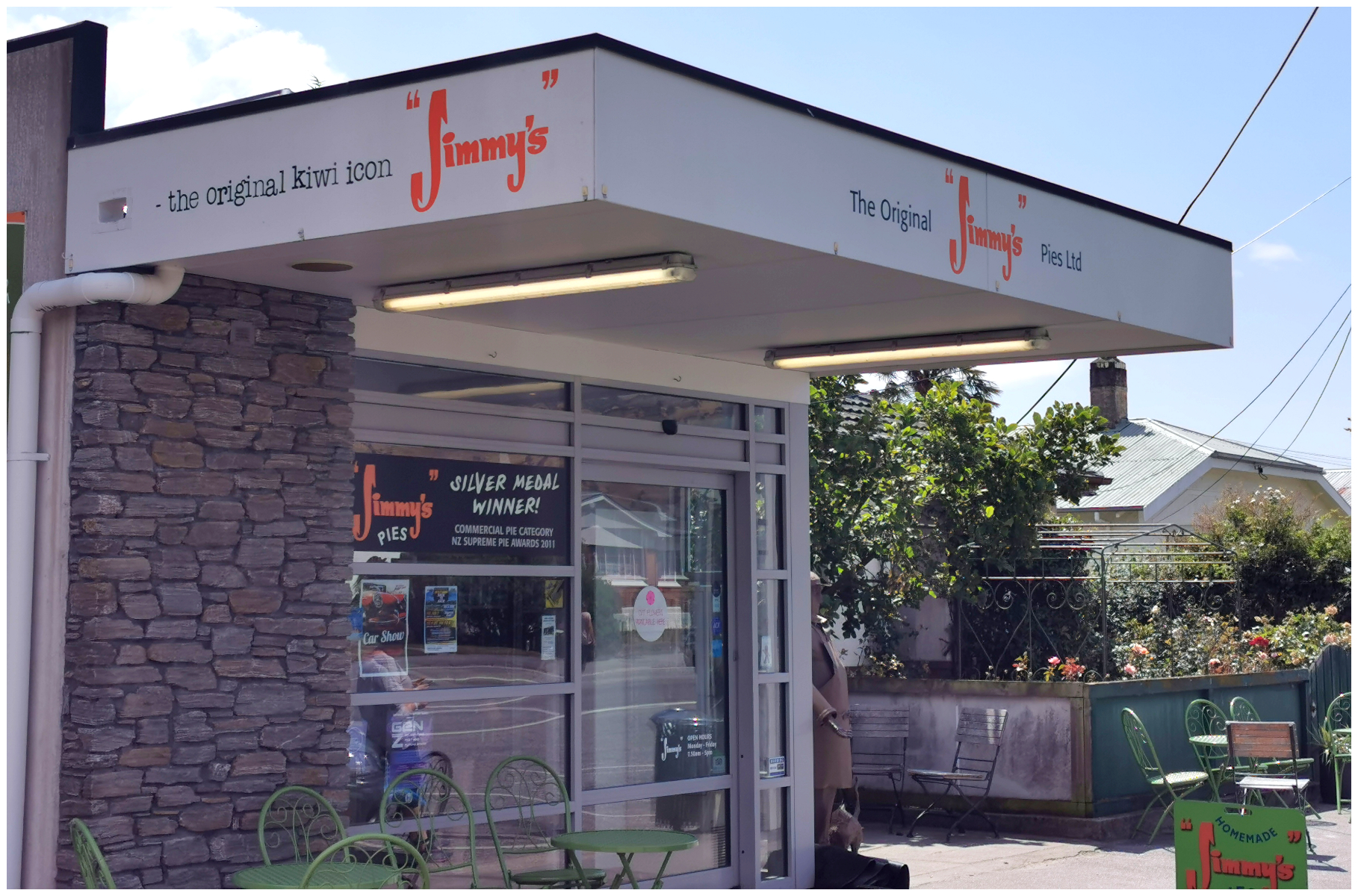
A mandatory ‘Scotty Stop’, Jimmy’s Pies
Roxburgh Township
To get to the town itself, we veered off the trail and crossed the Roxburgh Bridge. The single-span concrete bridge was built in the early 1970s. However, what was more captivating was the original Roxburgh Bridge Piers (1875) and the Roxburgh Bridge Towers (1887). These are easily spotted just beside the existing bridge.
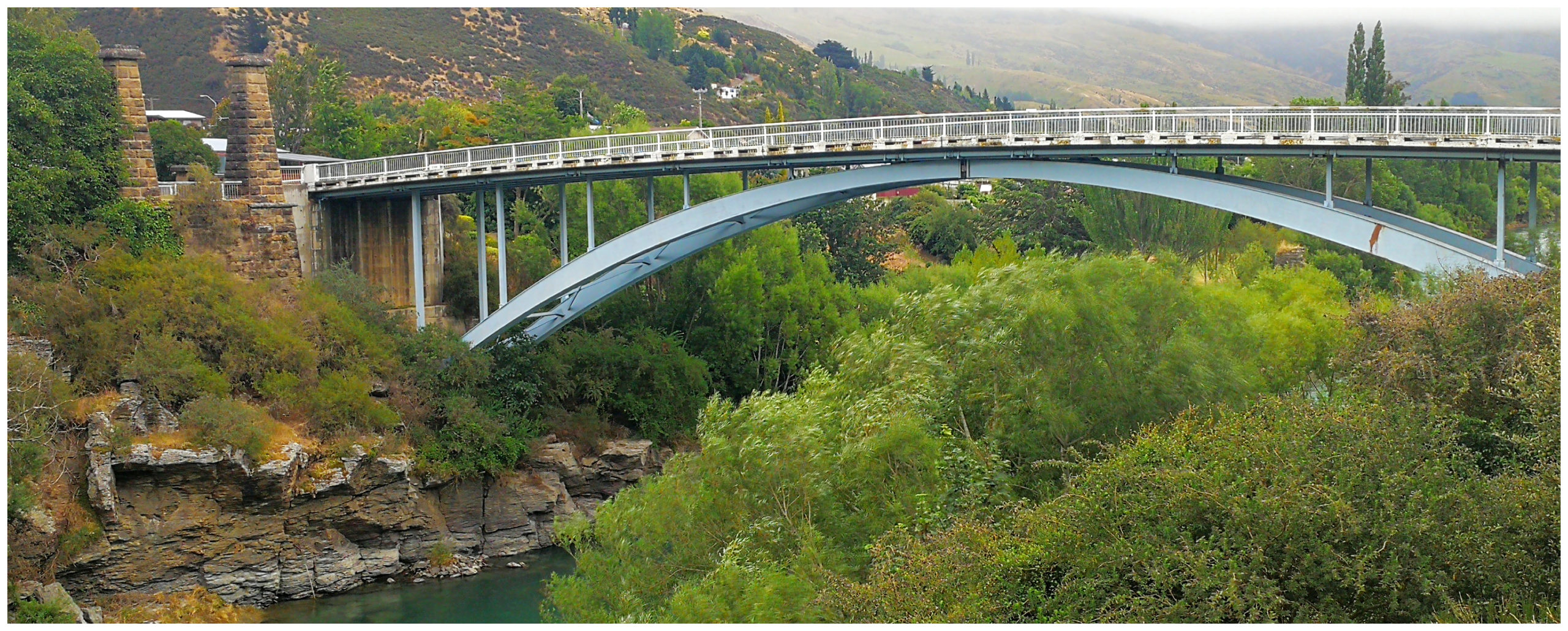
the old and the new, the old bridge pillars and piers are still visible
The village was a destination that we wanted to return to and spend more time wandering the streets. So after cycling the main drag and taking in some cute churches, we decided to head back to Millers Flat basecamp.
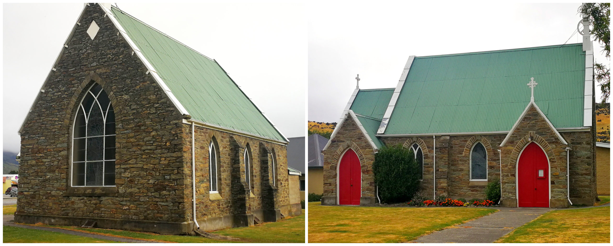
the rest of the village can wait until our next time we come to town
Our round trip for the third day on the Clutha Gold Cycle Trail was 45km.
Unfinished Business
The Clutha Gold Cycle Trail continues at the point of the Roxburgh Bridge where you can cycle a further 9.4km to Commissioner Flat, near the Roxburgh Dam.
We put this on the list of ‘things to do’ along with the Roxburgh Gorge Trail.
We had some life events and places to get to which prevented us from ticking this off the list. By the time we got back to the Roxburgh area, the weather god’s decided that it just wasn’t meant to be as the trails were closed due to massive flooding in the area (more of this in another blog to come).
Click on the video below of some of our stunning highlights of this wonderful trail.
