Winter in the Mackenzie District
Some may think we’re daft heading towards the Mackenzie District during the onset of winter. The winter season in parts of the coldest area in the country is an experience that we didn’t want to miss.
There is just so much to see in the Mackenzie District, in fact, there’s 7,330 sq km of the rugged landscape to explore! We dedicated some time travelling between some of the spots that we wanted to visit. Some days we would only travel 20 km’s to our next campsite. There are also spots that we would like to return to in warmer weather. You do have to take care of which places you visit when there are warnings out for snow and/or ice.
We headed for the Mackenzie District from Geraldine. Click here to read our previous blog on Geraldine.

we were about to get our fair share of snow and ice and YES, Scotty didn’t get into long pants!!
Although the Mackenzie District is one of NZ’s most visited tourism destinations, it only has a small population of around 5,000.
This is the best area to witness some of the most extreme forces of nature which created the Southern Alps. The Mackenzie District is dotted with glacier-fed lakes and clear clean rivers make for a land of many contrasts and truly great beauty.
This blog is all about highlighting the places we stayed while discovering the locations of some of our most unforgettable sights.

dots mark the spot – places we stayed/explored during our Mackenzie District Sojourn
Fairlie/Burkes Pass
Fairlie
If you are travelling south towards the Mackenzie District, you will pass through the eastern gateway township of Fairlie.
The small town of only around 800 residents, it is the quintessential rural NZ town. It has a strong farming and agricultural roots but is a popular stopover for tourism with many walks and bike tracks close by. Also in close proximity are the ski fields of Mt Dobson, Fox Peak and Roundhill.

There is much more to Fairly than ‘pies’ but oh my, it has to be high on the list
However, many travellers know Fairlie for the famous ‘Fairlie Pies’. We had certainly heard the reputation of the pies from the Fairlie Bakehouse. So for purely scientific research, we thought it was only the proper thing to do – that is to partake in a Fairlie pie. I opted for the salmon, bacon and cheese. Scotty was more a Pork Belly kinda guy. The tasty filling was encased in the perfect flaky pastry case and they were both as good as what we had read and heard about.
Burkes Pass
Not far past Fairlie on SH8 (before Lake Tekapo) you come across Burkes Pass. This wee township was settled by Europeans in 1855 to service farmers and shepherds en route to vast inland plains to graze their sheep.
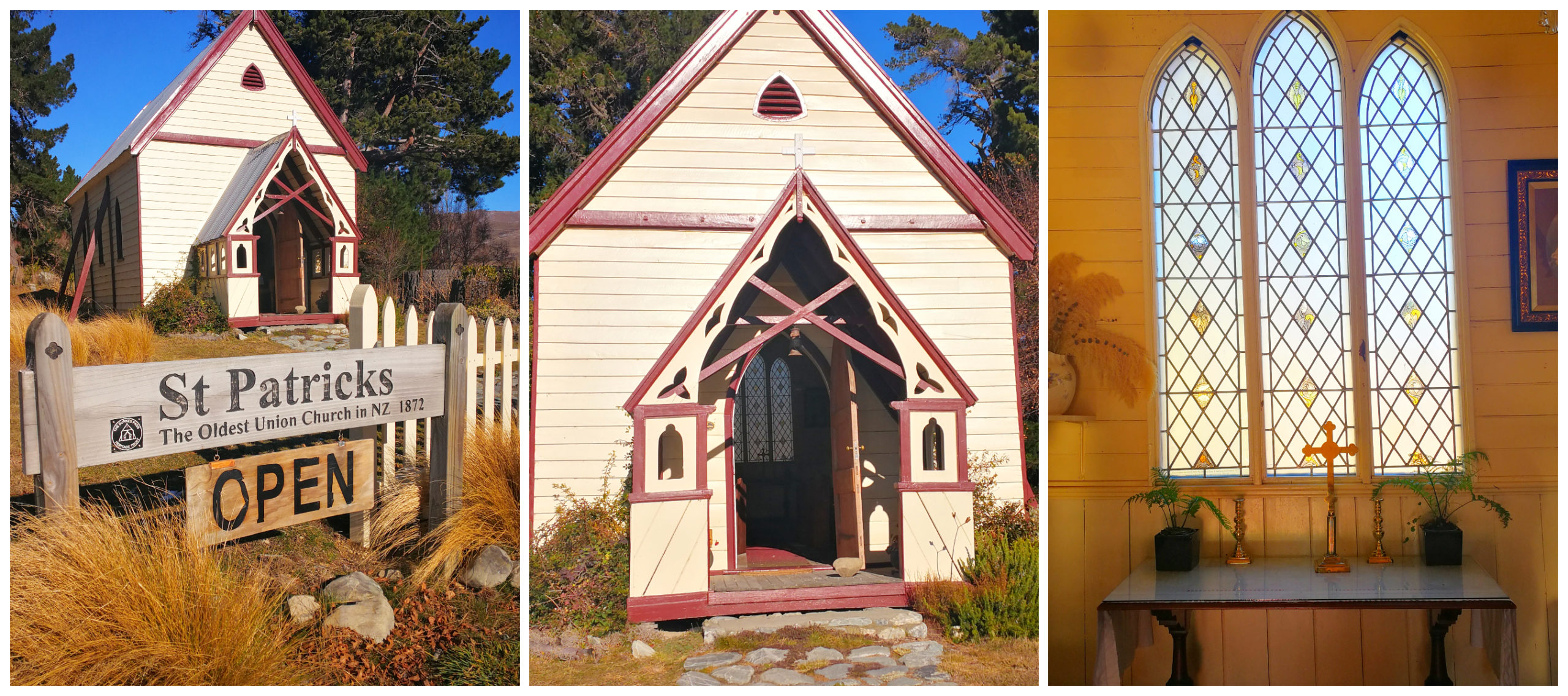
the oldest Union Church in NZ
We stopped off at St Patrick’s Church, built by the early pioneers in 1872. It is the oldest union church in NZ and is still on its original site. We also wandered around the cemetery, reading some of the epitaphs on the headstone. Some told the story of how life was back in the late 1800s and the hard life these settlers lived.
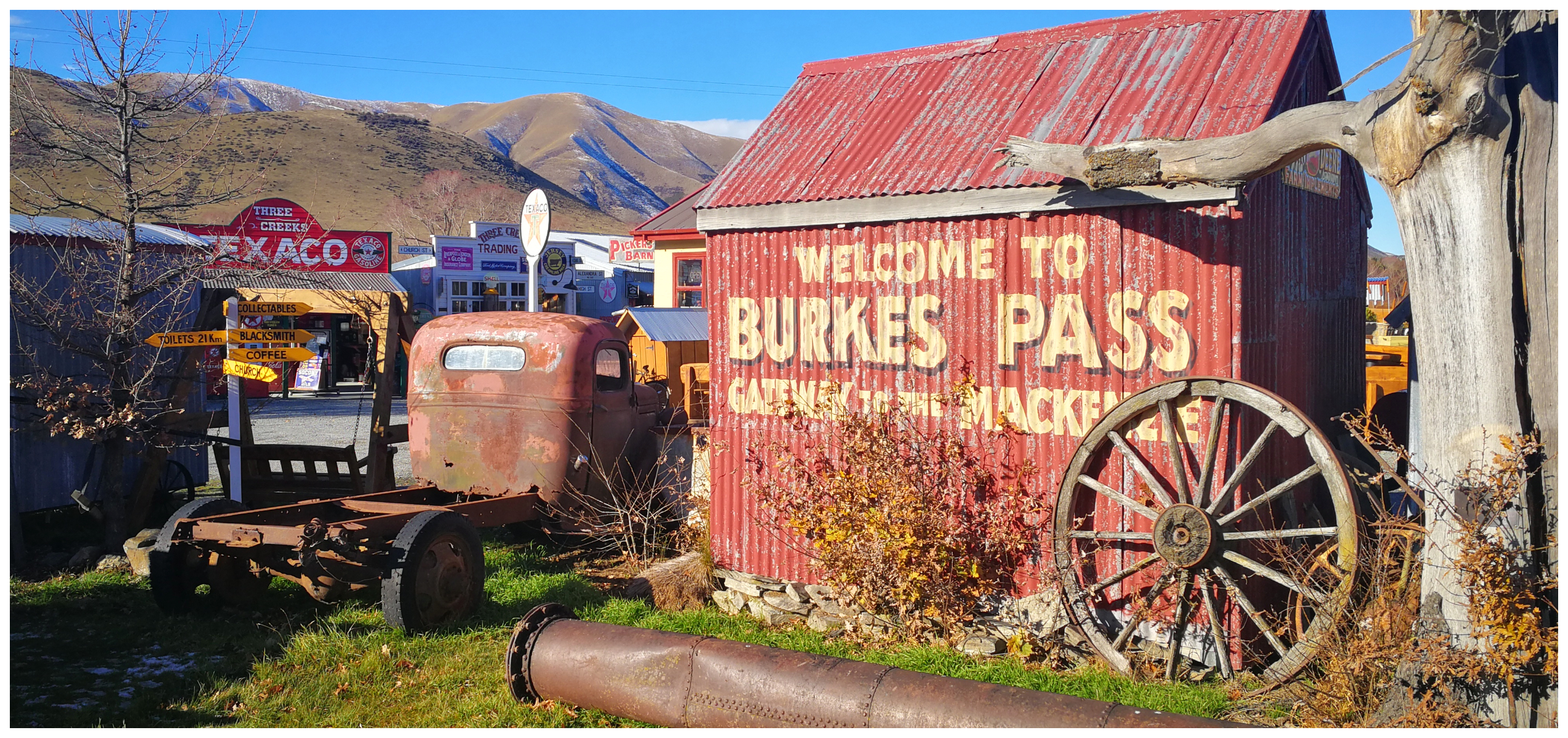
you can’t miss this roadside attraction in Burkes Pass
A ‘must-see’ in Burkes Pass is an establishment called Three Creeks. I can only describe it as retro collector heaven. There were all sorts of collectables, artwork, furniture along with a small cafe. There are mock-ups of old shops, garages and a general store surrounded by classic cars, a 1950s service station and a heap of memorabilia.
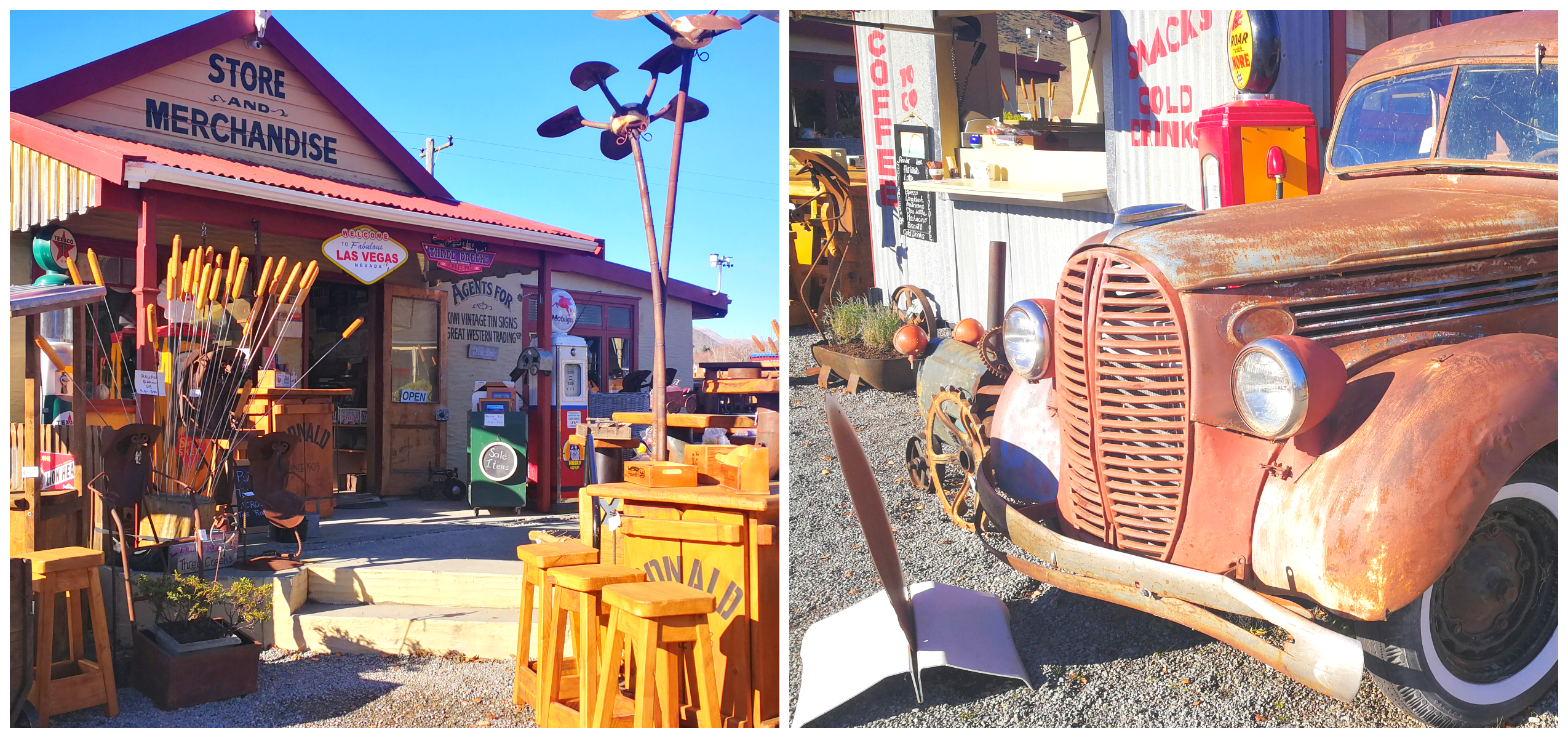
as you can imagine, I did spend quite some time wandering around all the odds and sods in the shop
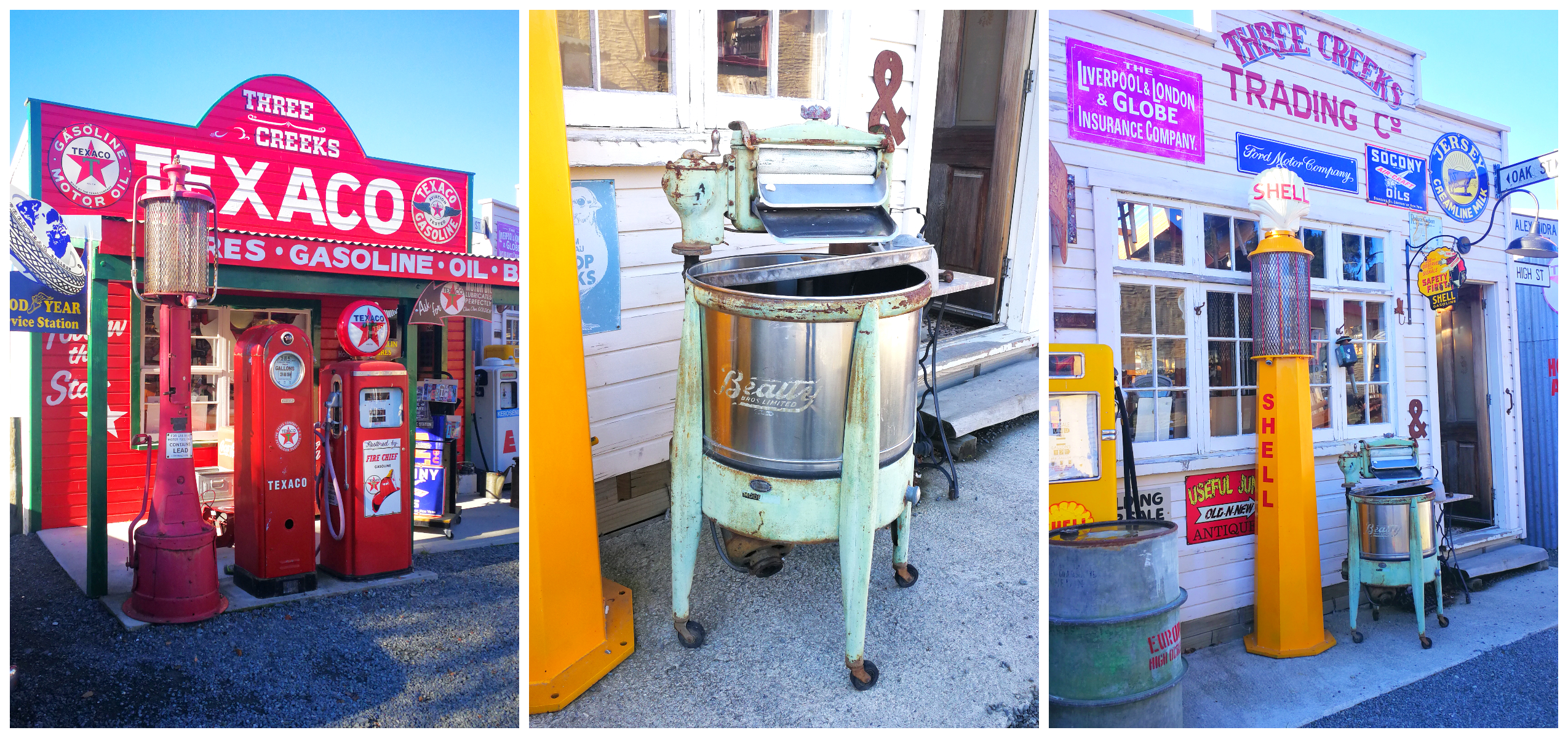
some of the displays around the property – so much to see!
Lake Pukaki
Taking the Long Way
Located a 30-minute drive from Lake Tekapo village, you come across Lake Pukaki – that is if you go via the main state highway. Always loving the long way to a destination, we diverted off and took Braemar Road to our next campsite on the shores of Lake Pukaki.
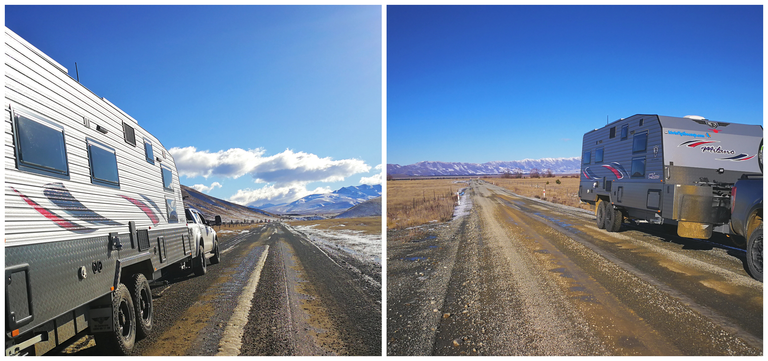
time to get dirty, but with extra care, the road is quite manageable
The turnoff on to Braemar Rd from SH8 is just before the Tekapo Military Camp. You pass over a cattle stop and continue to drive past some big sheep stations. It is a shingle road so a certain amount of extra care is needed but the surface is in good condition and manageable for most rigs.
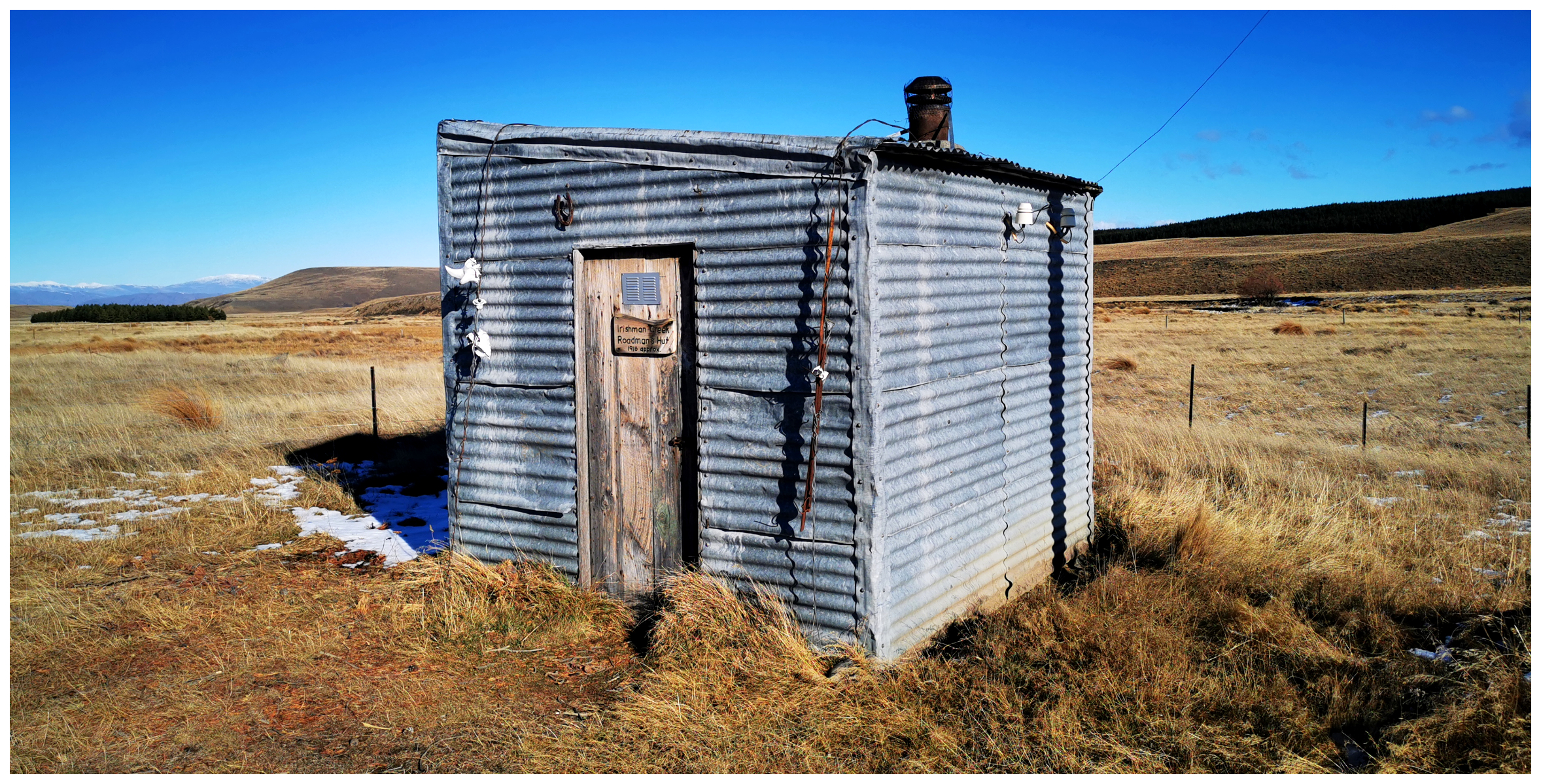
cute 2 bunk Irishman Creek Roadman’s Hut, also known as the ‘Telephone Hut’
Artists and photographers flock to this backroad to Twizel as the road is predominately empty and the scenery is fantastic. In December, the road will be flanked by lupins but during the winter, we were blessed with snow-capped mountain tops instead.
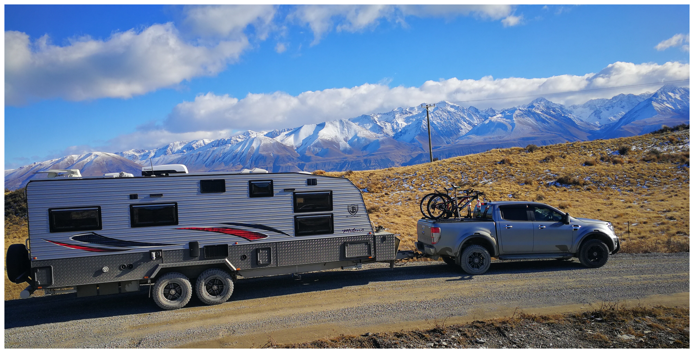
at the summit of the climb before descending towards Lake Pukaki
Climbing to the highest point of Braemar Rd, you can catch your first views of Aoraki and Mt Tasman before dropping down to Hayman Rd and the eastern shores of Lake Pukaki. Watch out for cyclists as the A2O cycleway joins up at this point.
Largest Lake
Lake Pukaki is the largest lake in the Mackenzie District and it covers a whopping 176 sq km. Like a standing ovation at its far end is the magnificent Aoraki (Mt Cook). We were so lucky to have some stunning views as quite often it is shrouded in cloud or mist, obscuring its double peak top.
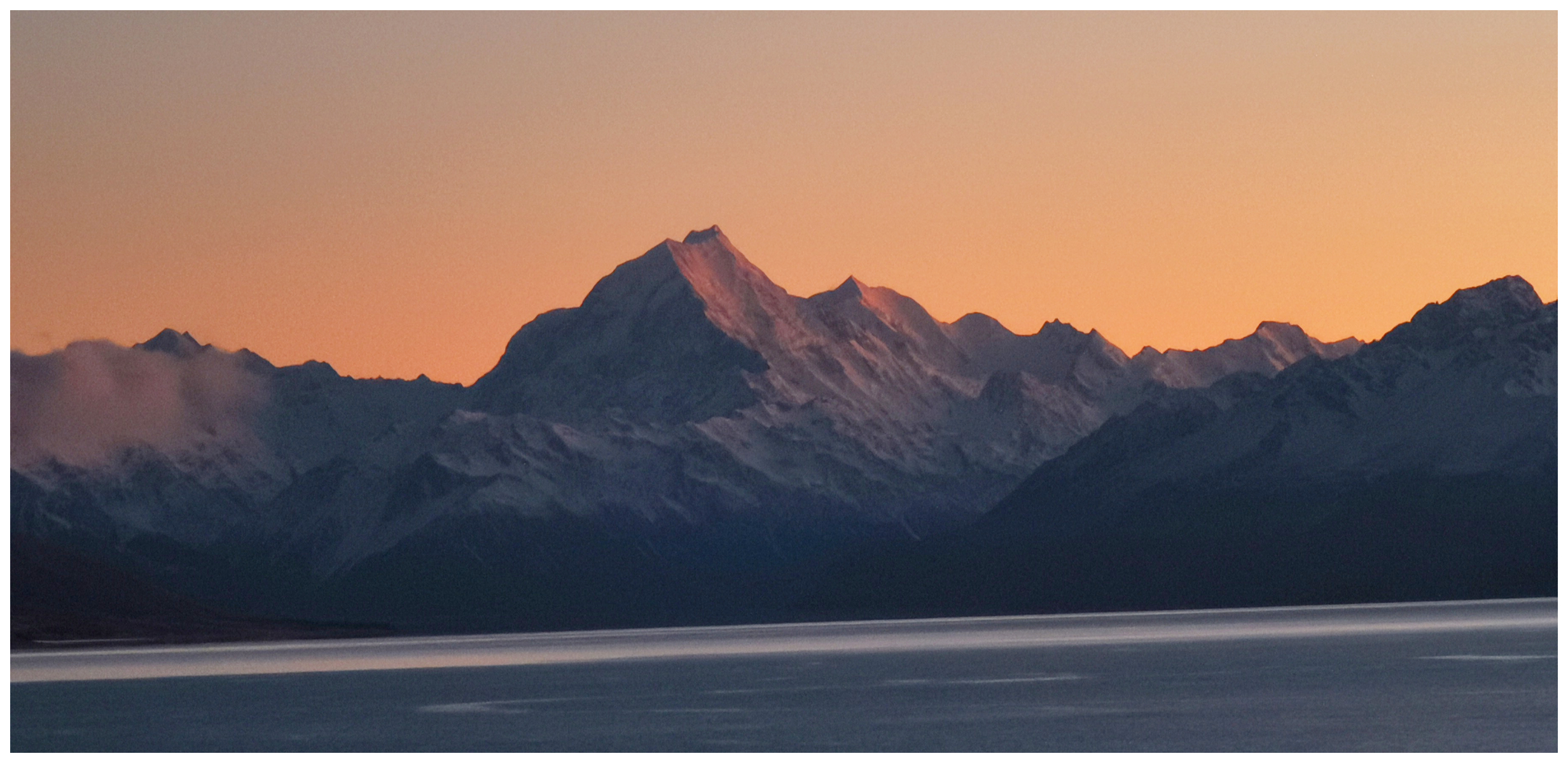
it’s mesmerising watching the sunrise over Aoraki
The is a no better view of Lake Pukaki than when the sun is shining on its glittering waters. The colour is transfixing, a brilliant turquoise blue which is caused by ‘glacial flour’ particles suspended in the water.
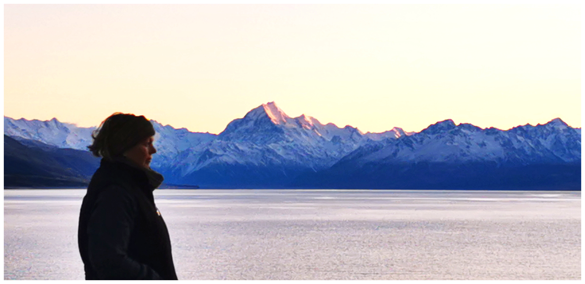
yup, I spent a lot of time staring out at the view
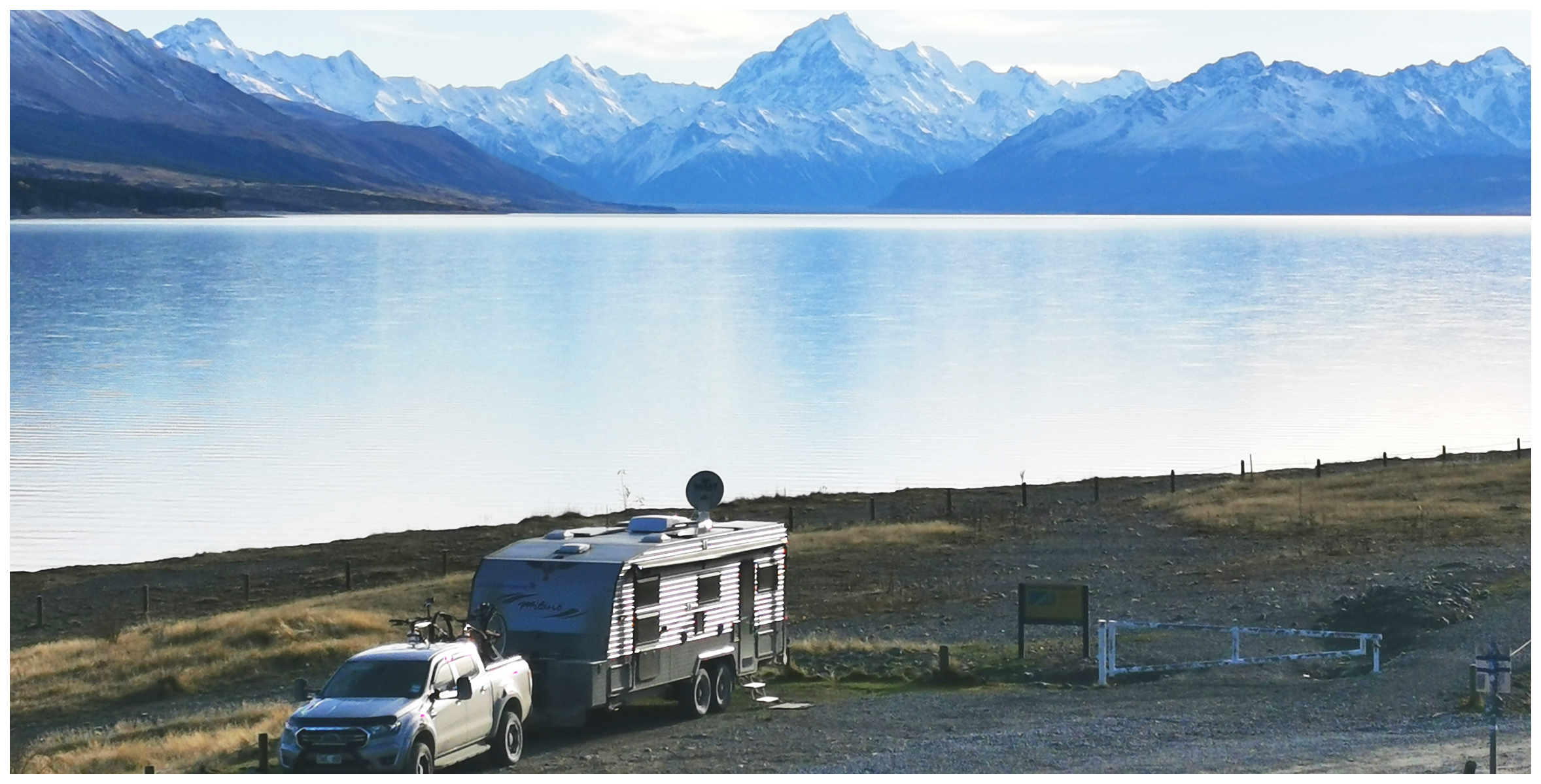
our 1st camping spot, close to the shoreline
To take in these startling views, we stopped off at a large freedom camping spot at Lake Pukaki Car Park. It is a very popular stop, especially for the smaller vans, even though our borders are still closed.
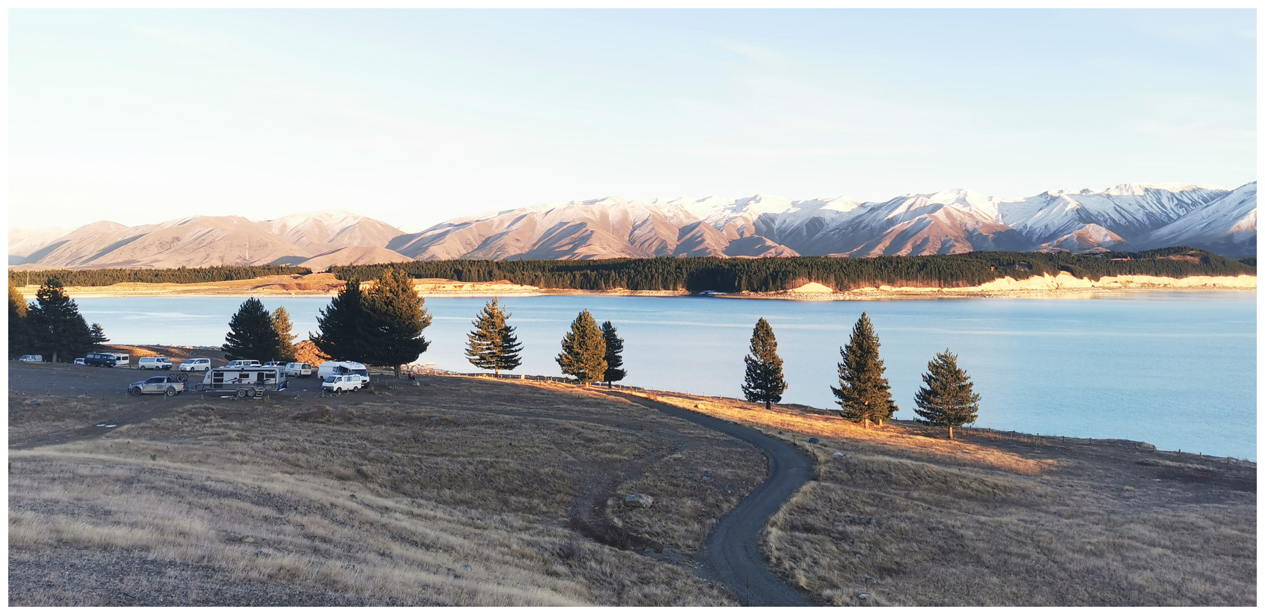
our second camping spot the following day – and an attractive option for van-loving campers
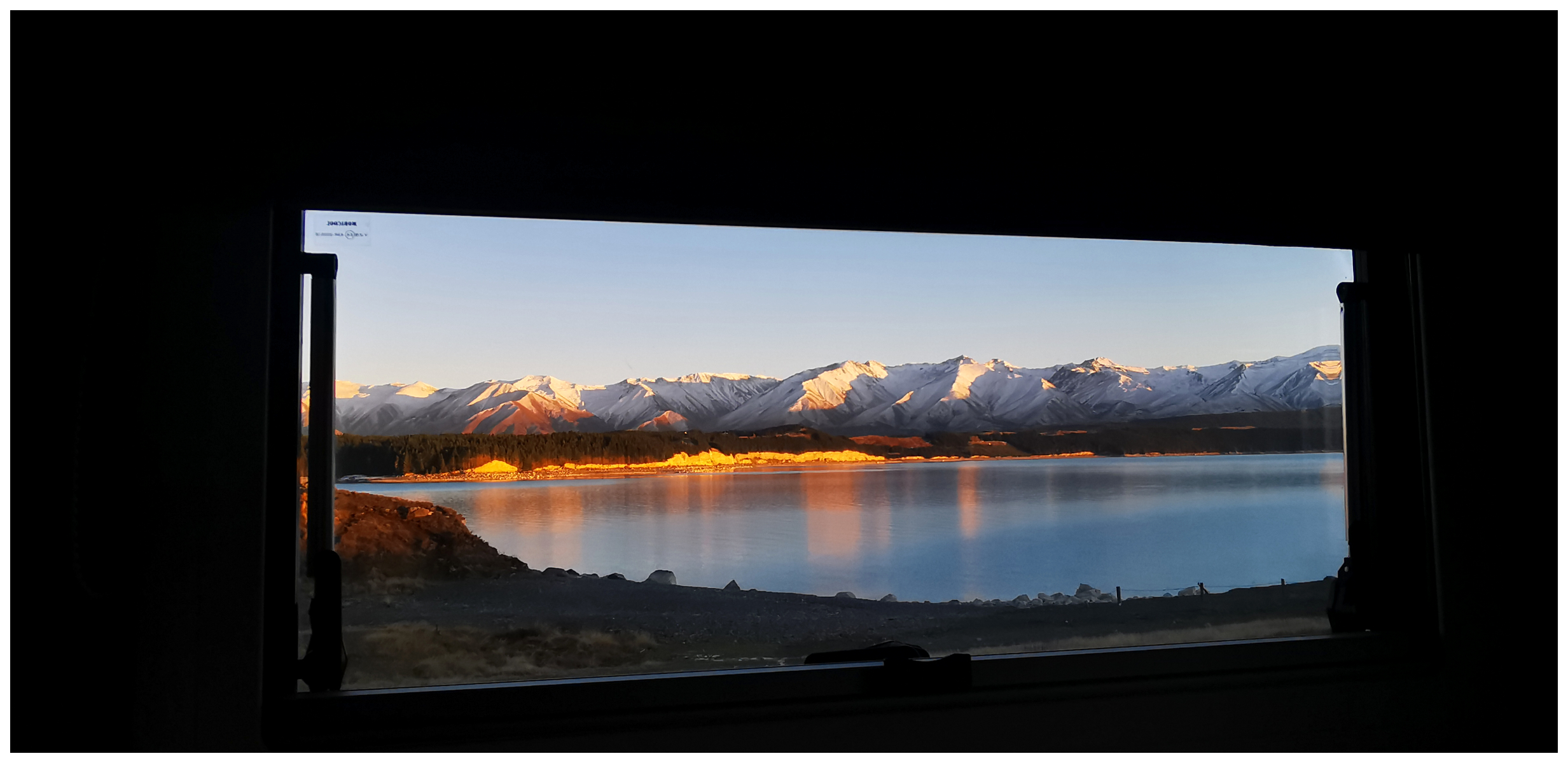
and whatta view out our lounge window!
It soon turned into ‘van city’ with clearly still a lot of foreign tourists travelling our roads. We also met up with some Kiwi locals making use of the cheap rental campers and experiencing this way of travelling for the first time. It was great to hear their stories and how much they were enjoying it.
Click on the link below for some highlights of our two-night stay at Lake Pukaki.
Lake Ruataniwha
Lake Ruataniwha lies 2 km to the north of Twizel. It’s 4.5km long and was artificially formed in 1977-81 to maintain levels for a canal leading to Ohau B & C Power Stations.
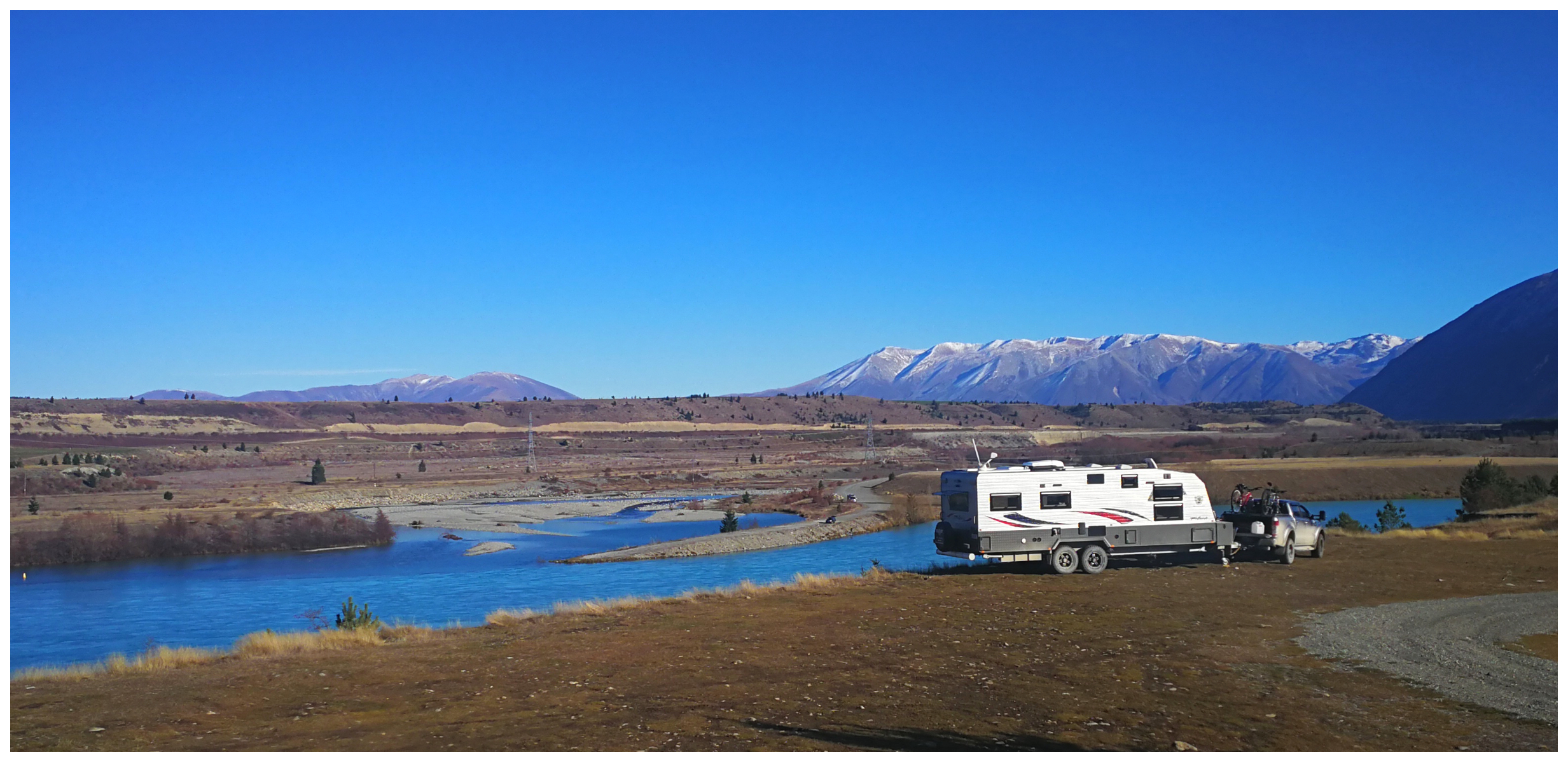
another grandstand spot for the night
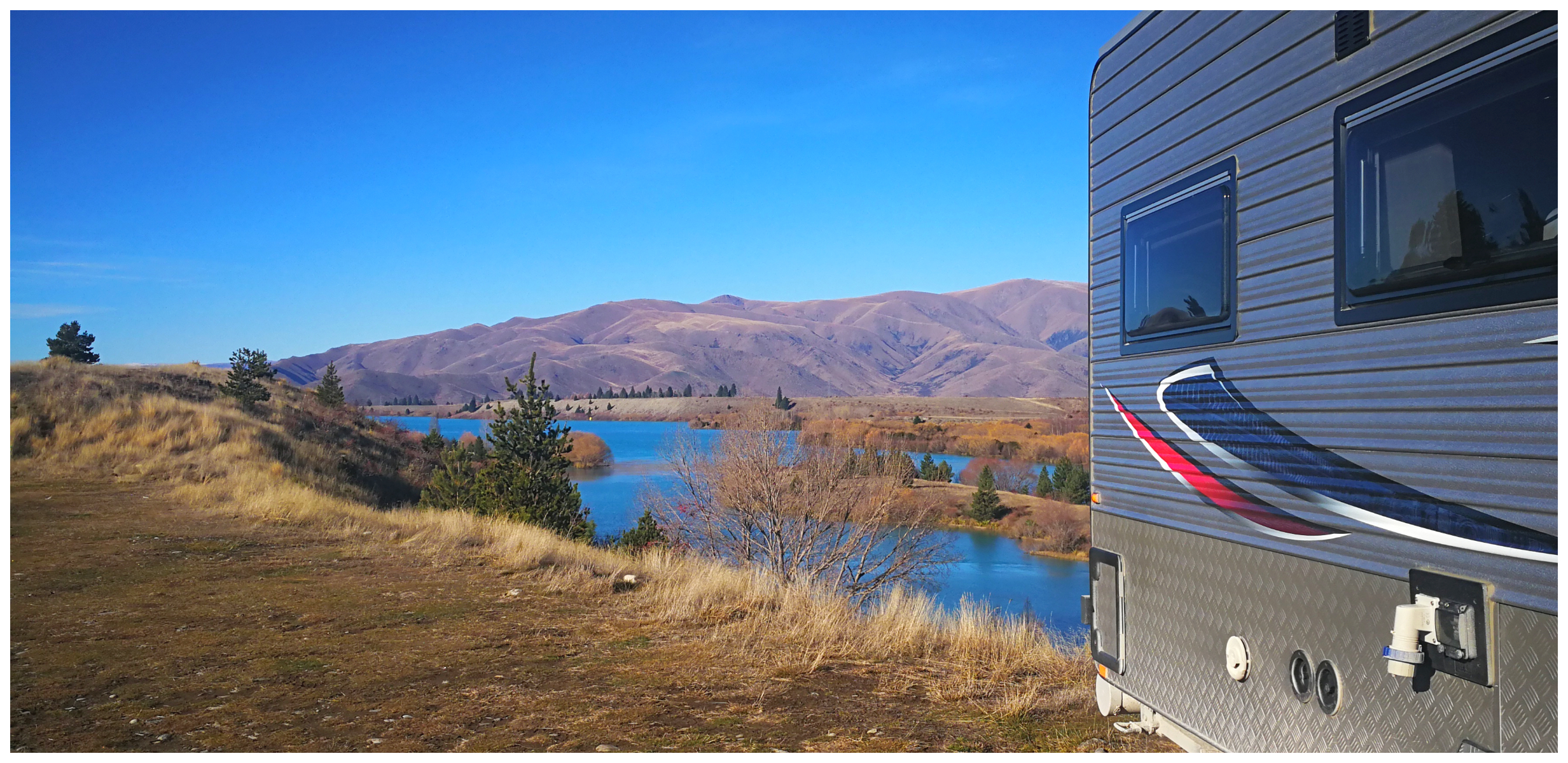
views from every angle over Lake Ruataniwha
There is a commercial camping ground located on the shores of the lake but we headed further along the road to a large freedom camping area. This spot is set high on the hill and offers spectacular views towards the Benmore Range. We were so fortunate to have great weather as with any spot with a panoramic view it is exposed to winds.
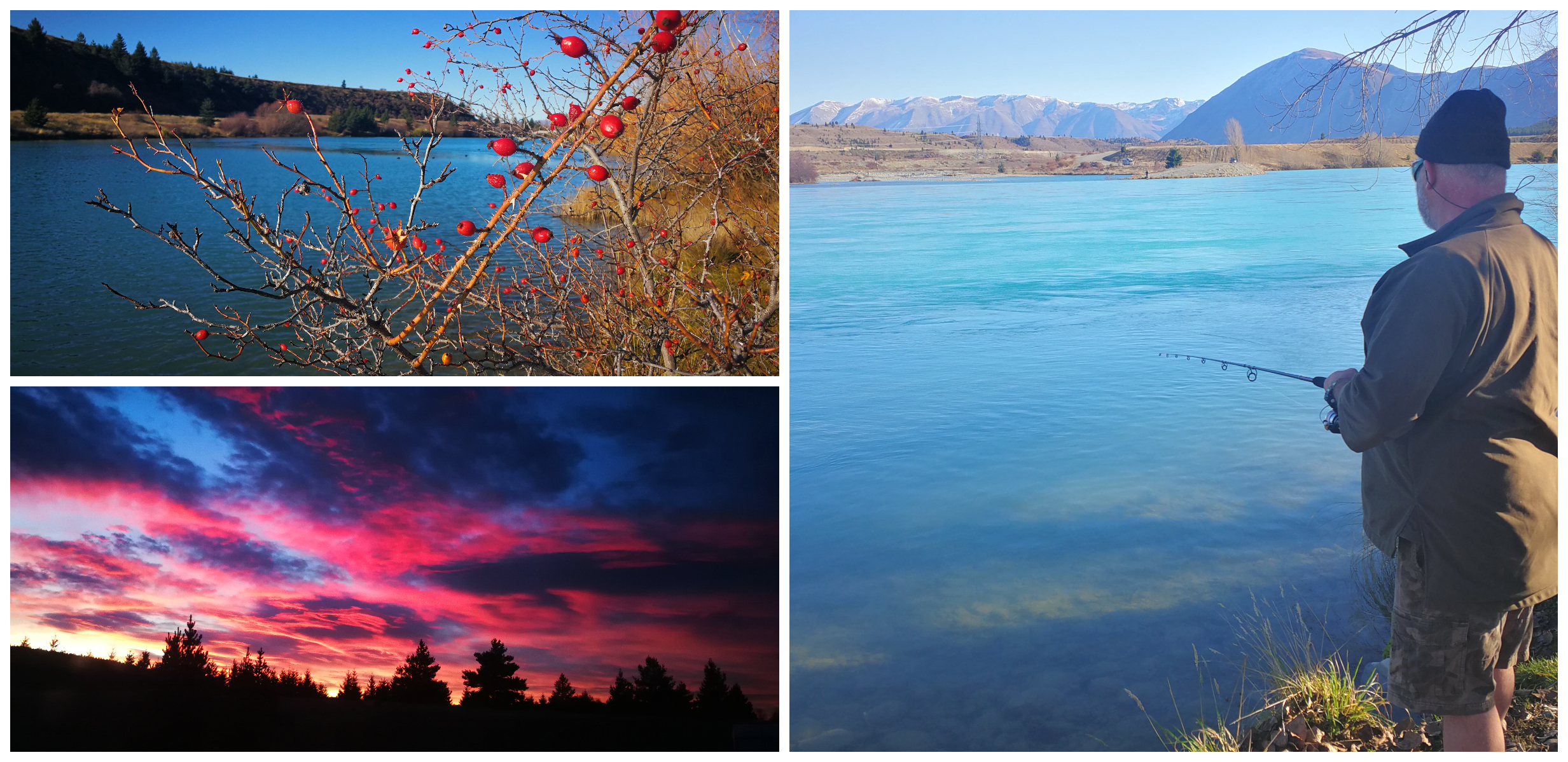
our wander down to the lake resulted in no fish and the sunrise we were treated to the next morning
We wandered down to the shores of the lake to drop in a line, but the fish won on the day.
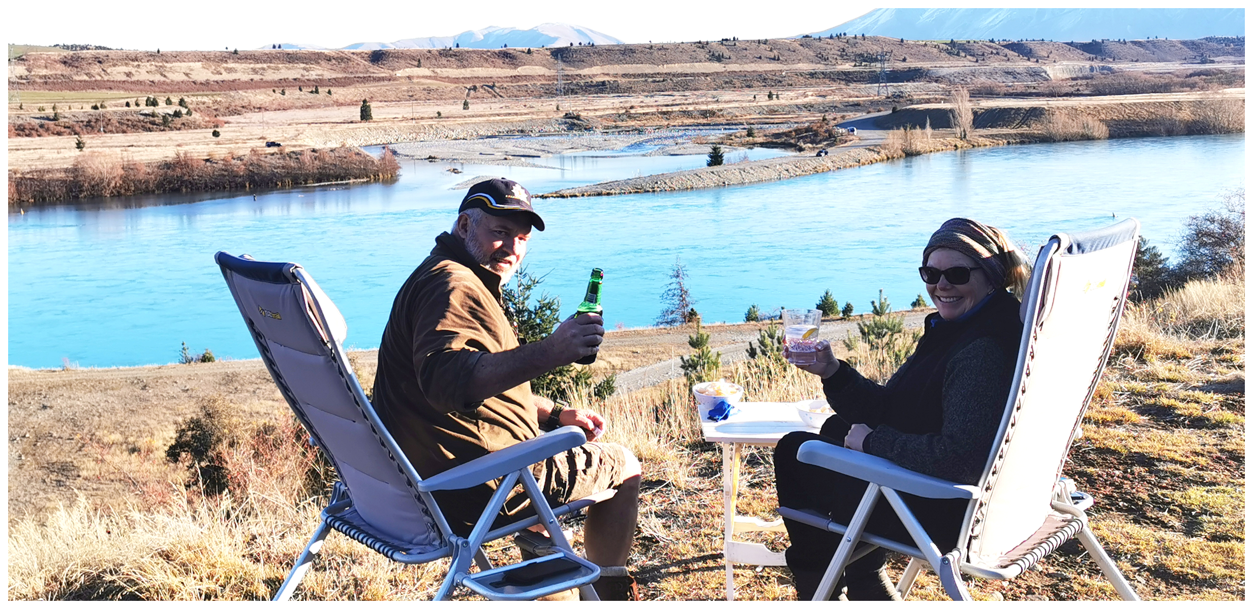
the perfect happy hour spot – cheers
Ohau B Canal
If you want to split hairs, Ohau B Canal is theoretically in the Waitaki District, not Mackenzie. We were located just on the other side of the Waitaki District sign although it is only 4 minutes from Twizel.
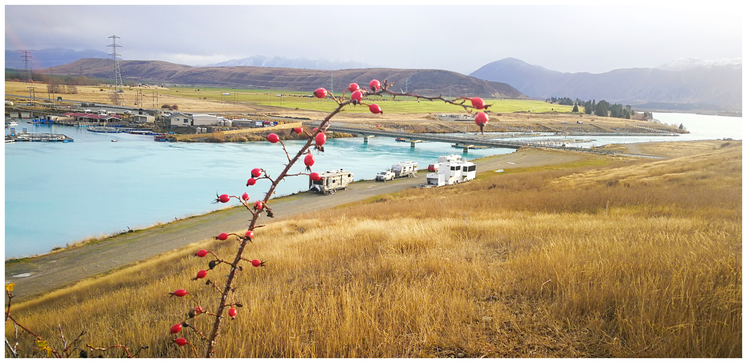
the NZMCA parking available on the banks of Ohau B canal
Water from Lake Ruataniwha flows through Ohau B, then goes to Ohau C canal, which in turn, takes it to the Ohau C Power Station and out into Lake Benmore.
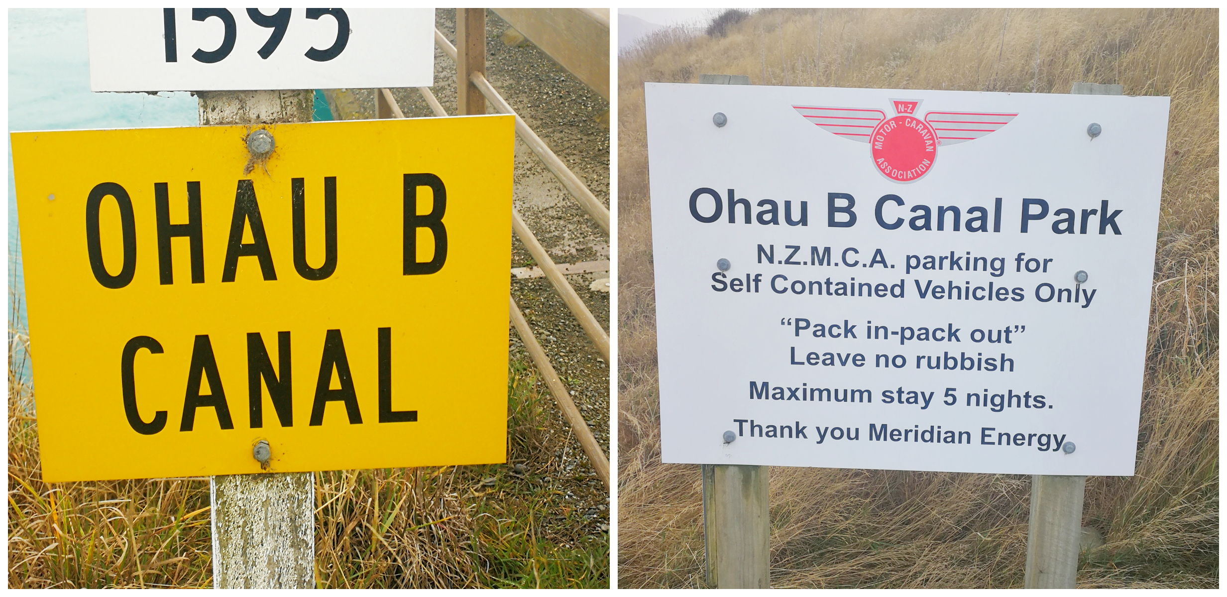
follow the signage to the parking area
Beside Ohau B canal is an NZMCA Park. We decided that this would be a great opportunity to try our luck at catching some salmon as it is conveniently located opposite a couple of commercial salmon farms. There is the odd escapee that finds freedom in the canals so surely one would be able to find our hook.
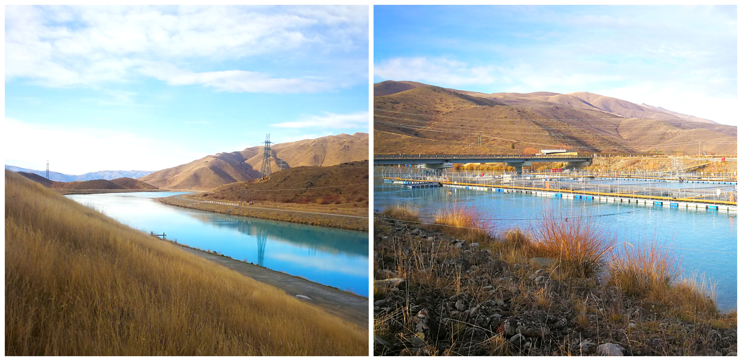
the beautiful colour of the canals and the salmon farms across the way
Okay, I have to confess, after a day of trying, I did have to do the ‘walk of shame’ across the bridge to purchase a fillet from the salmon farm. I hung my head in shame as I returned carrying my small brown paper bag.
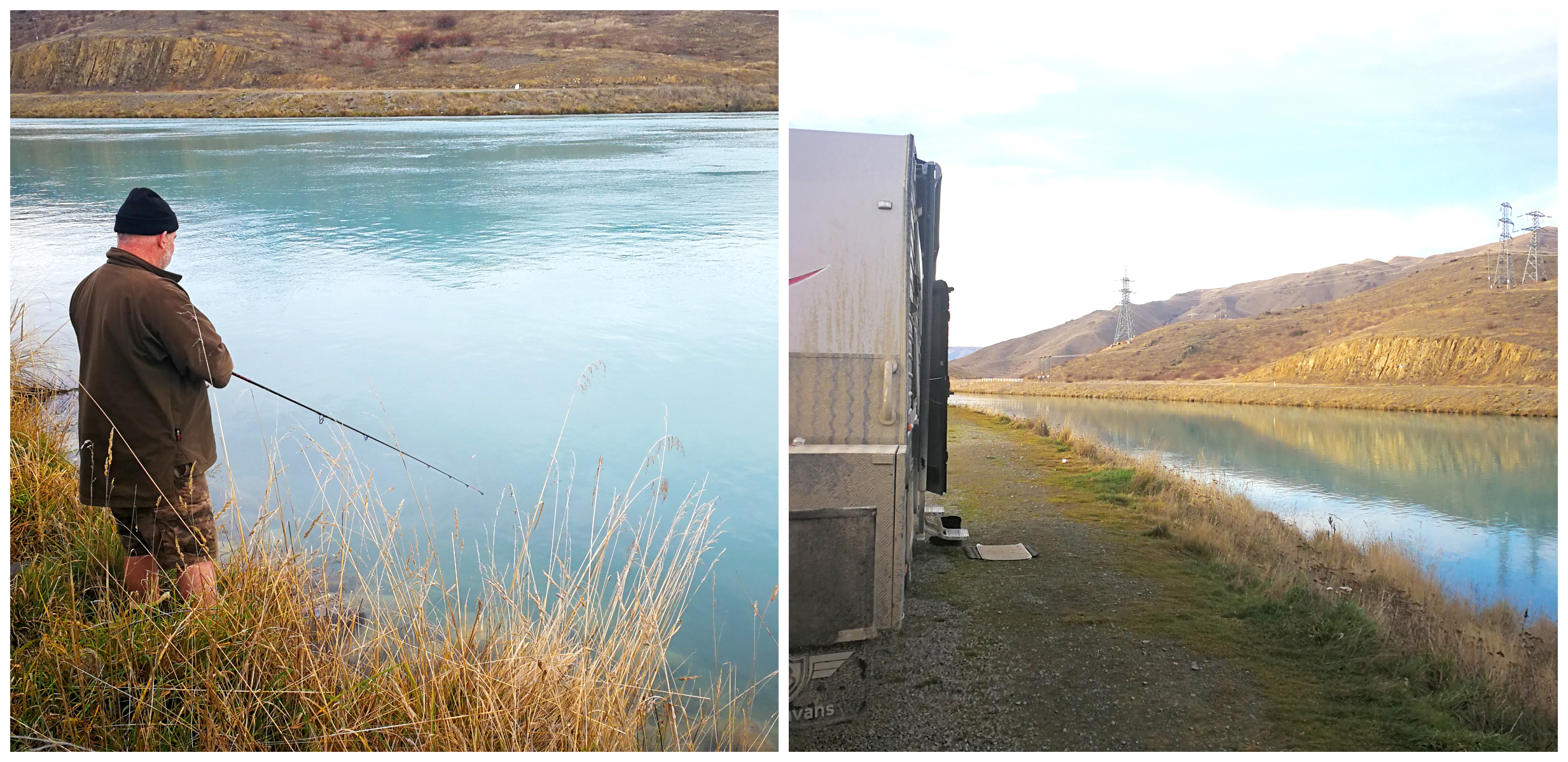
we may not have been successful with the fishing but we felt very fortunate to have some spectacular views whilst trying!!
After a few more days of trying without any luck, some of our neighbours took pity on us and donated a few fillets for the frying pan. We gratefully accepted their generosity.
Yes, we have another video of the highlights of our time spent at Lake Ruataniwha and Ohau B Canal.
Twizel
A Construction Town
Twizel isn’t what you would call a historical town. It is relatively young as it was established as a construction town in 1968. It was to act as a service and residential base for the Waitaki hydroelectric power scheme. Currently, the population is approximately 1,200 people but it peaked at 5,700 in 1977.
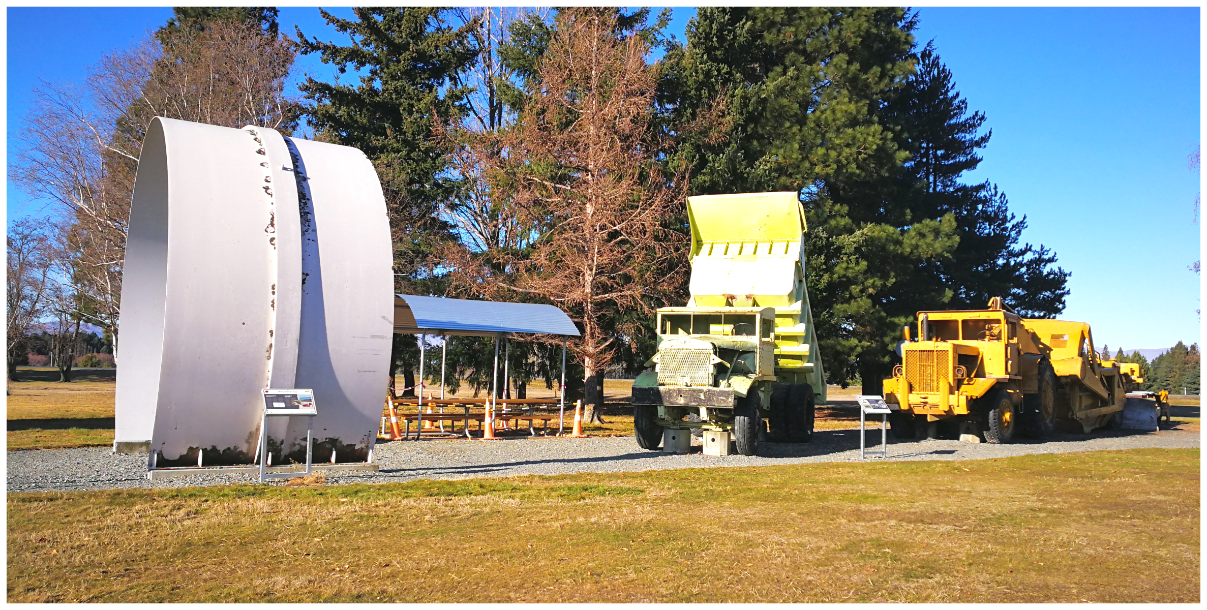
The town of Twizel was purpose-built in the 1960s to provide a home for workers involved with the Upper Waitaki Power Scheme, a display of some of the machinery used during construction of the scheme
The hydroelectric scheme was the largest in the southern hemisphere, employing up to 1,500 workers and a massive earthmoving fleet. Twizel was destined to be demolished when the project was completed, but residents successfully fought the authorities to save the town.
Today, it is somewhat an alpine retreat and a recreational haven surrounded by 5 lakes and rivers, nestled below towering mountains. It attracts a huge range of sporting, leisure and adventure buffs. It is renown as a fisherman’s paradise with an abundance of salmon, brown and rainbow trout (except when we have our line in the water).
The Big Freeze
The weather warnings were coming in during the week. The big freeze was on its way and there was talk of the temperature dropping as low as -15 degrees. Now we are set up for freezing temperatures but then if there is another more luxury option it was smart to take it.
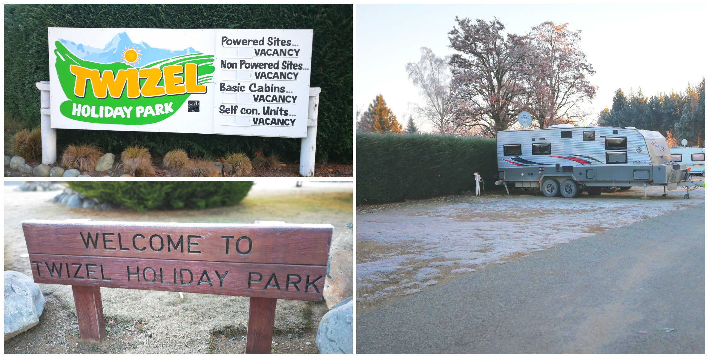
our luxury escape during the deep freeze
We booked a power site at the Twizel Holiday Park for 3 nights (NZMCA#8092). The NZMCA has a Campsaver Scheme where camping grounds offer members a powered site for two adults at $20 per night. We enjoyed some long hot showers and of course, the laundry was certainly appreciated.
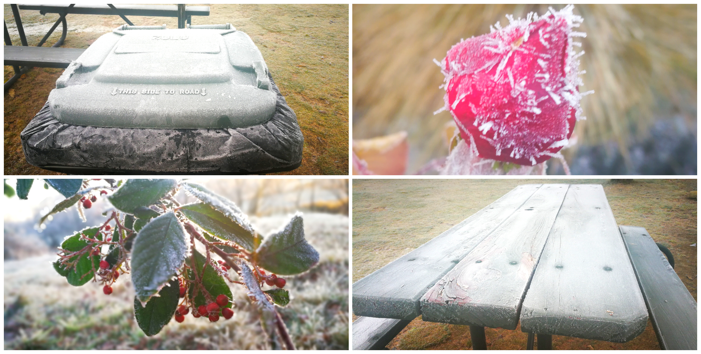
the wheelie bin, picnic tables and shrubbery not immune to the sub-zero temperatures
Our weather app didn’t quite record it as low as -15 but we did get down to a balmy -10.
Aoraki (Mt Cook)
We took the opportunity to do a day trip from Twizel to drive along the shores of Lake Pukaki to Mt Cook Village at the base of Aoraki, (NZ’s tallest mountain).
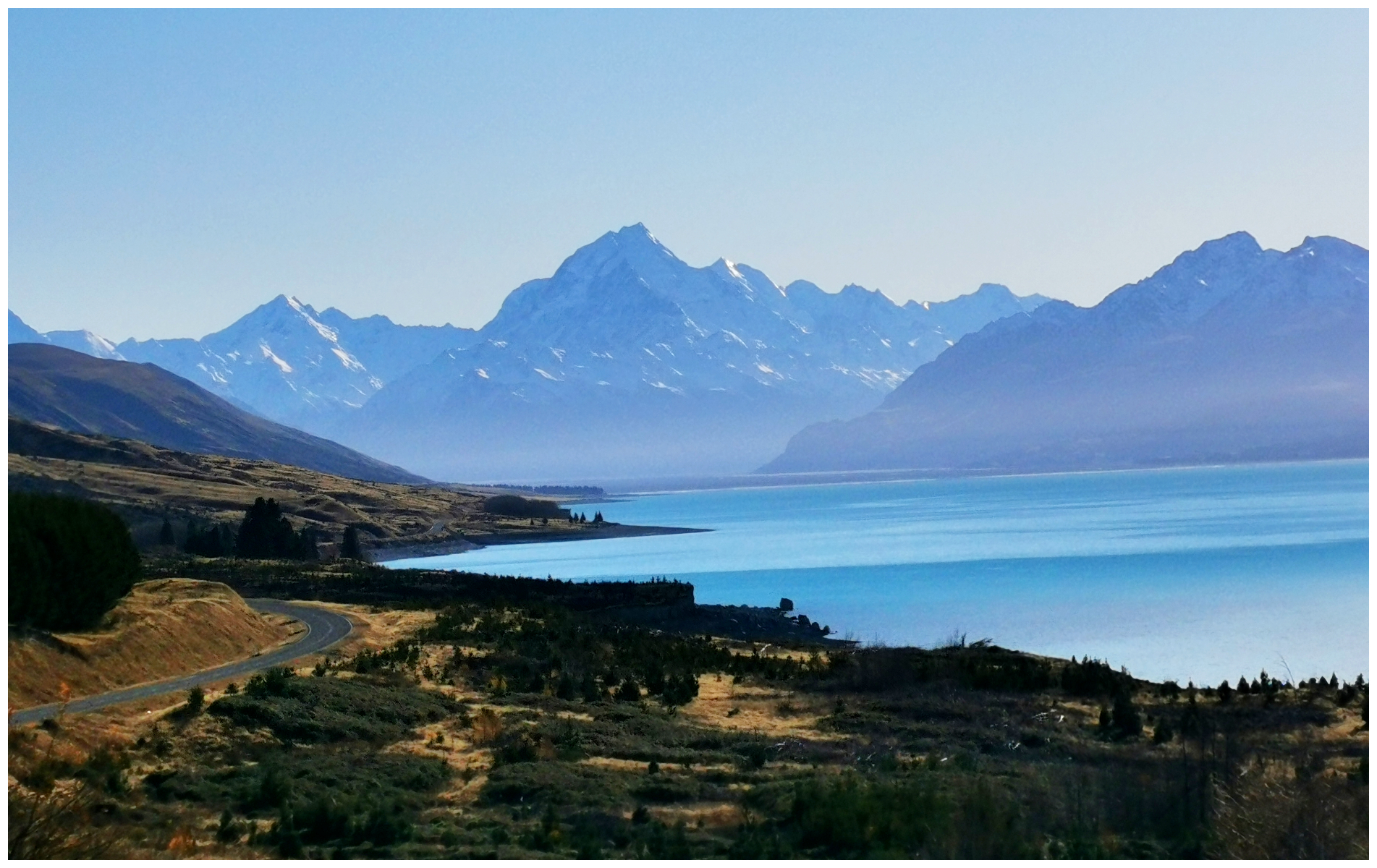
it’s not just about the destination, it can be about the journey, especially with views like this along the way
Located 65km from Twizel, Mt Cook Village is located inside a National Park. Because of this, it is not possible to own property there. All the buildings and facilities operate on concessions and leases from the government.
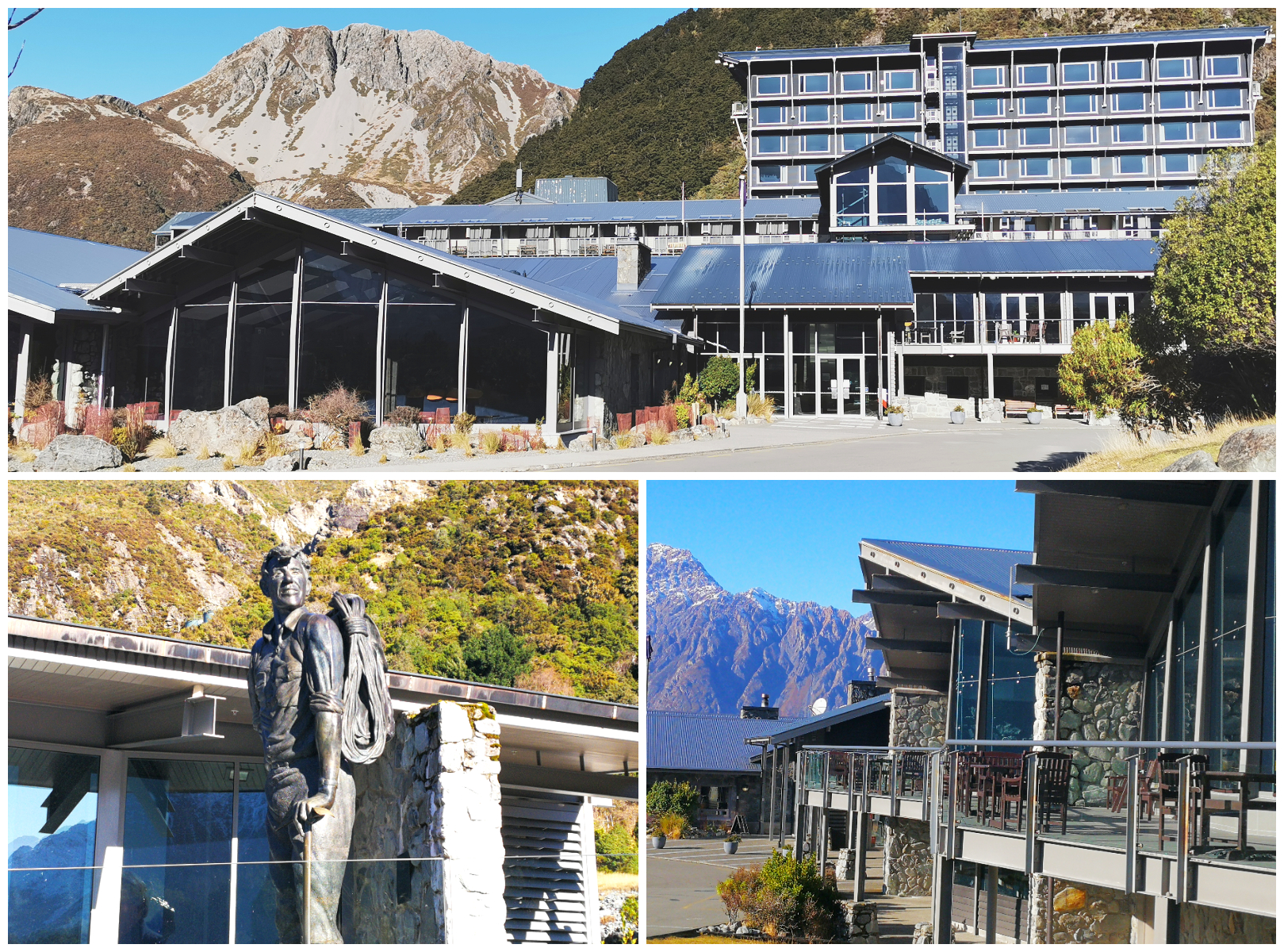
a very deserted Hermitage Hotel and their Sir Edmond Hilary statue
It had been over 20 years since we were last in the area, back when the Hermitage Hotel was heaving at the seams, overflowing with coach loads of tourists. What a difference COVID-19 has made, like many of the top tourist spots in the country. It felt so surreal to wander the grounds of the hotel with only the odd car passing and the workers who are still on-site to keep it running while ‘mothballed’. Waiting for busy times to start up again.
We drove in to see what the White Horse Hill DoC (NZMCA#8077) camping ground was like, in case we wanted to return in the warmer weather. This is an ideal base to explore the Hooker Valley Walk, which I’ve heard is one of the ‘not to be missed’ hikes.
There were a surprising amount of vehicles parked there so it is a very popular walk and one for the list in the future.
Blue Lakes & Tasman Glacier Walk
We diverted off the main road and drove to the start of the Blue Lakes and Tasman Glacier Walk. A one-hour return track is predominantly stairs so be prepared for a bit of a climb. The puddles were iced up as were the edges of the wooden steps so extra care is needed in the winter months.
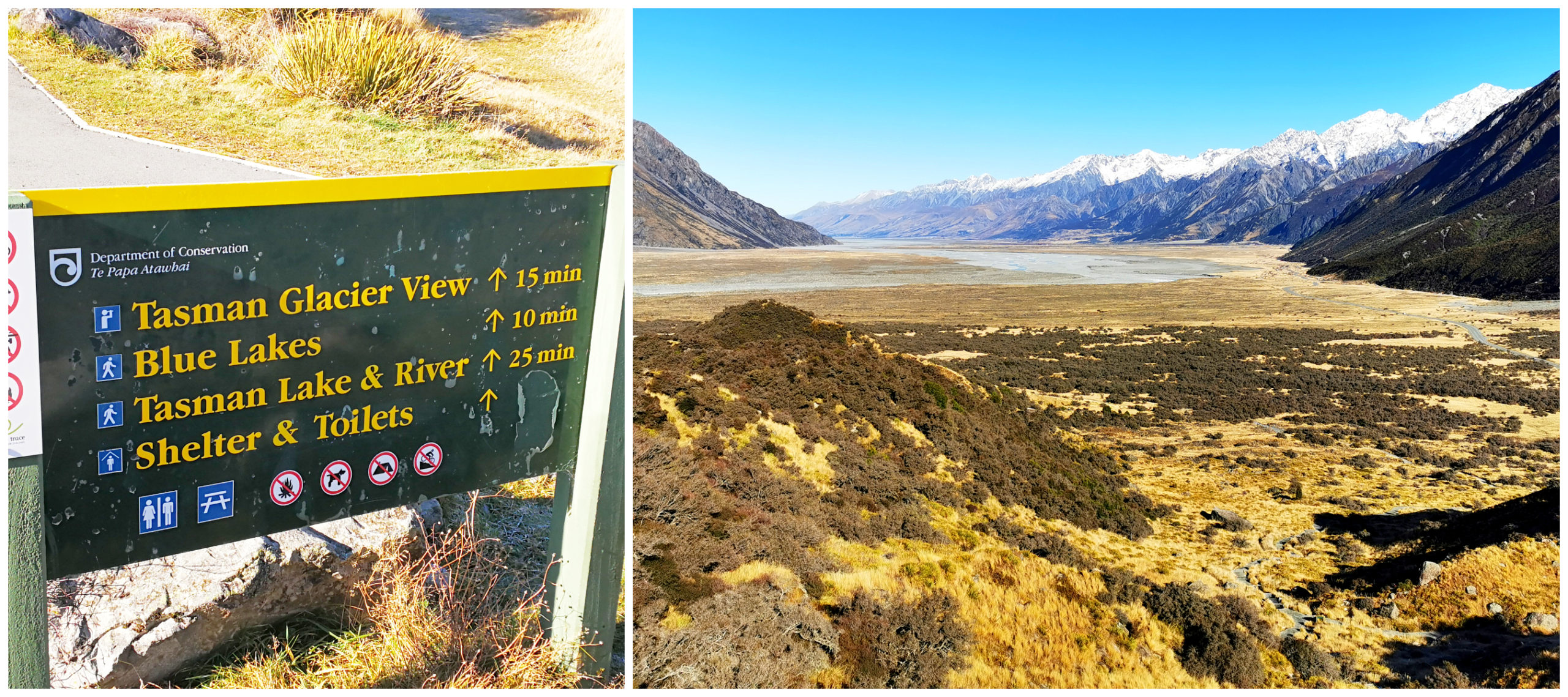
the views were spectacular as we paused to catch our breath while climbing the stairs – well it’s a good excuse to stop!
There is plenty of parking, especially when there aren’t many tourists!
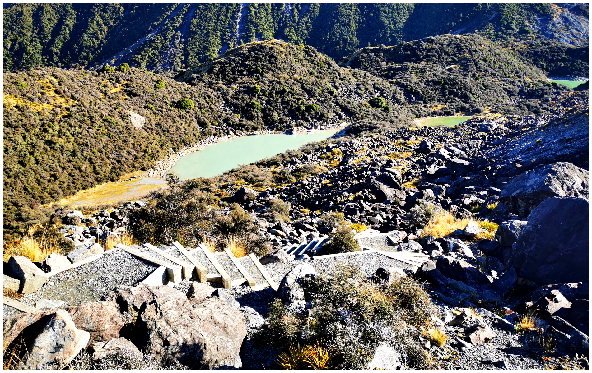
the very ‘green’ looking Blue Lakes
The two tracks are combined and you can look down on the Blue Lakes en route to the glacier. The Blue Lakes has actually transitioned more into a shady green colour. This is because they are no longer glacier-fed, but rather from rainwater.
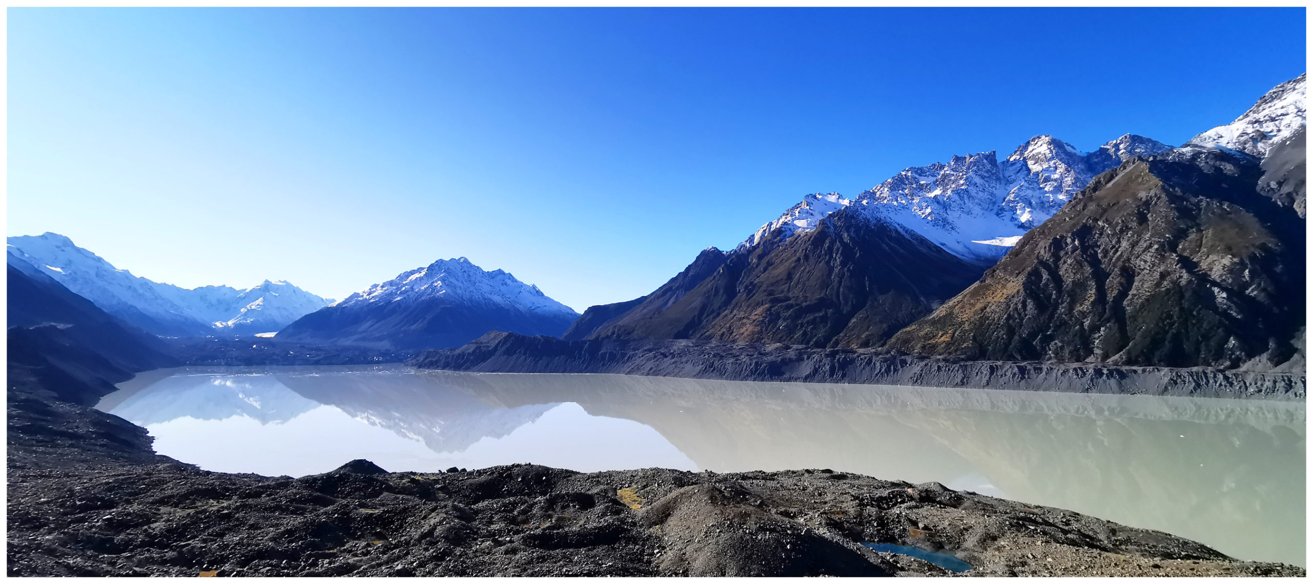
we could just see the glacier peeking out at us in the distance
At 27km, the Tasman glacier is the longest in New Zealand. It is estimated to be over 2 million years old and its ice shelf is slowly tearing away, leaving small icebergs in its wake, floating in its own milky-coloured lake.
Although it is the longest glacier, you can only catch a glimpse of the very tip of it as it peaks out behind rocky, jagged mountain faces.
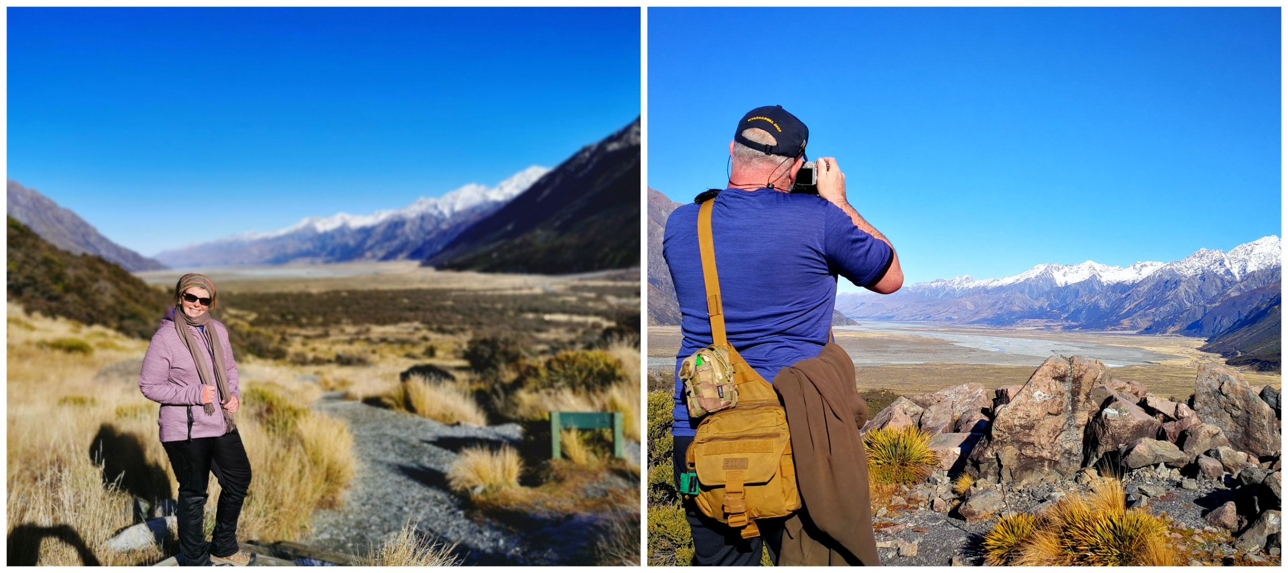
well if the glacier view was a little underwhelming, then these views certainly weren’t
Over our shoulder, we found long views down Tasman Valley in the direction we came from.
Driving the Canal Roads
On our way back to Twizel, we took the opportunity to travel alongside some of the man-made canals. Although mother nature cannot take credit for this scenery, I never tire of taking in the colours and stunning vista that these canals form.
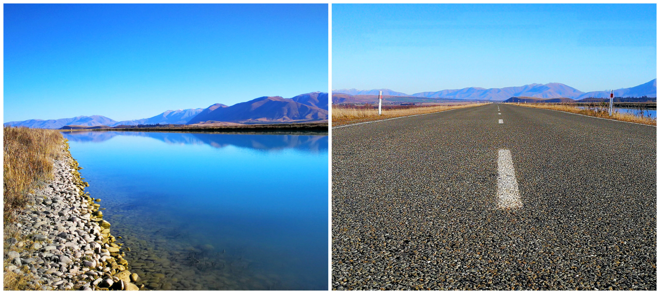
there’s plenty of canals to explore
The Pukaki Canal leading towards Ohau A Power Station (the largest on the scheme) seemed to stretch on way into the distance. In fact, if you wanted to explore these canals, there are 6 in total. These make up a combined distance of 56km!
Here is the link to our video on the highlights of our 3-night stay in Twizel, during the big ‘deep freeze’.
Lake Ohau
Lake Ohau is a lake nestled in the Mackenzie Basin. It’s actually fed by two rivers, Hopkins and Dobson, both which start way up the Southern Alps. Lake Ohau outflow is the Ohau River, which feeds into the Waitaki River Hydroelectric project.
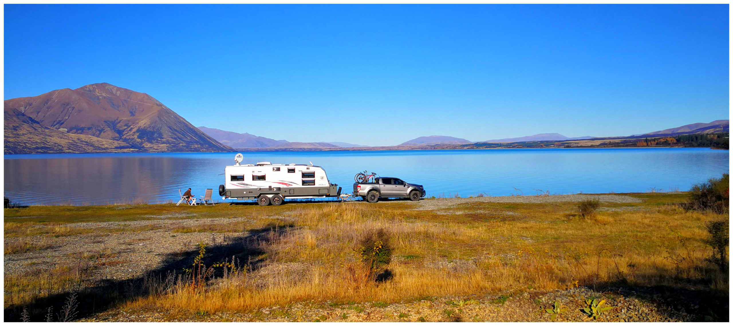
such a hard parking decision to make when there are so many choices
When it comes to camping options, there are a couple to choose from. We opted to head to the furthest spot, Round Bush Reserve (NZMCA#8103) which is a DoC camp. It’s located about 25km once you turn off the main highway. The last 2.5km of road is gravel but in good condition.
It’s a large two-tier camping area with a clean long-drop loo. There is a maximum of a 4-night stay (dogs on leads allowed).
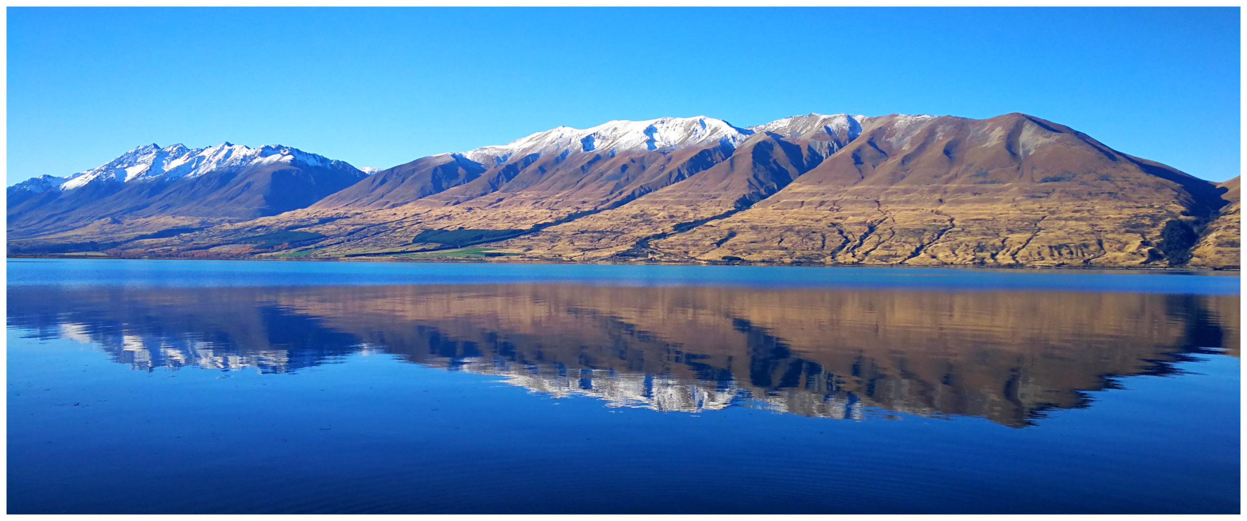
oh my goodness, so many calendar shots!
The best way I can sum up this pristine large lake is WOW! Although only 25km off the main drag, you instantly get a feeling of remoteness and tranquillity. Almost undeveloped, beautiful beech forests, hung with mistletoe in summer, grows right up to the lake edge.
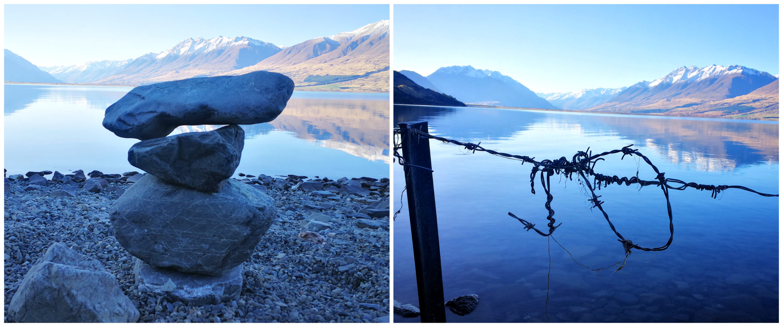
pristine views to enjoy whilst walking the shoreline
The deep blue of the lake contrasted with vivid reflections, flanked by towering snow-covered mountains.
Compared with a lot of big lakes, Ohau has an untouched feel to it.
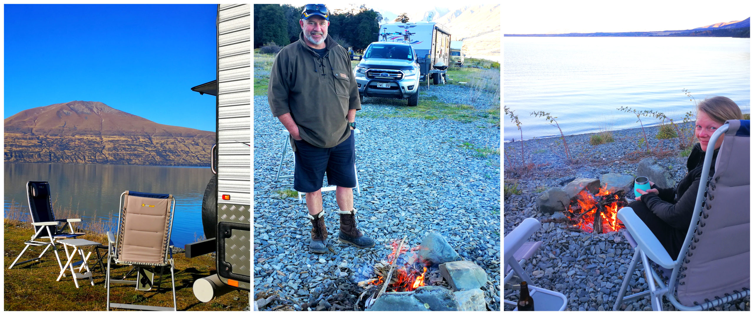
there was nowhere I’d rather be to celebrate my birthday
Dipping down to -5 degrees in the morning, I enjoyed being served my morning coffee in bed. After all, it was my birthday!
Summary
There are more places to discover in the Mackenzie District. It would be fair to say that there are still places on our list. Don’t let the winter put you off from visiting this magical region. There are so many ‘wow’ moments around every corner.
You write such a gorgeous blog! More than a diary, it’s a true travel guide, and Laura and I, currently in Dunedin, will be using it very soon as a reference for when we take Coddiwomple into the Mackenzie Country!
Awww thanks Lloyd, you guys and Coddiwomple are gonna love it. Enjoy your hunker down in Dunedin and get that Netflix fired up! Stay dry.
Love reading your blogs, they are so formative and interesting. Thanks for sharing guys.