It was time to finish what we had started and explore the rest of The Catlins. We’ll call this blog Catlins – Part Three, which takes us to the northern end of the stretch of coastline. If you haven’t yet read my previous blogs, you can check them out here (Catlins – Part One and Catlins – Part Two)
From our camping spot at Papatowai, (see Catlins – Part Two) it is only a 31km drive to the Hinahina Reserve.
Hinahina
We had a few options open to us as to where our next basecamp was to be. Hinahina is a small settlement located a few km’s from the larger town of Owaka.
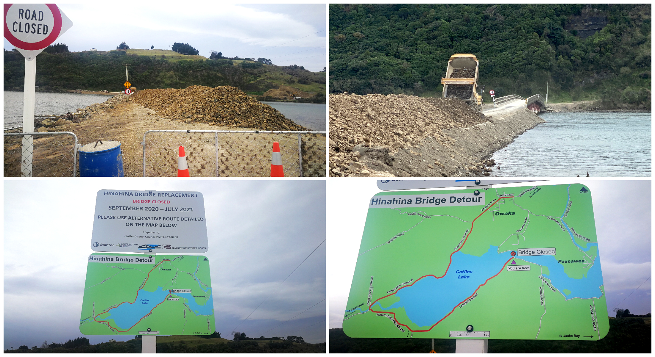
you’ve got to take the long way if you want to come to Hinahina
Usually, it is only about a 5km drive from Owaka but the closest bridge to Hinahina has been closed until July 2021 as it is to be replaced. This adds a few extra km’s as you need to take a slight detour. It is more like 10km to reach the Hinahina Reserve, where we set up basecamp.
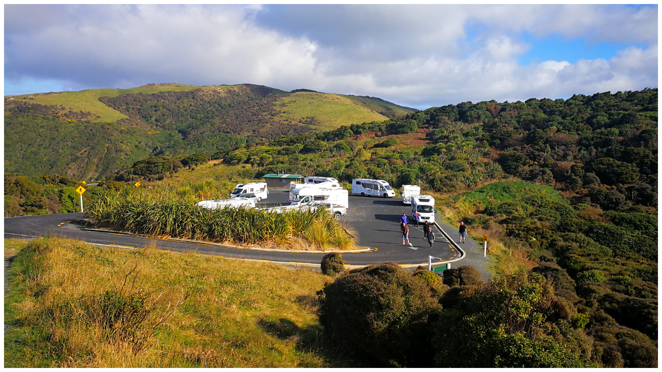
The Hinahina Reserve (NZMC#9002) is the site of the Owaka Yacht Club and the Owaka Boating Club. There is plenty of room but can be a bit boggy in places during wet weather. It is also important not to block the boat ramp.
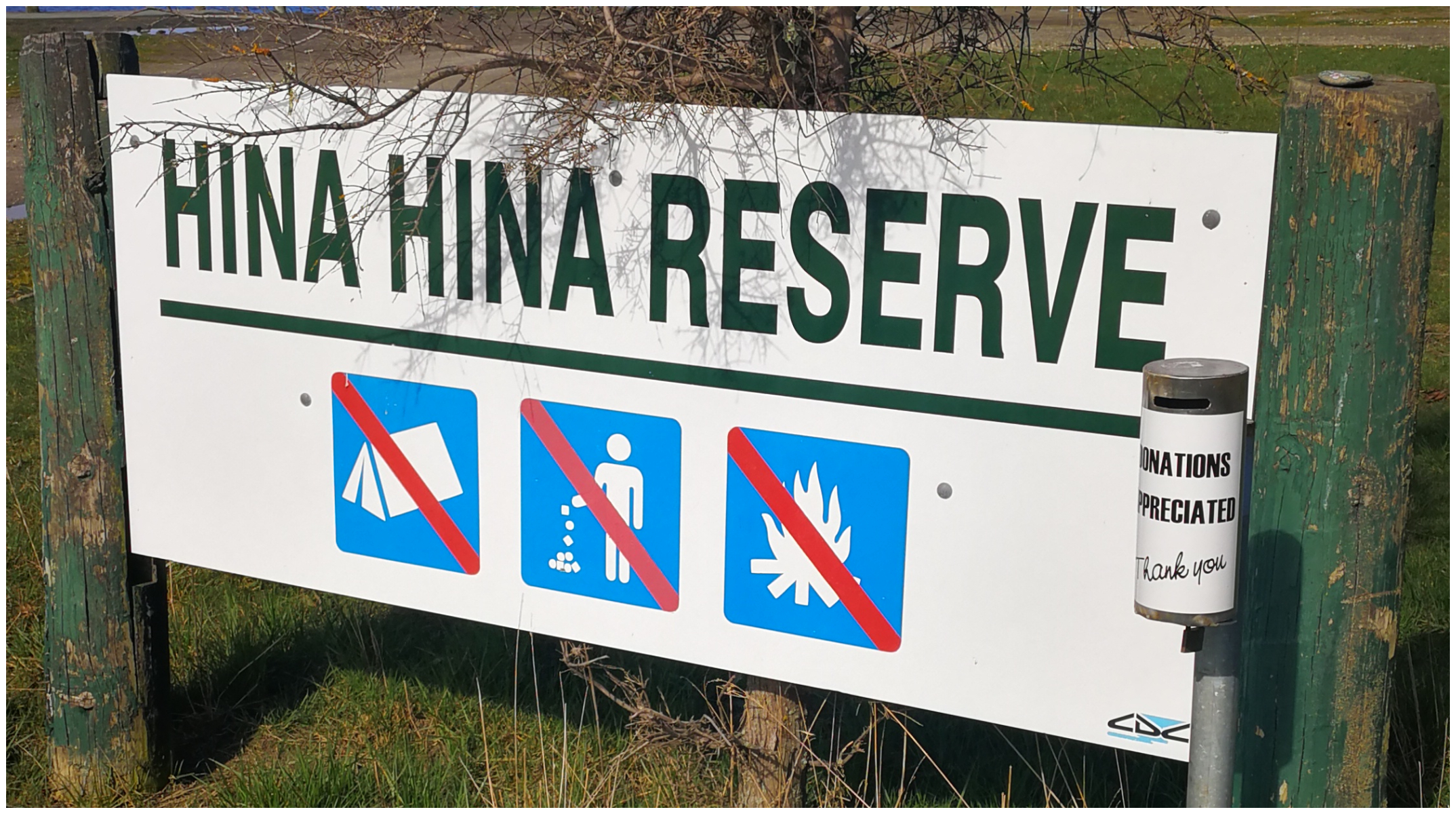
watch out for signage, can also be called ‘Domain’, Yacht Club or Boat Club
It is located right on the banks of the Catlins Lake. Which actually isn’t even a lake. It is a 7km long tidal estuary.
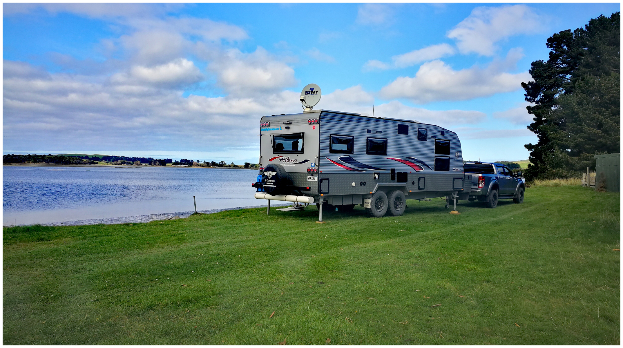
we scored a sheltered and primo spot beside the water
Dogs are allowed on a leash and it is a gold coin donation.
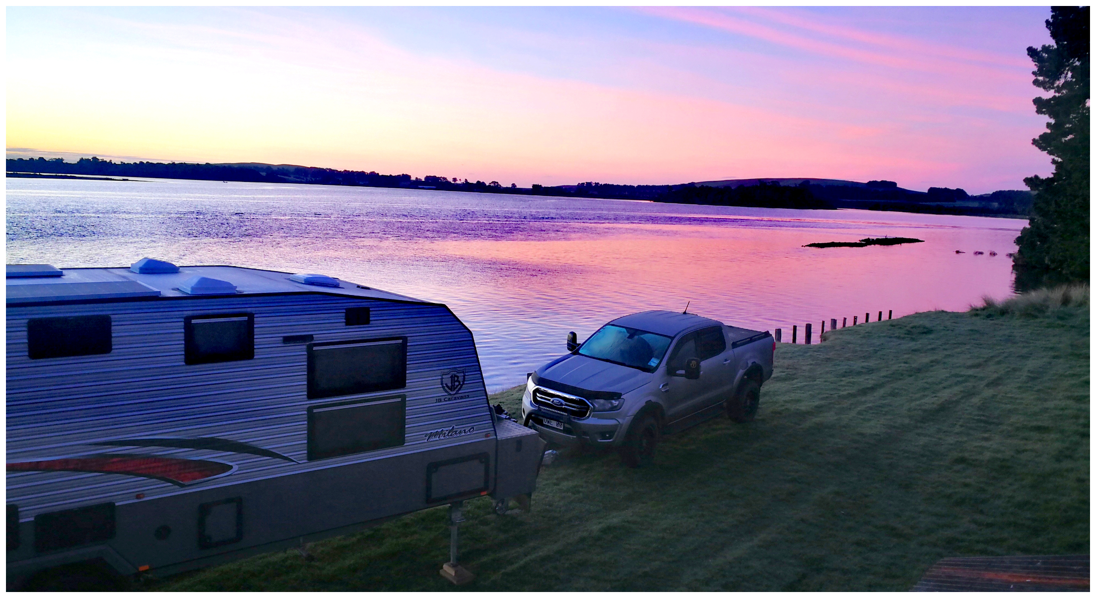
and it was worth getting up in time for a beautiful sunrise across Catlins Lake
There is a load of history surrounding Hinahina and Catlins Lake. The Hinahina Reserve is the site of an old timber mill. The old wharf used to have ships moored up having the timber loaded before heading back out to sea. In fact, there is a pile of unassuming rocks in the water which is what the ships offloaded after using it as ballast (see above photo RHS).
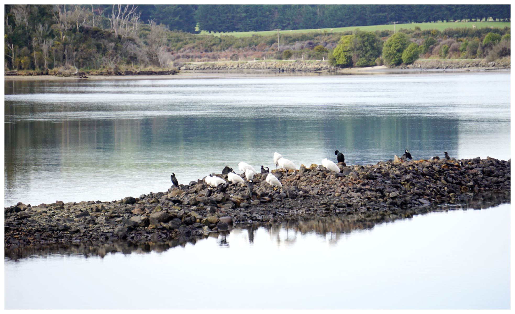
the local birdlife love the pile of stones which acted as ballast for the ships loaded with local timber
Owaka
Owaka is located a handy 35km from Balclutha. The town’s name means “the place of canoes” which is a giveaway on how it should be pronounced. Many locals seem to pronounce it differently as in “o-wacker”. I’m still none the wiser which is the correct way but I’m sticking with it sounding like ‘o-waka‘.
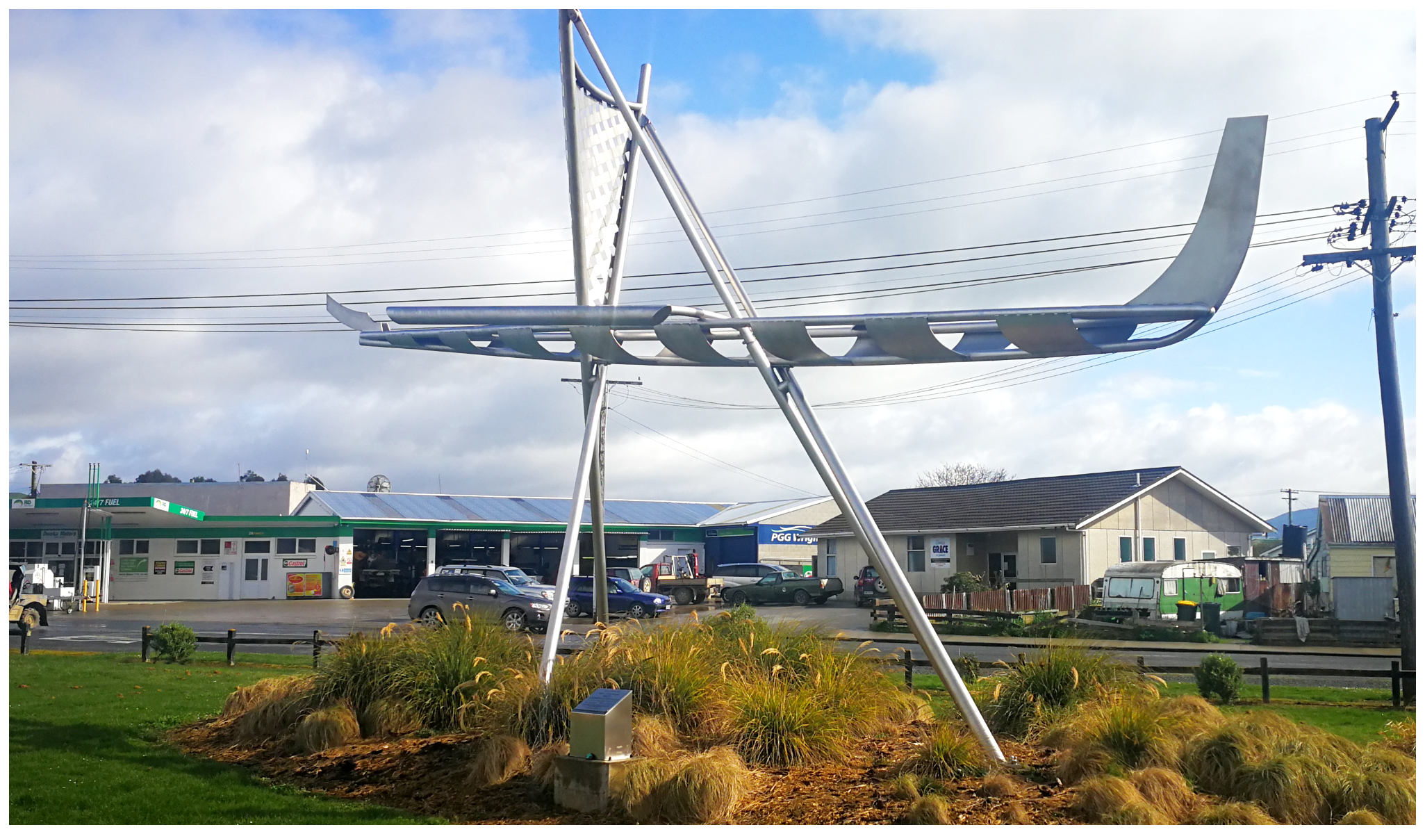
the ‘Waka’ sits proudly in the centre of town
The town was originally called Catlins River and then Quakerfield.
It is certainly a sleepy little centre in the winter with many of the cafe’s, galleries and gift shops closed. Some of them looked like they would be well worth a return visit to have a fossick through!
Owaka Museum
The town is steeped in history so a visit to the museum was on the list for us to visit. We like learning about what life was like in these small towns and how different they are from today. The Owaka Museum was the perfect place to do this.
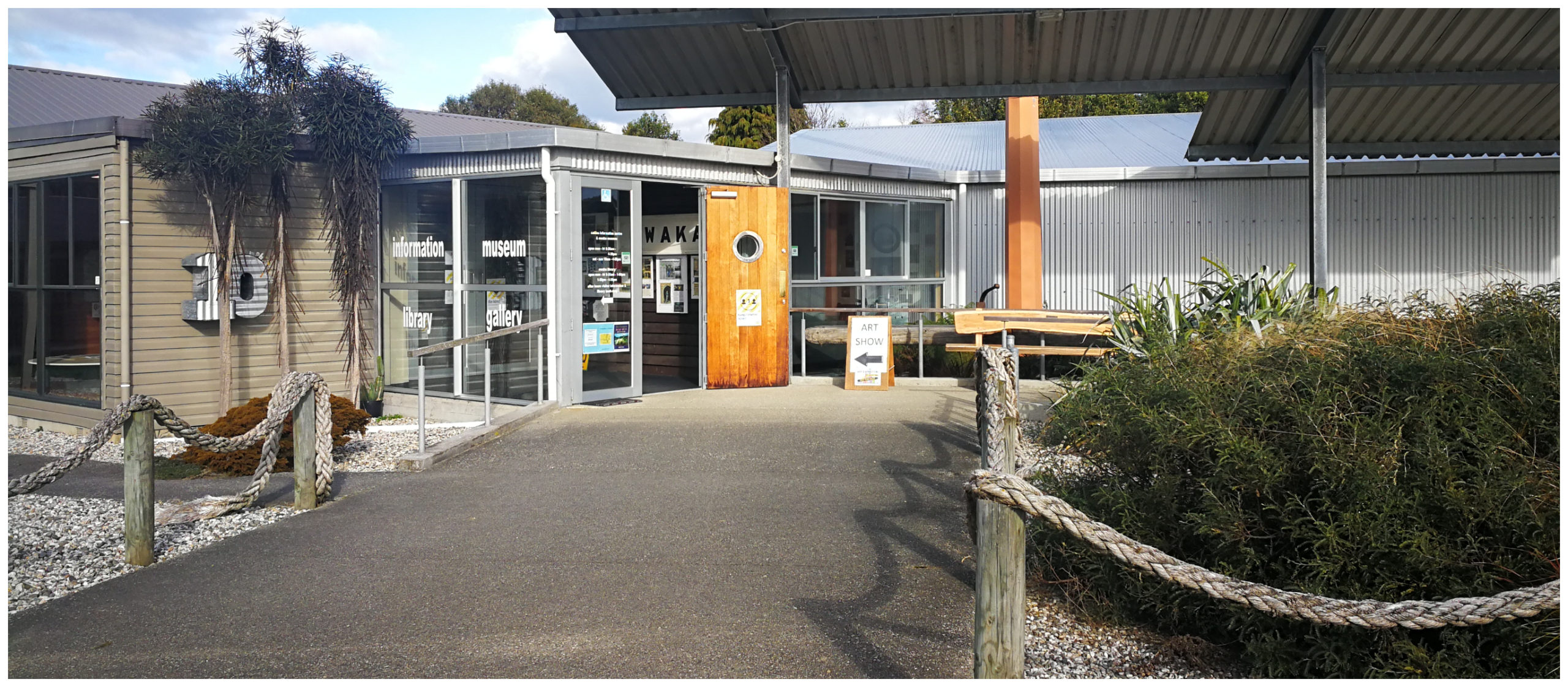
the museum is worth putting on your list to visit
There are displays, collections and information on Owaka’s creation, settlement, timber industry, shipwrecks and railway history. It is packed with all things Catlins.
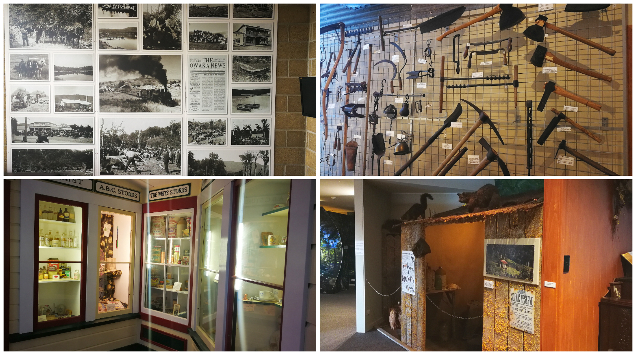
there is a whole lotta history packed into a small space
Jack’s Bay and Blowhole
Just a short 5km drive from our basecamp in Hinahina is Jack’s Bay. What a pleasant little bay, nestled amongst the surrounding hills. The small coastline is dotted with the quintessential South Island cribs.
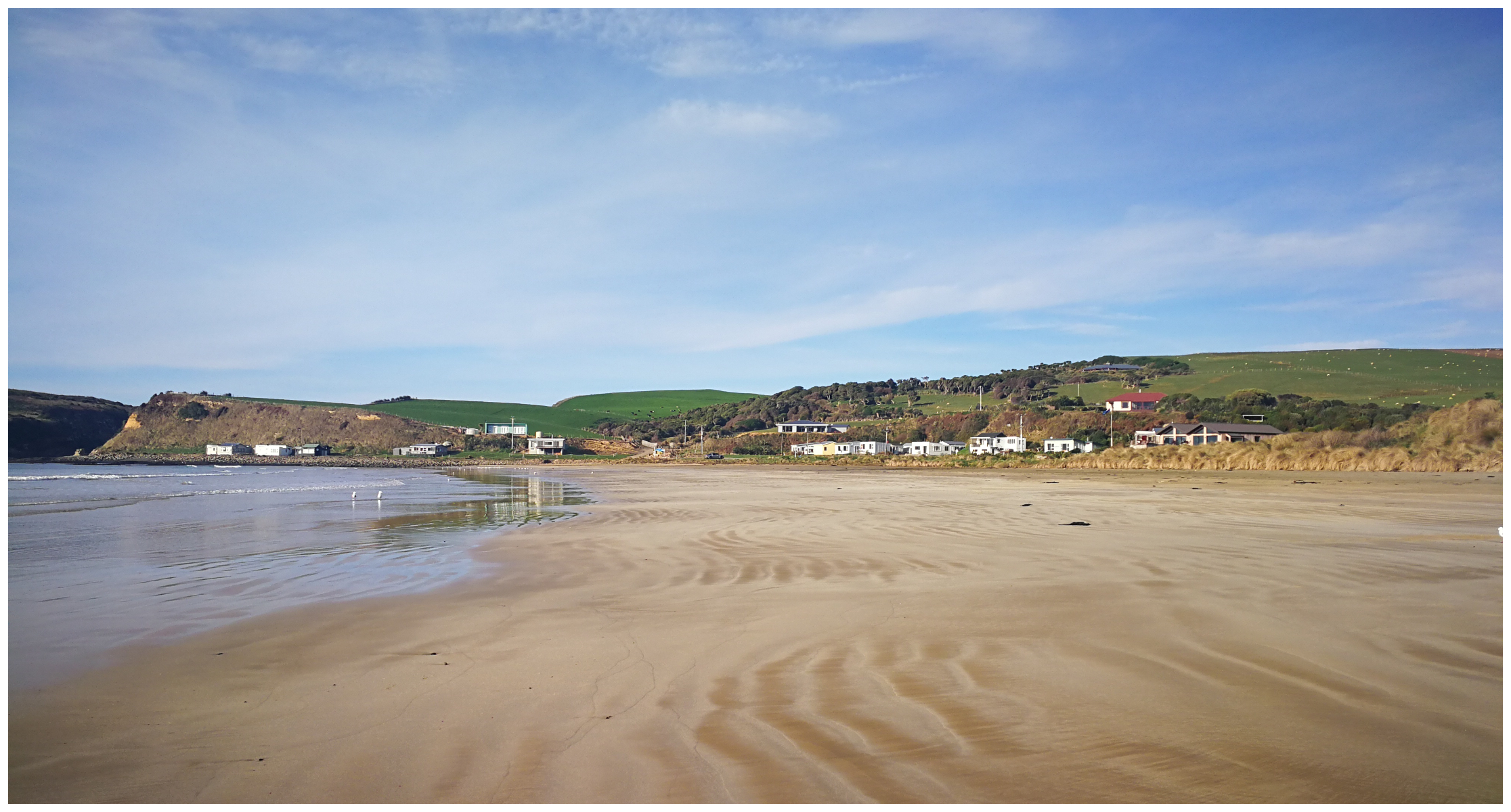
a beautiful sweeping and pristine beach
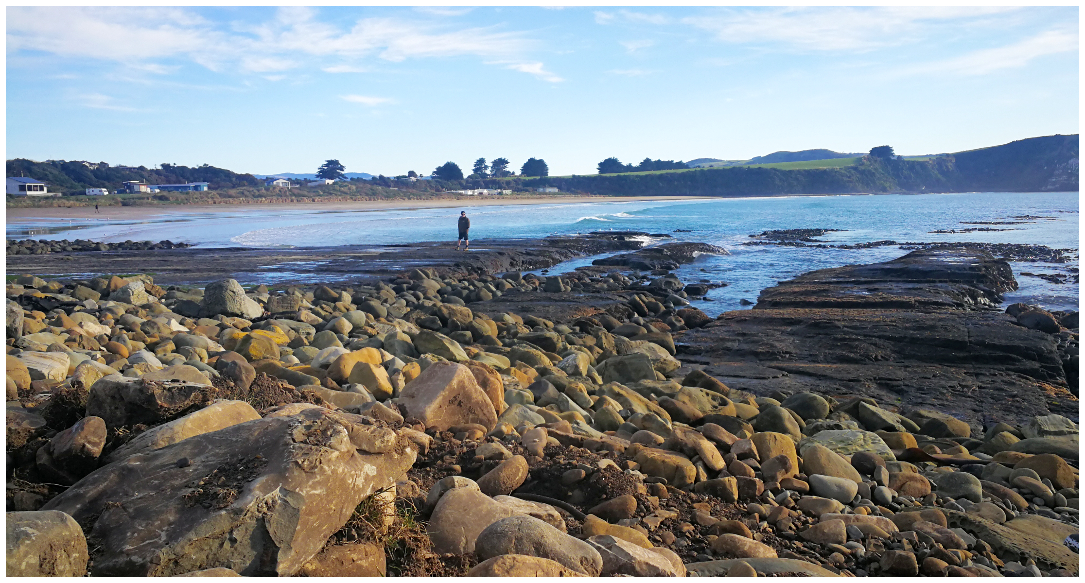
we loved the vibe and peacefulness of Jack’s Bay
It really still had the feel of where the good old ‘kiwi beach holidays’ still exist. Something which is increasingly getting difficult to find.
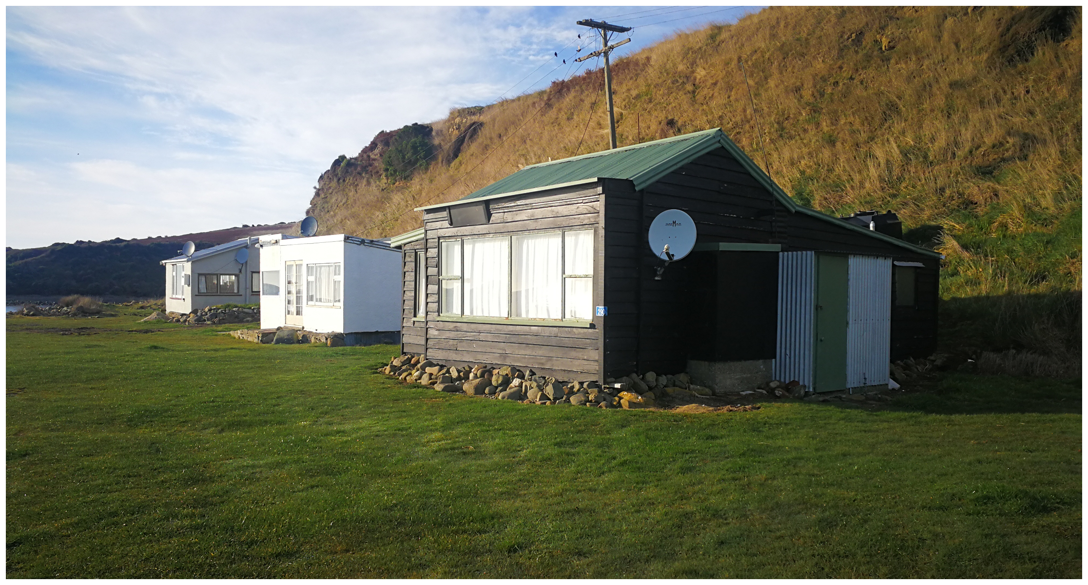
the quintessential kiwi crib/bach
At the far end of the beach, we found the walking track to Jack’s Blow Hole. It took us exactly 20 minutes (as per sign) to get to the blowhole and it was quite different from the blowholes I’ve seen in the past.
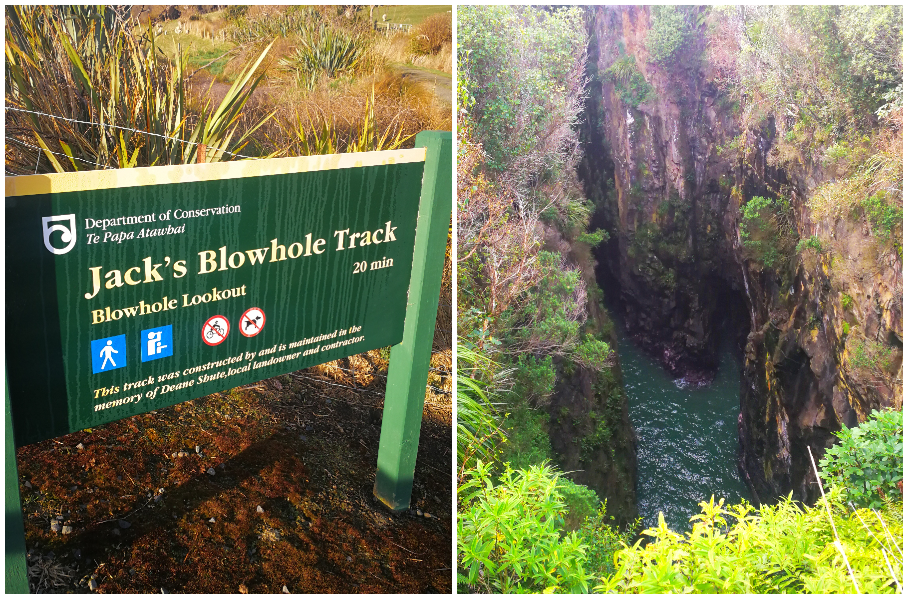
a different sort of blowhole and unfortunately, it was a bit tame while we were there
This blowhole is actually located 200m from the sea, travelling through an underground cave to get to a large and deep ravine in the middle of the earth (55m deep). It can perform quite spectacularly as the incoming water meets the outgoing surges. Resulting in a resounding roar and soaring mist (except on the day we visited!).
It is ideally viewed on a strong high tide with good swells. It was not conducive to the type of day that we visited. The day was glorious with calm seas. This did have its advantages though, as we could enjoy the spectacular views of the broad sweeping coastline down to Penguin Bay and beyond.
Cannibal Bay
After a bit of research, we decided that we’d take a drive to Cannibal Bay (approx 30 min from Hinahina), to do the walk over to Surat Bay (rather than the other way around). If you were to do it in reverse, there is a very long walk along Surat Bay to get to the track which leads you across the sand dunes at the headland (False Islet).
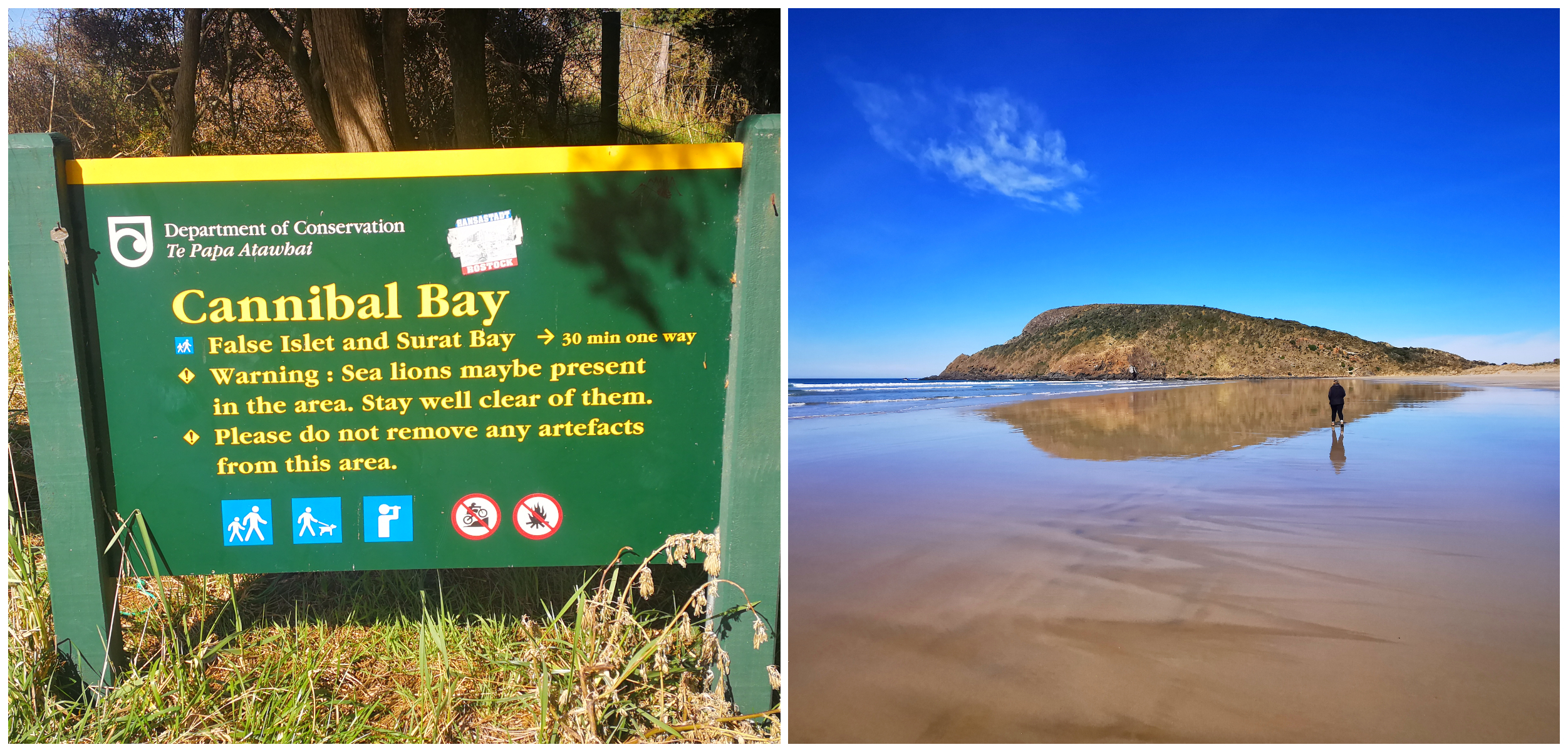
taking the drive to Cannibal Bay was a great idea
Cannibal Bay got its name when an early surveyor came across human remains. The area had a reputation for cannibalism and it was assumed that this is how the poor soul met his fate.
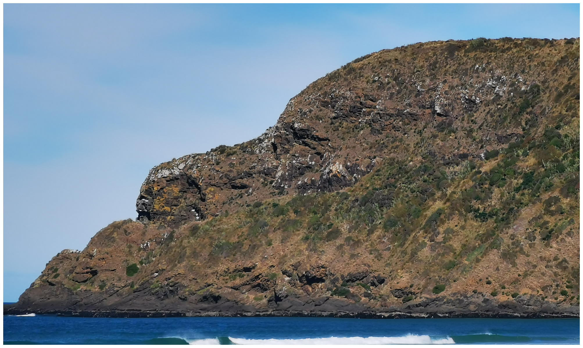
can you spot the ‘sleeping giant?’
The Cannibal-Surat Bay Walk
Parking at the southern end of Cannibal Bay, we headed northwards towards the high headland which separates the two beaches. This is known as False Islet. Instantly, I could make out the shape of the ‘sleeping giant’. Usually, it takes me a while to imagine different shapes in solid objects, but this was instantly apparent.
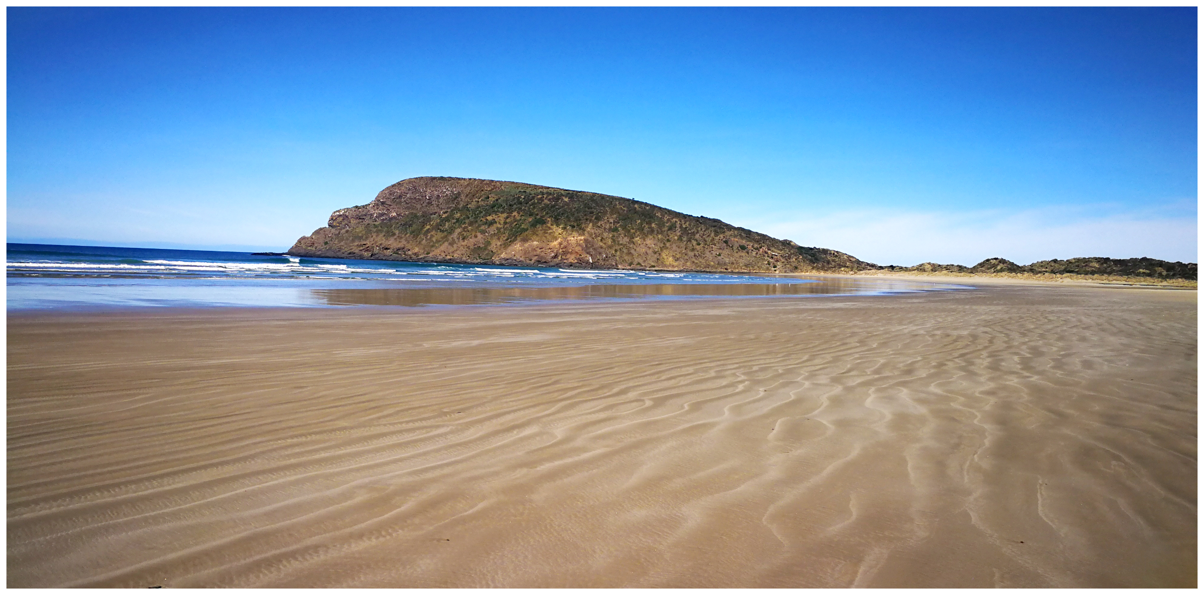
we headed off towards False Islet to walk over to Surat Bay
The unsignposted track veers off before you reach the cliffs, which takes you on a short path towards Surat Bay. It takes around 10 minutes on a sandy path, through tall flax bushes.
We had been warned to keep an eye out for sleeping sea lions who love nothing more than to sunbathe in the warm shelter of the flaxes. That is why I sent Scotty on ahead! Great caution is needed as these sea lions can get extremely grumpy.
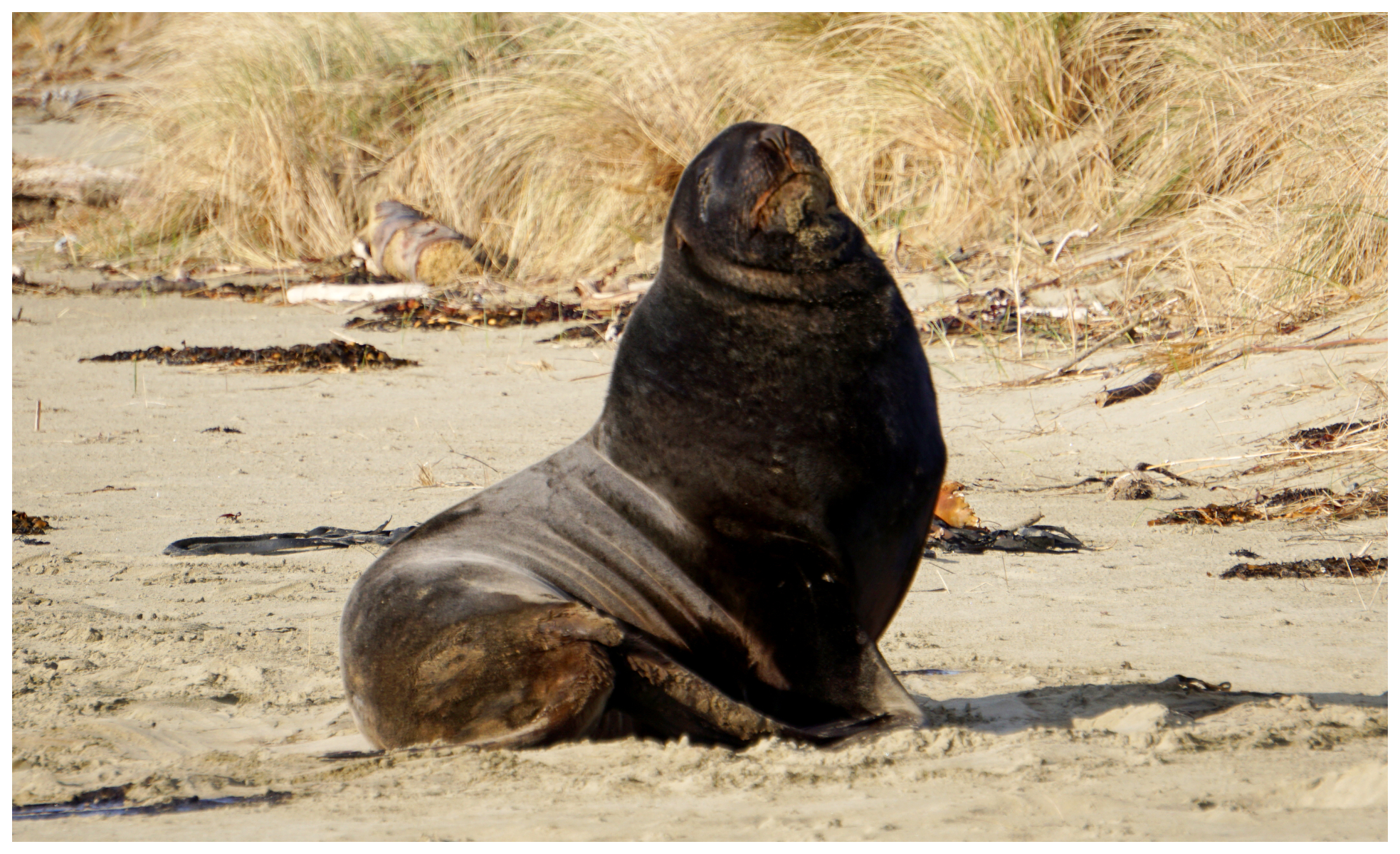
it was a good time for Scotty to have a great zoom lens on his camera so we didn’t have to venture any closer
Surat Bay
As we walked up over the last mound of sand, we were greeted with a view that could have been straight from a calendar.
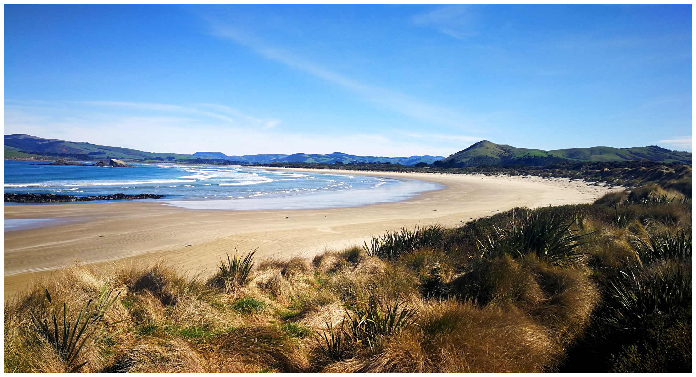
gosh what a calendar shot of Surat Bay
From this viewpoint, we got a sense of the vast expanse of this beautiful beach. It is such a slice of paradise but wasn’t so for passengers onboard ‘The Surat’. A passenger ship carrying 274 immigrants which started its voyage in England, ran aground in 1874. Everybody miraculously made it to shore and no lives were lost. And that is how the beach got its name.
As I mentioned earlier, you can do a longer walk from Newhaven along the entire length of Surat Bay and then over to Cannibal Bay. It is a long walk though!
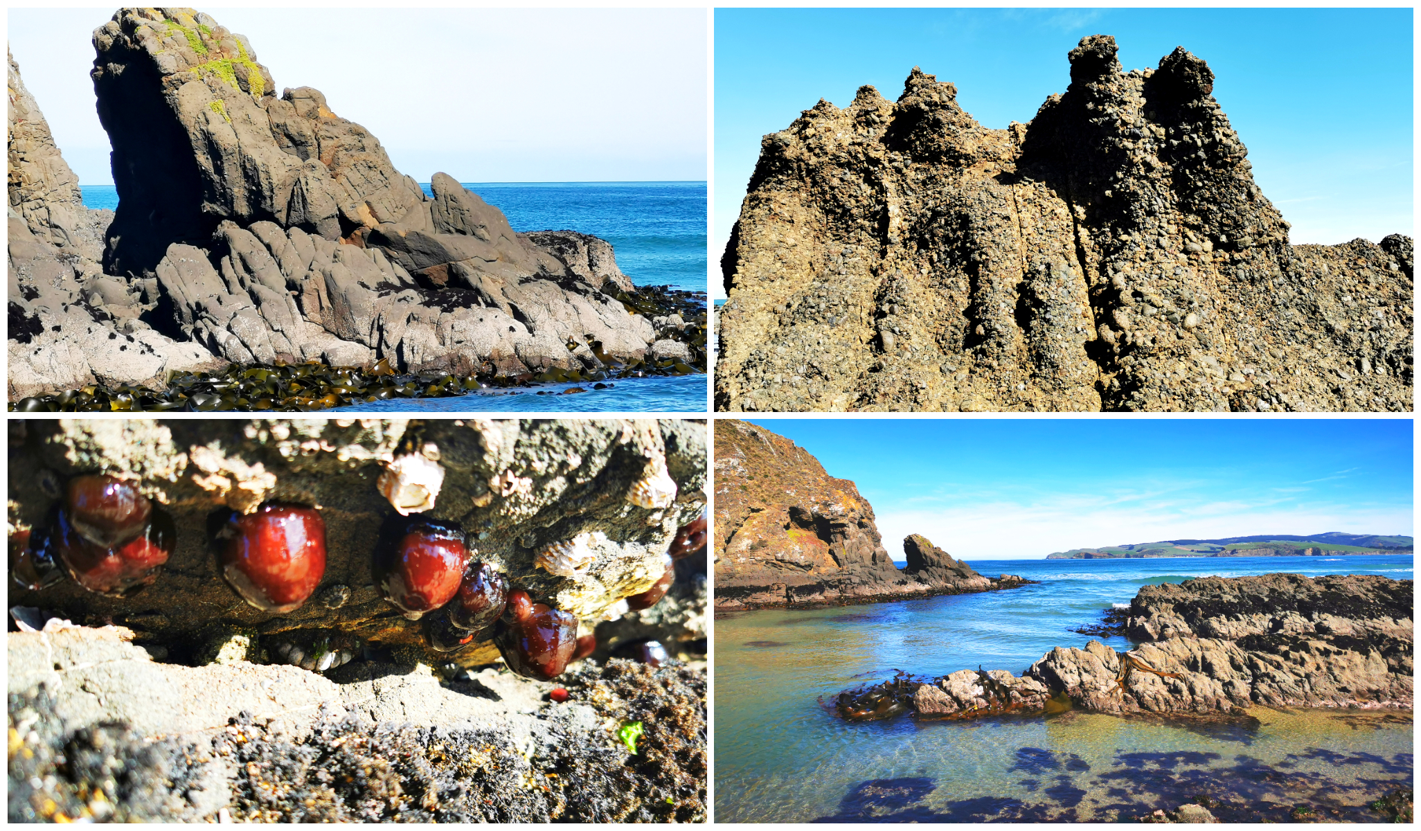
never too old to fossick around the rockpools!
We wandered around some of the deep crystal clear rock pools at the base of the cliffs. The water was a startling blue/green colour and would be extremely inviting to take a cooling dip in the heat of the summer.
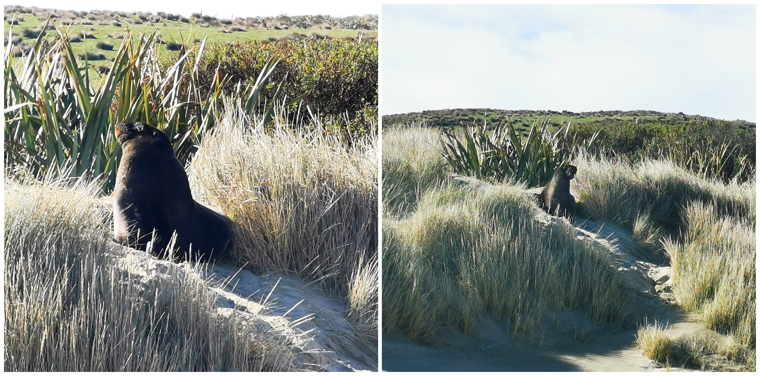
we gave these guys a wide berth!
We spotted a couple of the grumpy sea lions who didn’t take kindly to us, despite us being a distance away. Giving them a wide berth, we made our way back over the connecting track to Cannibal Bay.
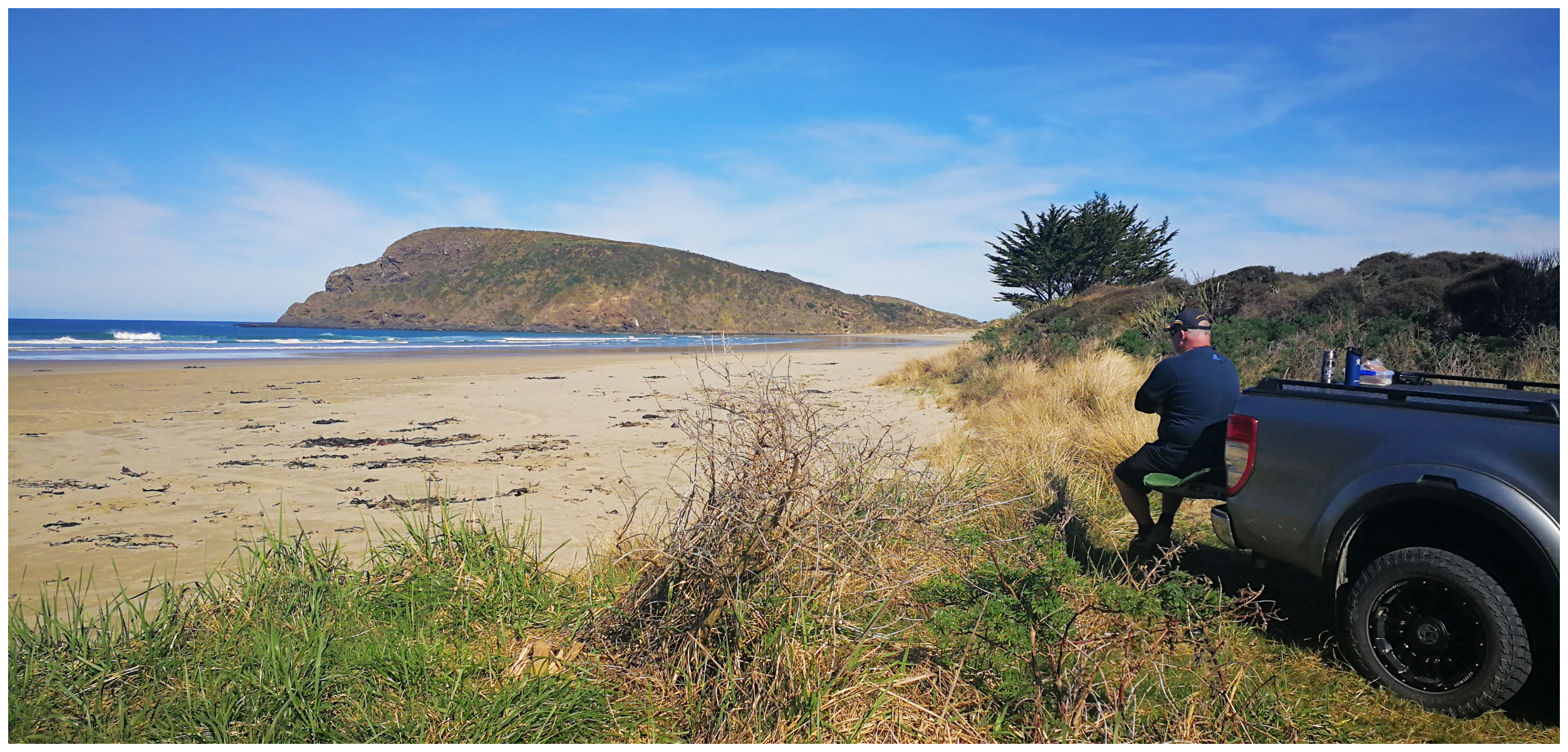
primo ‘tailgate’ lunch spot for sure!
We decided it was an ideal spot and timing for a ‘tailgate’ lunch overlooking False Islet, with the sleeping giant keeping an eye on us.
Tunnel Hill Track
The track is well signposted off SH92, five km north of Owaka.
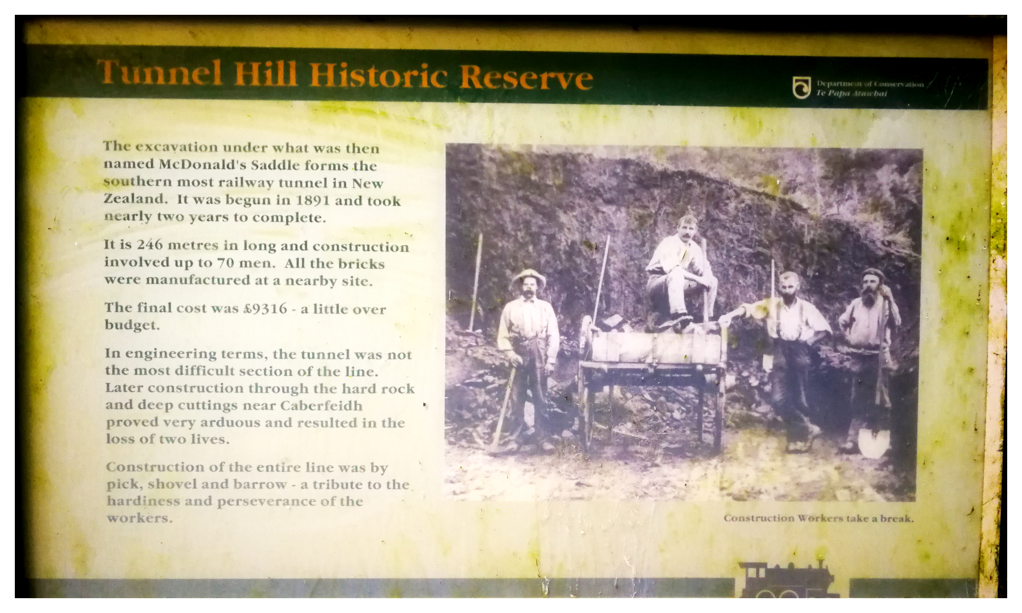
we love railway history so quite fascinated with Tunnel Hill
We initially explored part of the Catlins River branch line in Catlins – Part Two. Between 1879 and 1971, the Catlins railway lines opened up the forested lands for timber milling and farming.
With a keen eye, you can still see the old rail route, visible in the landscape with its cuttings and embankments.
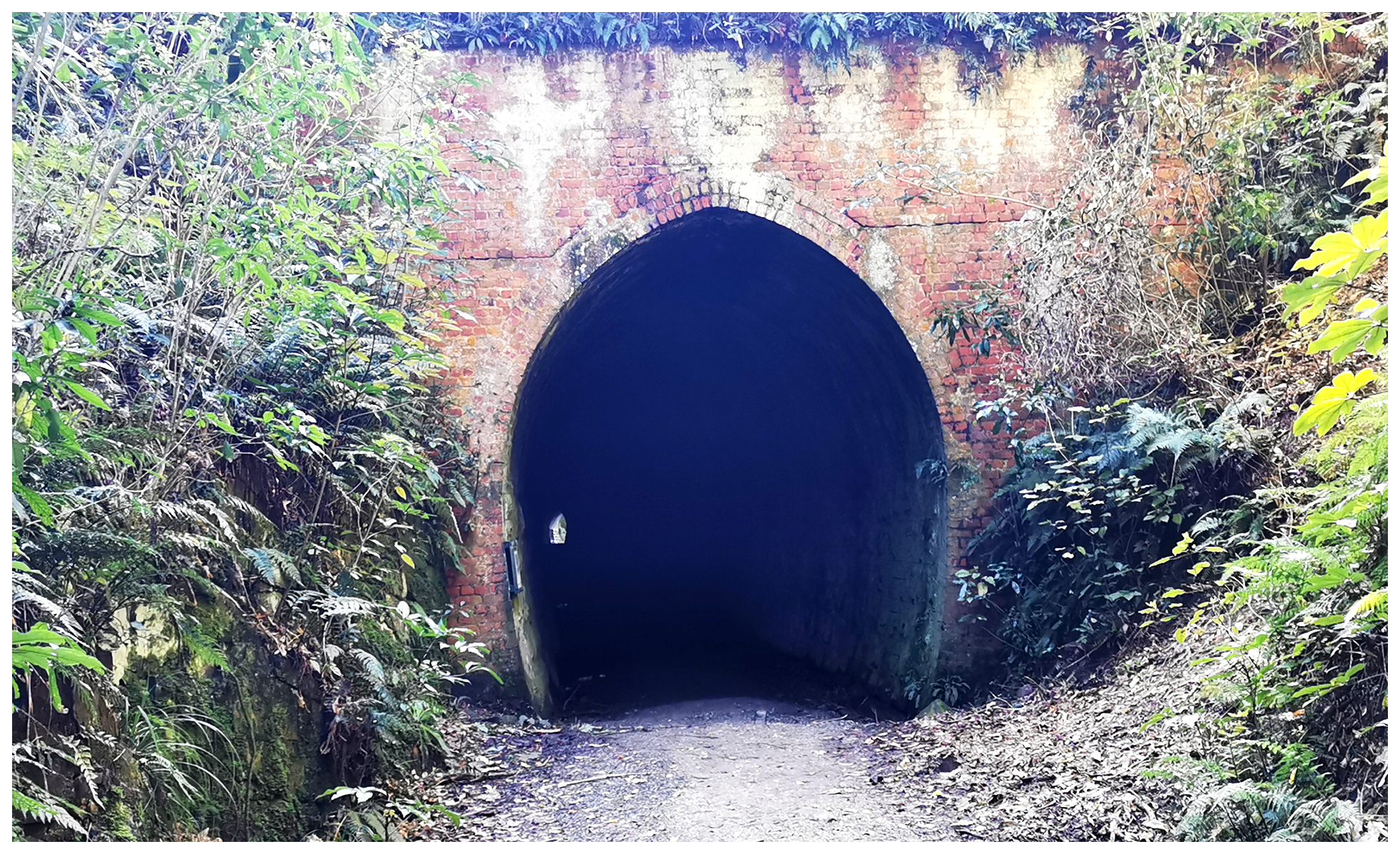
we could just see a light at the end of the tunnel
There is only one tunnel on the whole branch line and is located at the aptly named Tunnel Hill.
It’s a short walk to reach the southernmost railway tunnel in the world.
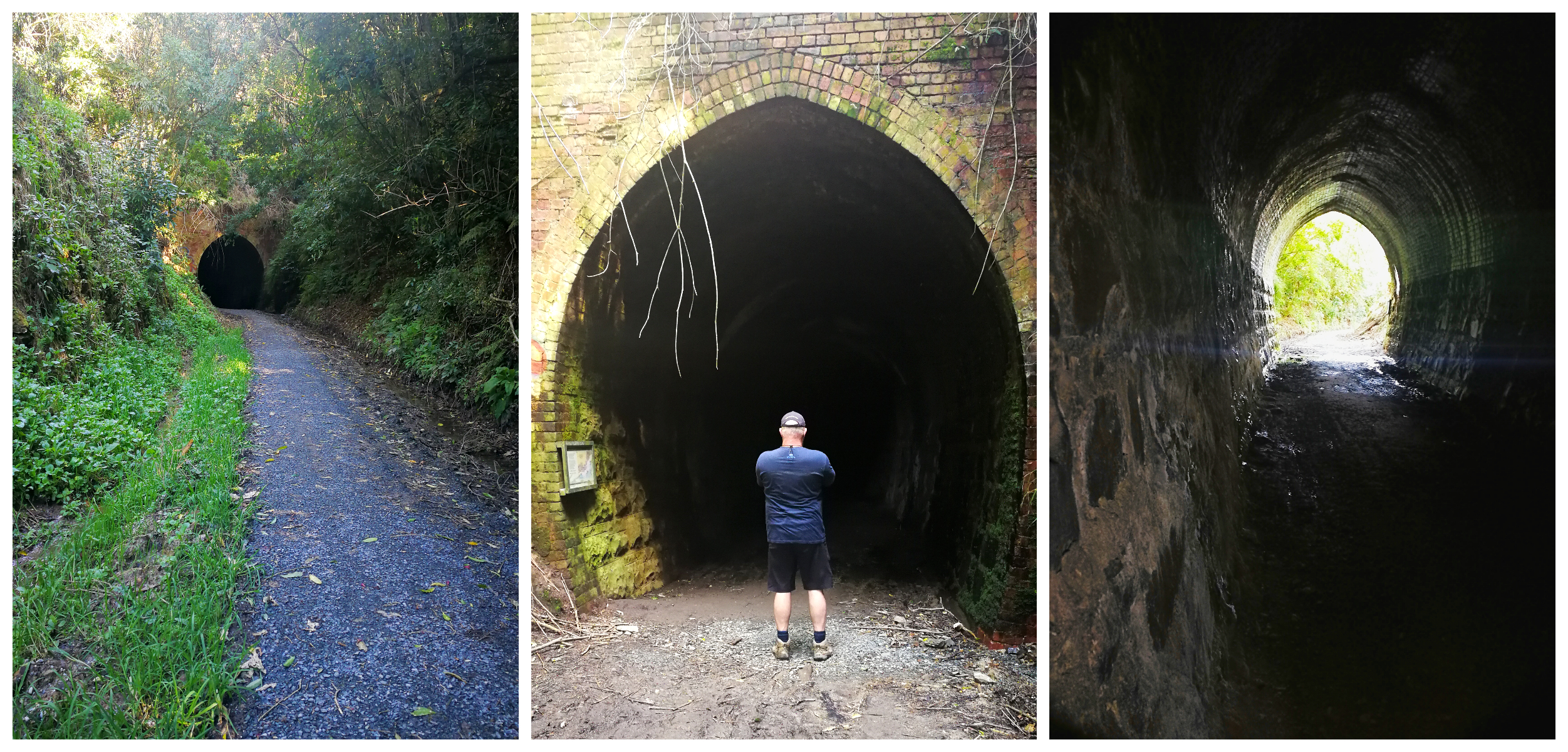
it’s a short walk to the tunnel
The tunnel is 250m long with a slight curve. A torch is recommended to fully appreciated the intricate brickwork in the tunnel’s construction.
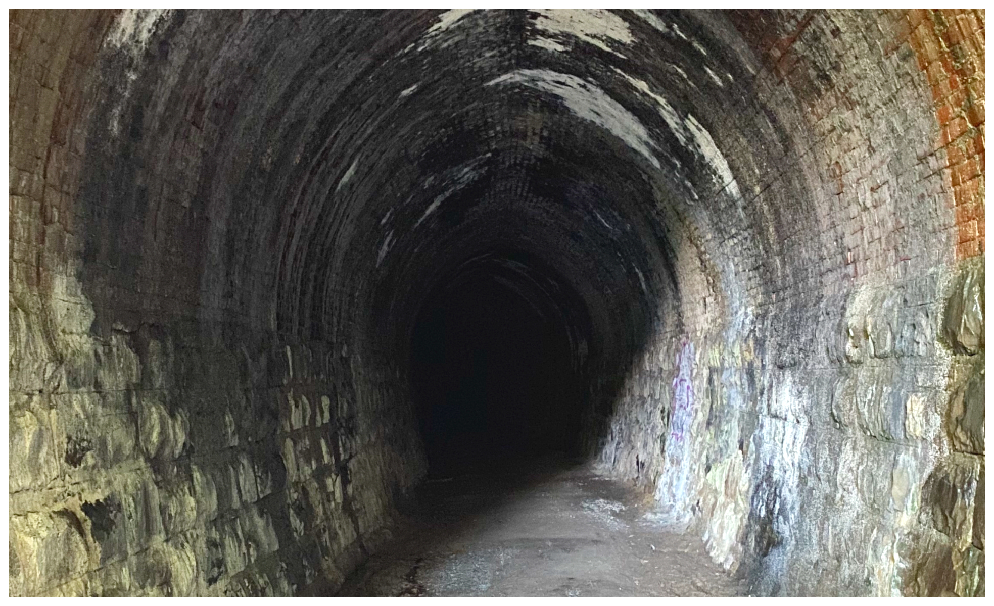
don’t forget your torch
This tunnel section was completed in 1896 and the line reached Owaka a year later.
Nugget Point
As usual, it was another ‘short’ trip for us today to get to our next destination. We headed for Nugget Point, only approximately 40km from Hinahina Reserve.
We stopped off at Owaka as they have a really good Public Dump Station and potable water supply (it’s amazing what gets you so excited when you live full time on the road!). They also provide a great freedom camping spot located behind the Catlins Inn. This is another good option if you are looking for somewhere to stop for a night or two.
Anyway, after we purchased a ‘coffee to go’ from a local cafe, we headed for Nugget Point.
Nuggetburn
If you are members of the NZMCA, you will be familiar with POP’s (Park over Property) which is where private property is offered to members to stay at.
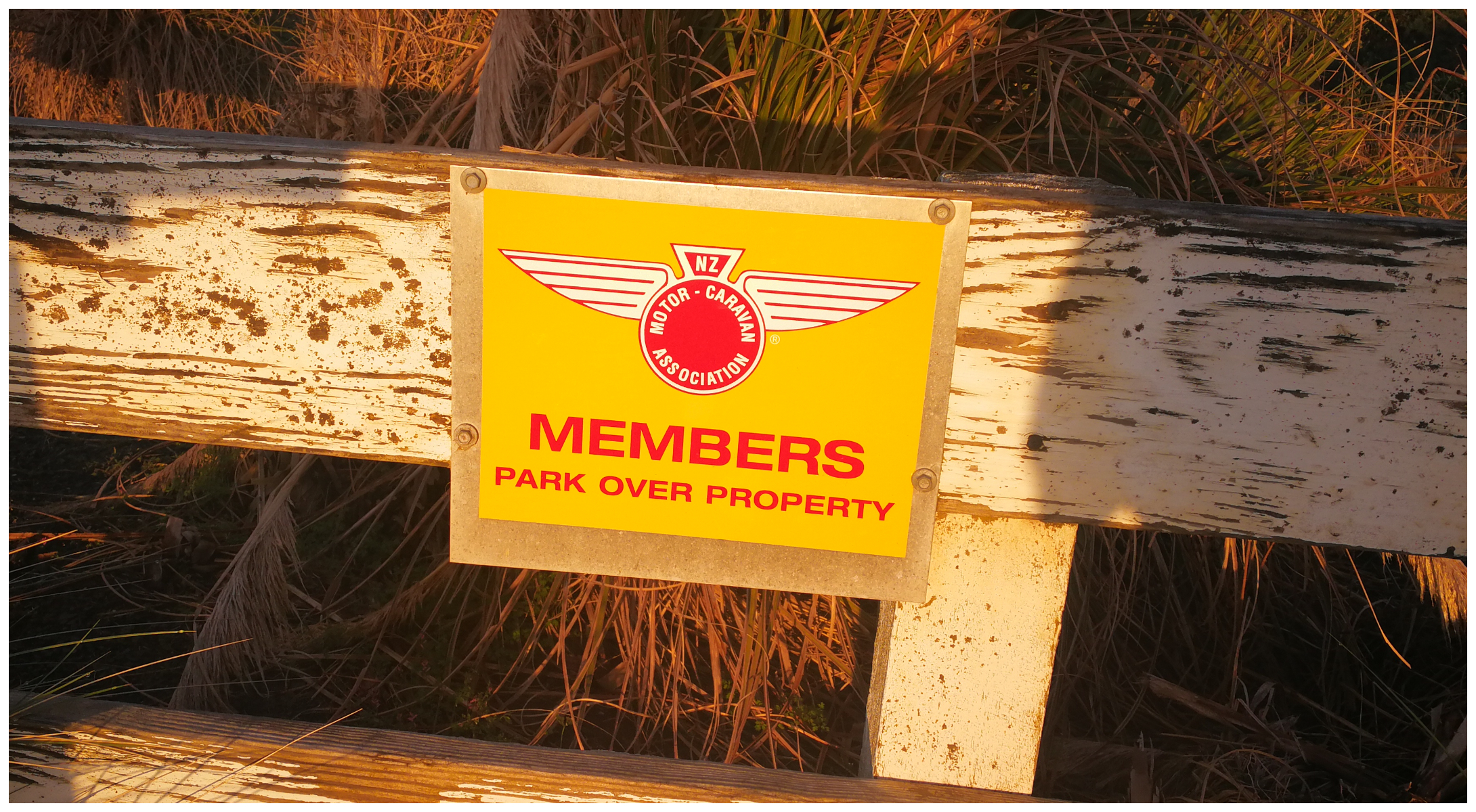
parking available for members of the NZMCA
We had heard great things about a POP (NZMCA#8967), located quite close to the Nugget Point Lighthouse and the feedback wasn’t wrong.
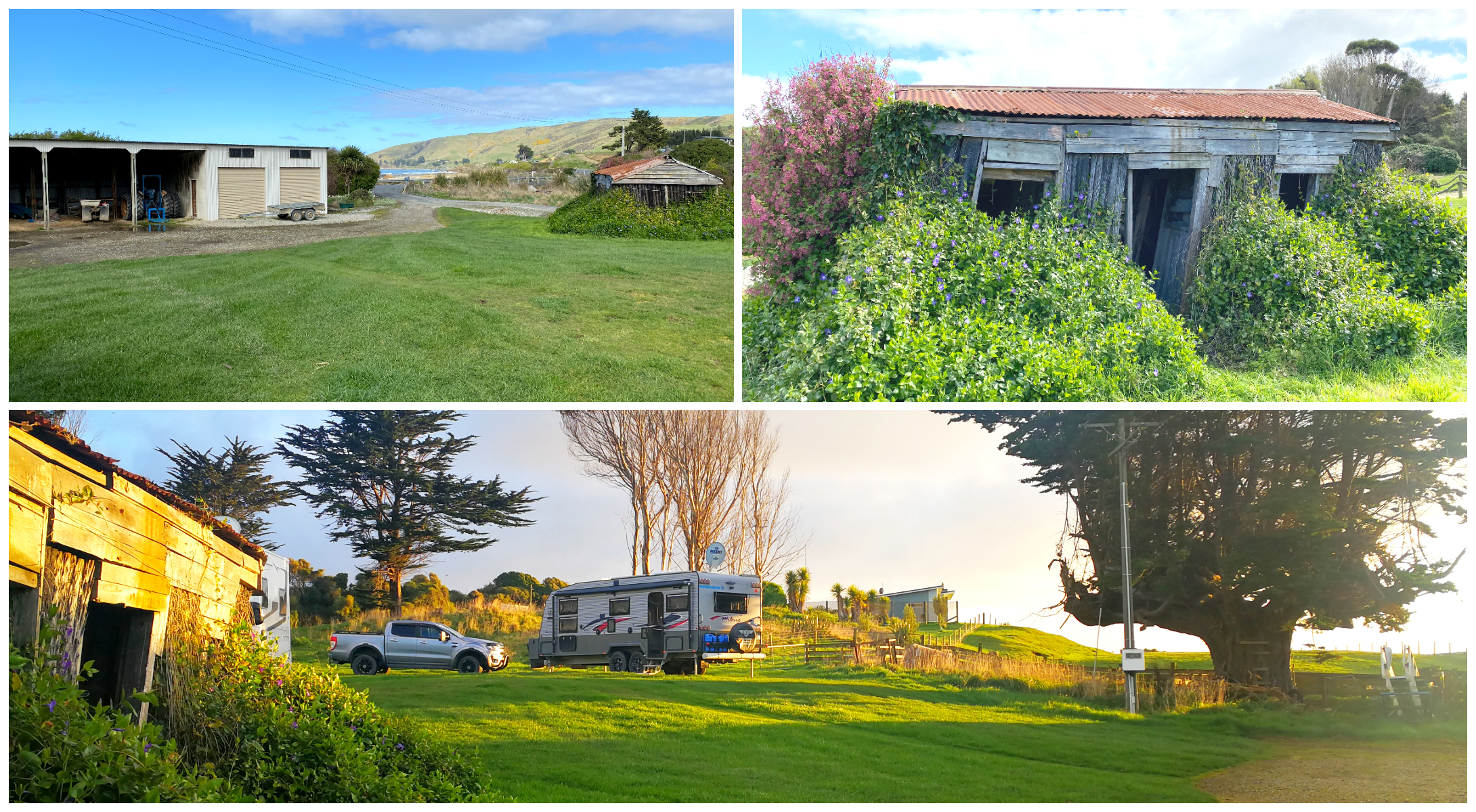
opportunities like this are only possible through the generosity of others
Winston and Hazel are the nicest hosts you could hope for. We are very fortunate to have ‘salt of the earth’ people who love nothing more than to meet and greet travellers and generously share their little slice of heaven with others.
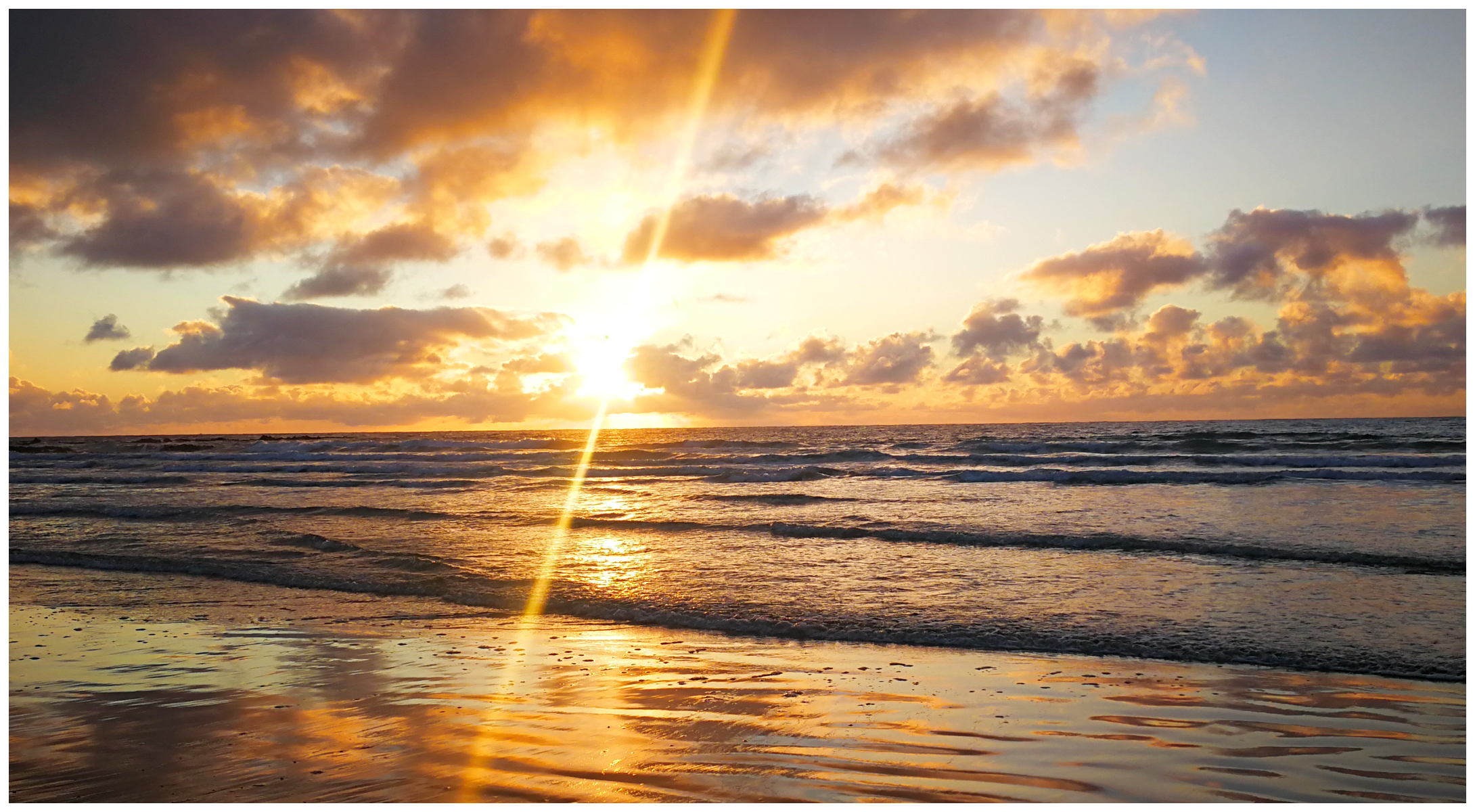
I wasn’t going to let a sunrise go by without me
Their property is located right across the road from one of the sandy beaches that make up this section of the Catlins coast. Once you are across the road on the beach, you can get a great view of the lighthouse which looks like it is precariously perched on the clifftops of Nugget Point.
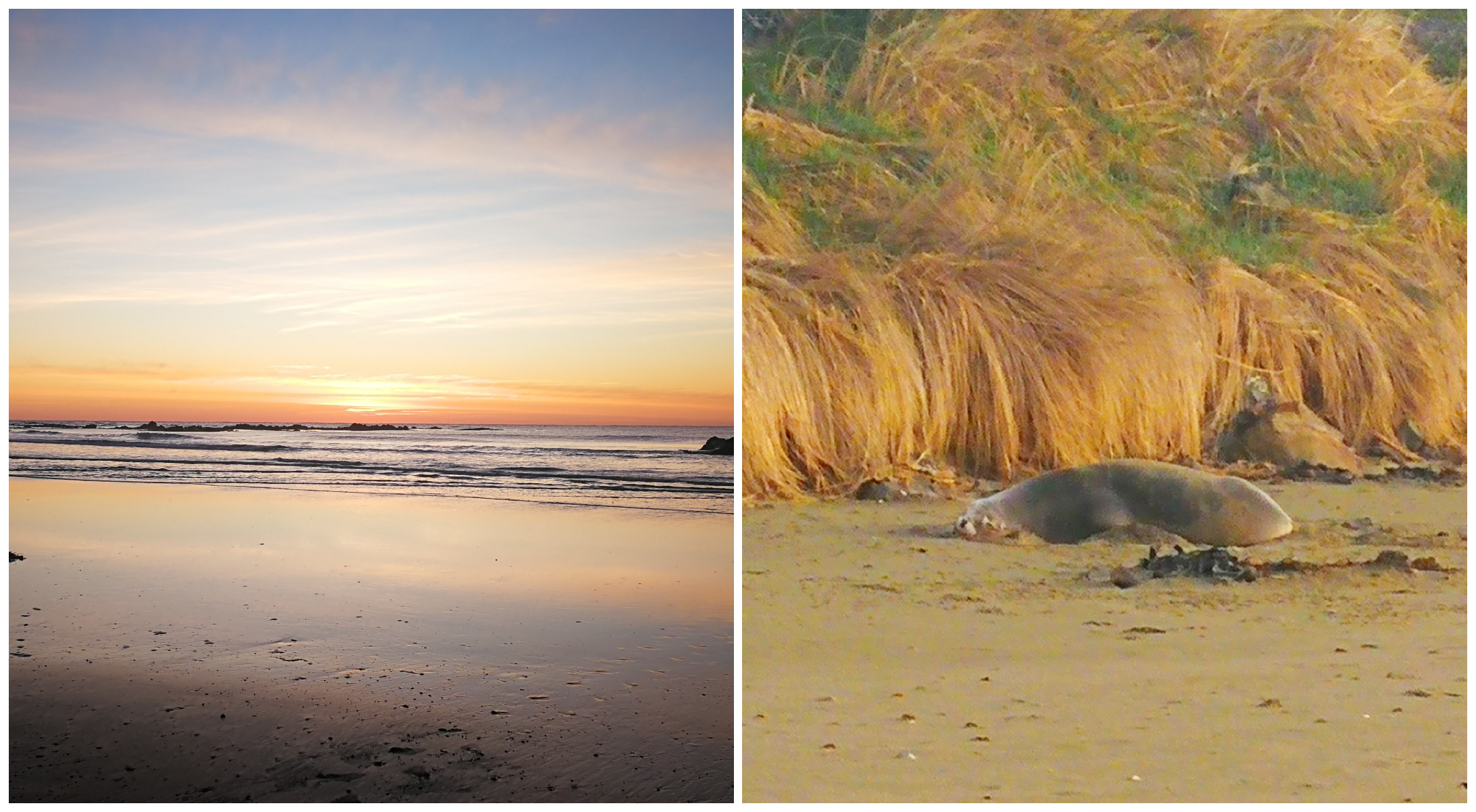
I wasn’t the only one enjoying the sunrise, we kept a healthy distance from each other!
Nugget Point Lighthouse
Now I’m not going to bore you with the all the Wikipedia details of the lighthouse but just a few interesting points to note:
- one of the oldest lighthouses in New Zealand
- the building of the lighthouse commenced in 1869 and it first lit up in 1870
- the tower was constructed from locally quarried stone, the quarry can still be seen on the walk to the lighthouse
- there used to be an old stone house which was the original keeper’s home but was bulldozed to make way for a parking area! (shame!)
- a local schoolhouse used to sit right on the highest peak of the point (must have been fun at school on a windy day!)
- originally, the lighthouse was powered by an oil burner
- became fully automated in 1989 and still shines its light brightly every evening
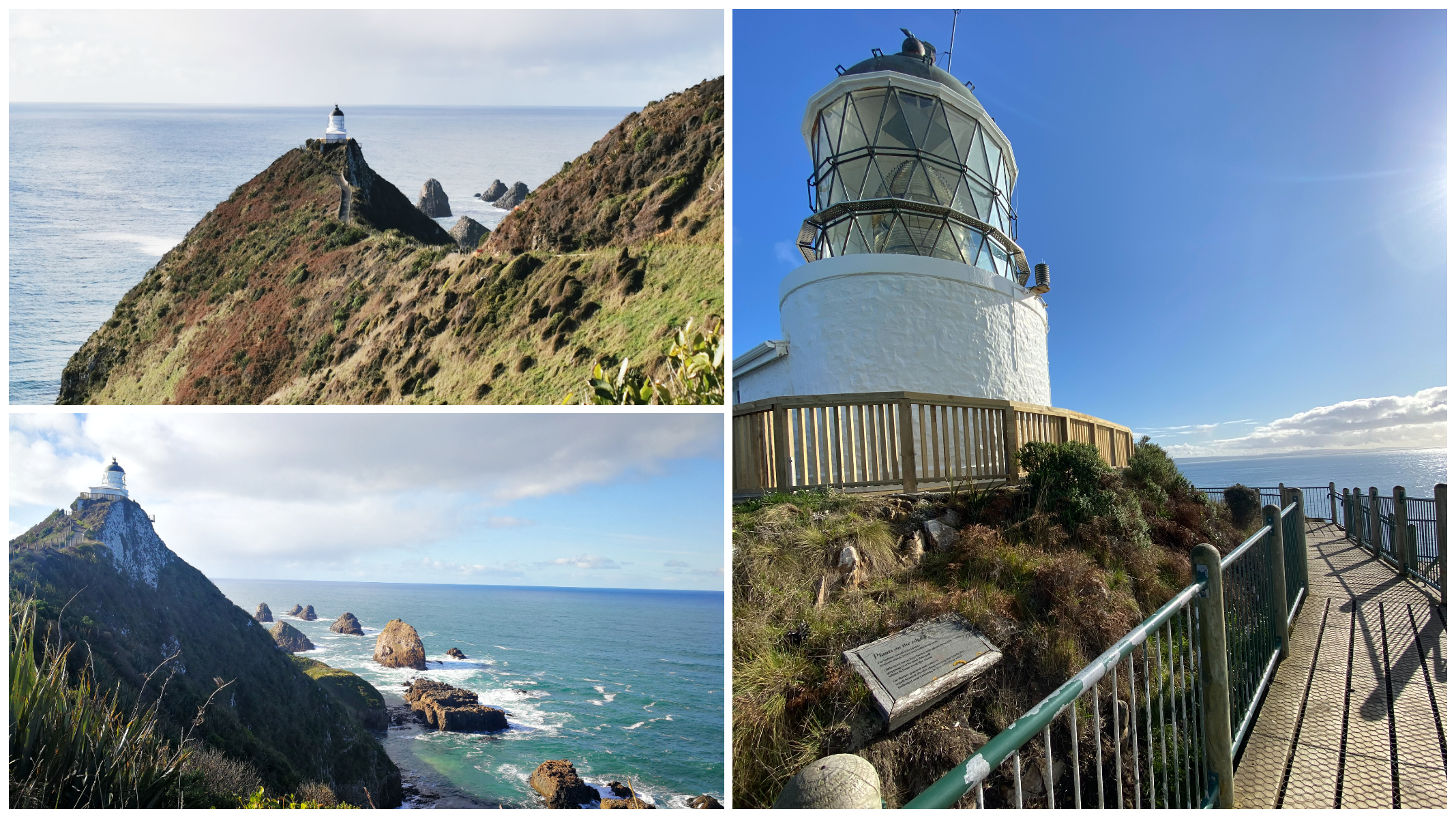
the historic lighthouse sits perched on the cliff face
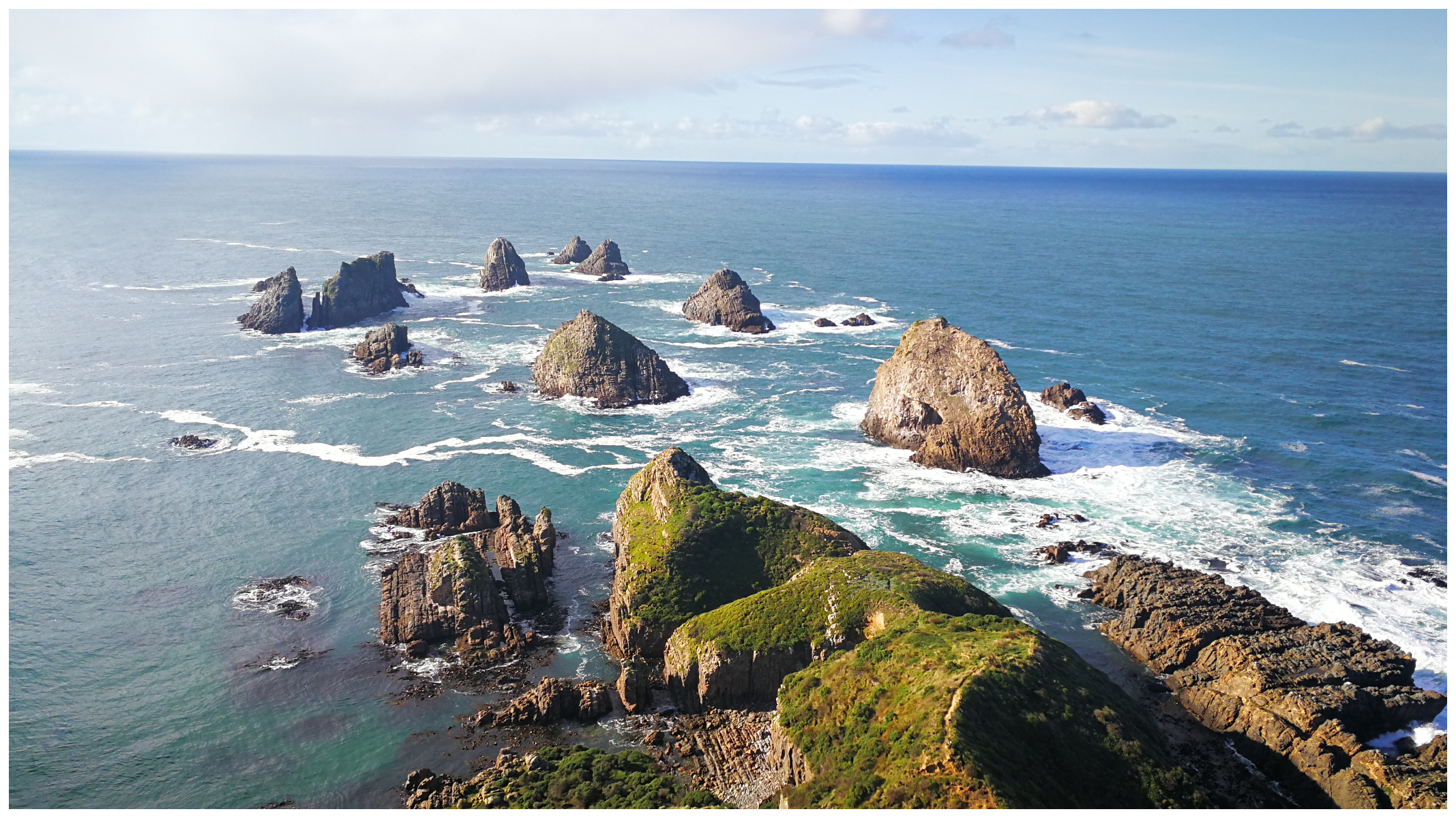
the Nuggets which looked like gold to Capt Cook
Because we were camped minutes down the road, we could make sure we visited the lighthouse earlier in the morning. As the day progressed we witnessed many vehicles and campervans making their way to the lighthouse so we knew just how popular this attraction is on the Catlins coastline.
It turned out to be a great call.
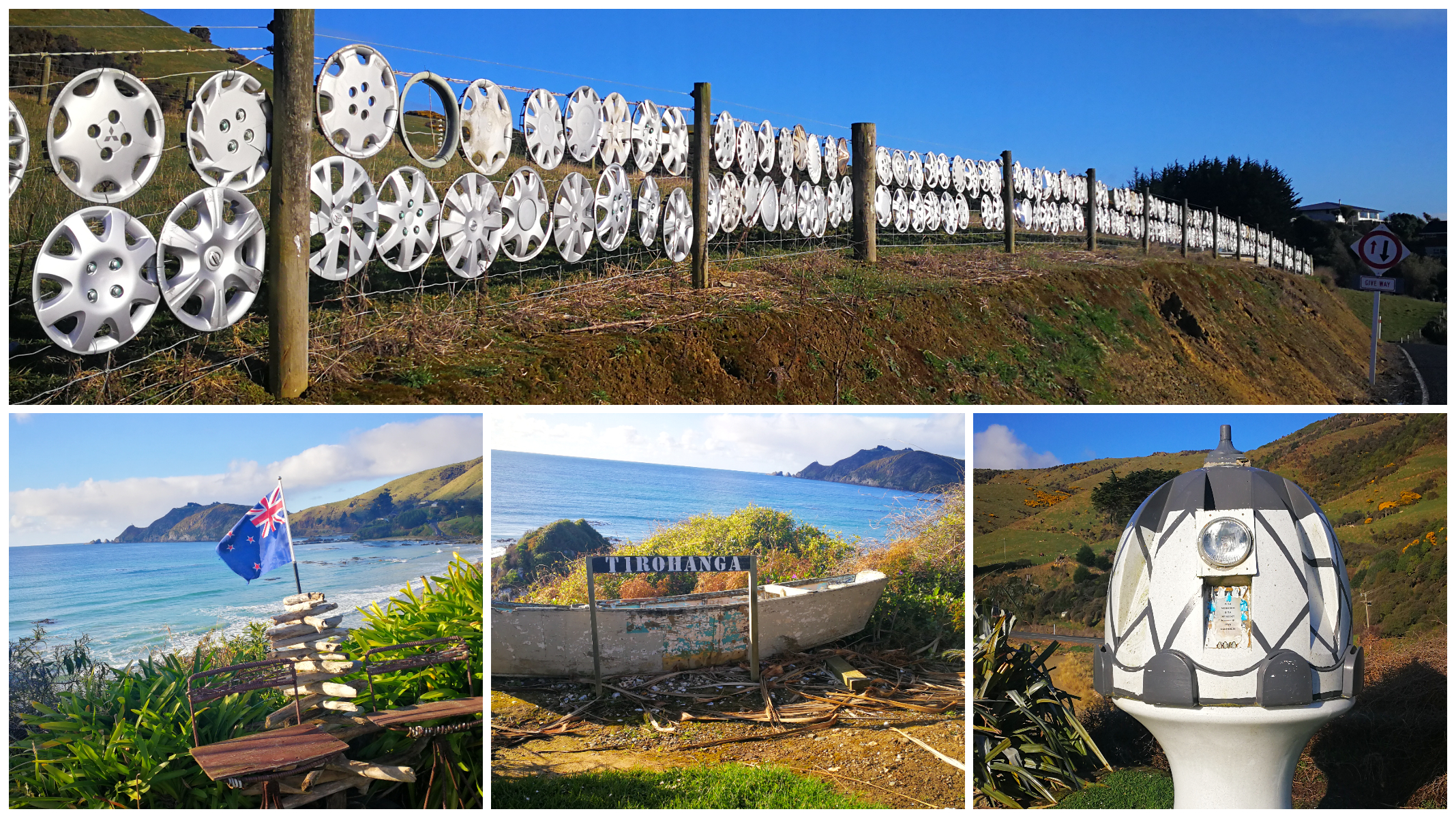
a curious collection on the way to the lighthouse
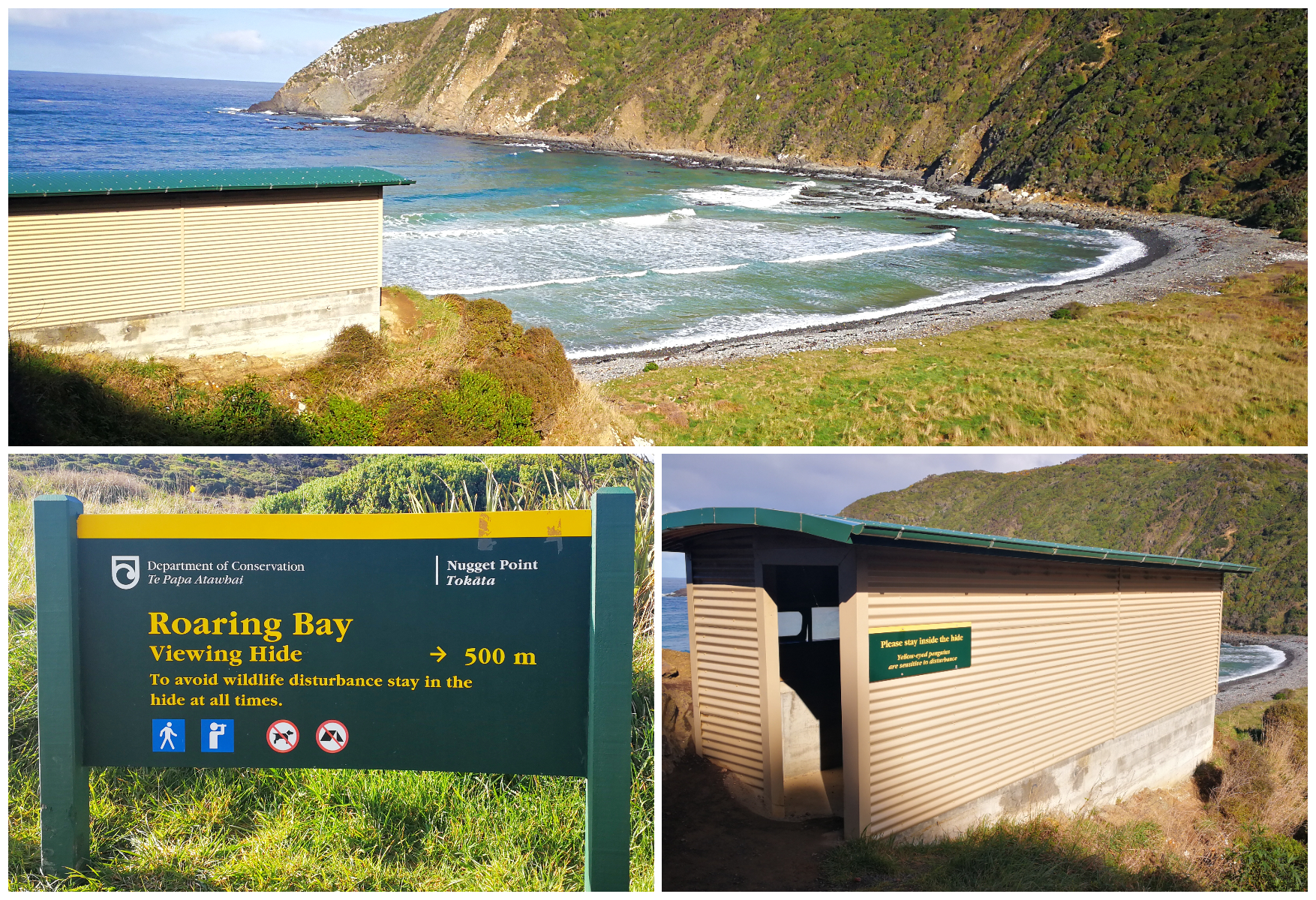
just before the lighthouse, you can do the short walk to Roaring Bay where there is a ‘Hide’ to watch for yellow-eyed penguins
Kaka Point
Kaka Point is approximately 8km north of Nugget Point. Today, it is a small settlement consisting mainly of cribs (holiday homes) and a small number of permanent residents.
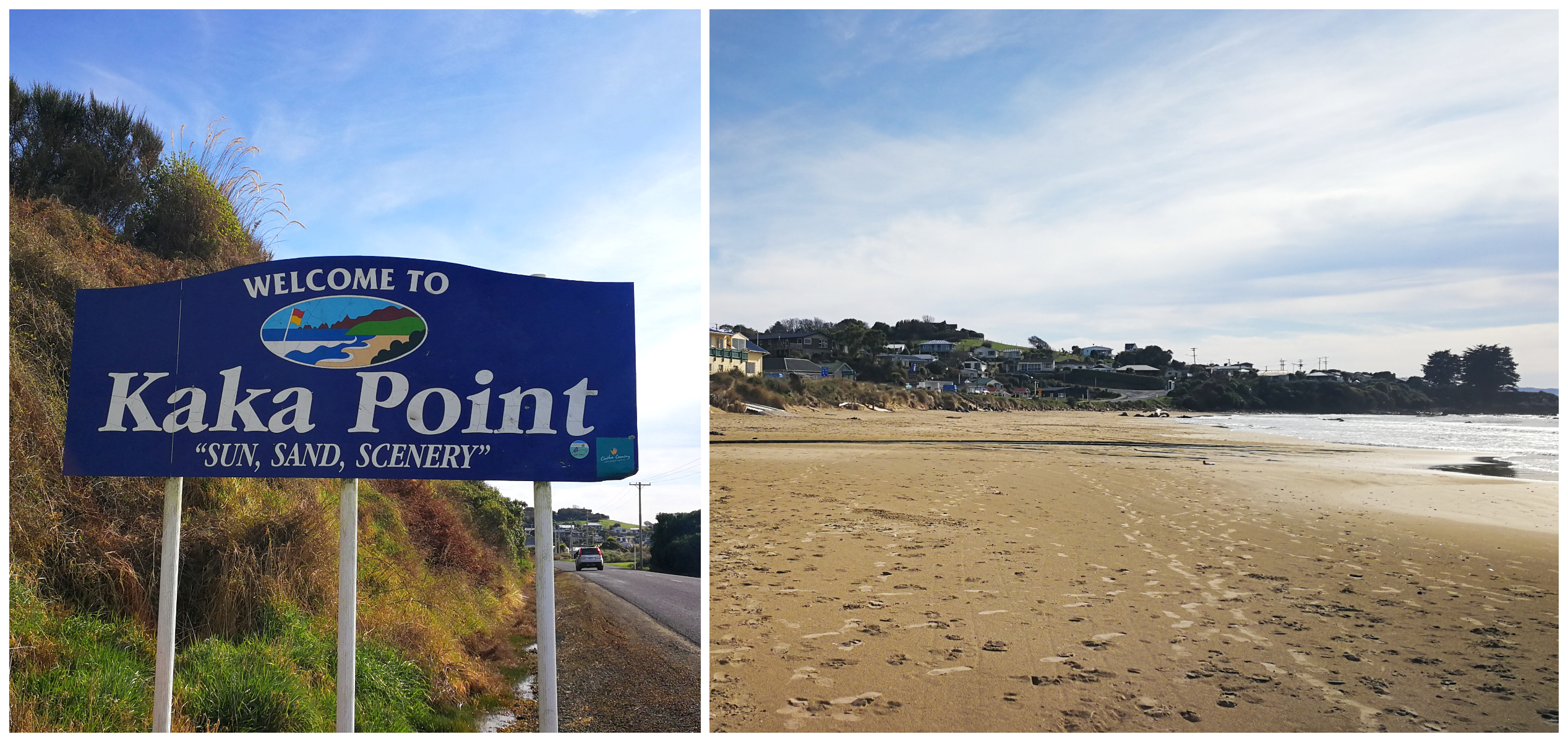
a small settlement made up of holiday homes (cribs) and permanent residents
There is also a good little cafe/bar/restaurant, called The Point Cafe, which incidentally serves a great seafood chowder, showcasing some of the fresh Catlins seafood!
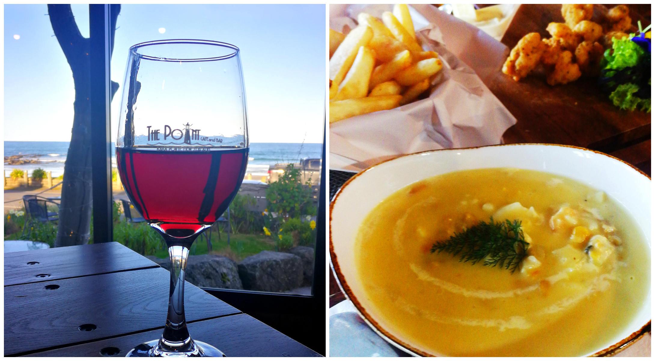
we thought that it was only right that we test the food at The Point!
Winston (our host at Nuggetburn) suggested we look through the numerous photo albums they have there. Whoa, what a wealth of information in those albums (and there were a lot of them). It opened up stories and photos of the history of the Catlins and surrounding area.
Port Molyneux
Just a few more kilometres north of Kaka Point you will come across Port Molyneux. There is nothing there to suggest that it was once a thriving port in the early years of New Zealand’s European settlement. It’s popularity started with it being the site of a whaling station in 1838.
The settlers believed that the port would take off and become busier than Dunedin. The original town plans show an Octagon, similar to Dunedin to be the hub of the large city that was going to be built there.
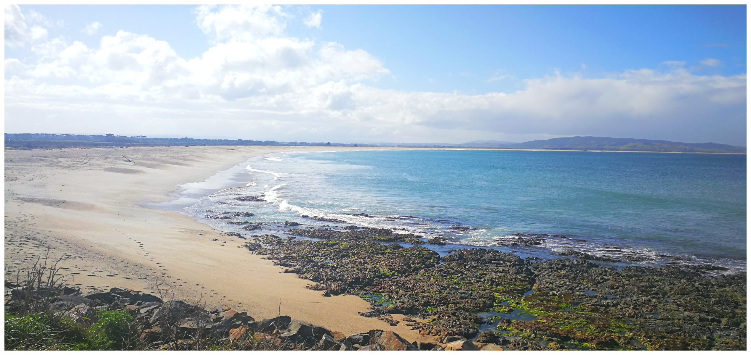
you would never guess that this was the original river mouth where the Clutha River met the sea
This was never to come to fruition. A series of disasters put paid to any future advancements in the grand plan. A major flood hit the area in 1878 and the mouth of the river silted up so much that it changed the Clutha River’s course to where it still is today. This rendered the busy Port Molyneux useless.
Less than 6 months later, there was a massive explosion at the nearby Kaitangata coal mine, killing 34 miners. Then to add insult to injury for the settlement, a railway link from Balclutha to Dunedin opened, which made for easier transportation of goods and passengers to the city and its port.
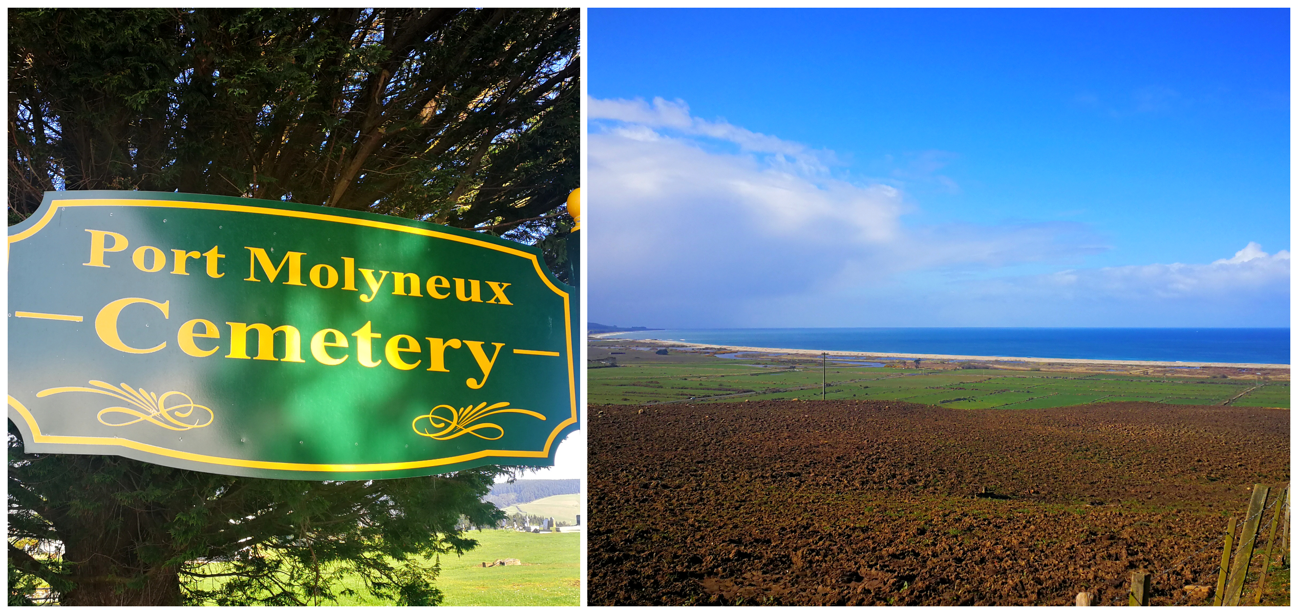
Port Molyneux Cemetery has the best view in the house
Port Molyneux became redundant, along with its 2 general stores, ironmonger, butchers, bootmakers, hotels, customs offices and a sawmill. The restored schoolhouse is still here and the church was moved 4km to the south to become the church at Kaka Point.
Summary
This brings to an end, our exploration of the Catlins coastline. There were still a few things we weren’t able to achieve, but we have to leave some things on the list for next time.
The Catlins is best explored when you aren’t ‘time-sensitive’. It is an area which deserves plenty of time to fully appreciate all that it has to offer.
Click on the link below for a video of our highlights during our time exploring the northern reaches of the Catlins.
